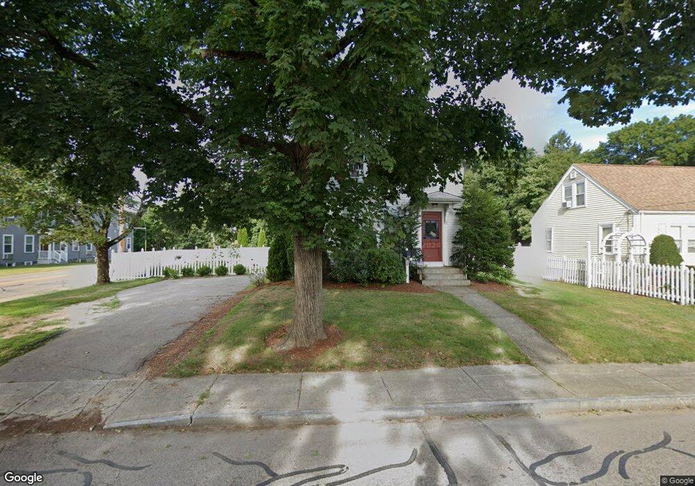
139 Union St Mansfield, MA 02048
Estimated Value: $578,000 - $694,000
4
Beds
2
Baths
1,858
Sq Ft
$340/Sq Ft
Est. Value
About This Home
This home is located at 139 Union St, Mansfield, MA 02048 and is currently estimated at $631,472, approximately $339 per square foot. 139 Union St is a home located in Bristol County with nearby schools including Everett W. Robinson Elementary School, Jordan/Jackson Elementary School, and Harold L. Qualters Middle School.
Ownership History
Date
Name
Owned For
Owner Type
Purchase Details
Closed on
Feb 24, 2005
Sold by
Tang Ti and Tang Melissa
Bought by
Lightbody Mark A and Matz Stacey A
Current Estimated Value
Home Financials for this Owner
Home Financials are based on the most recent Mortgage that was taken out on this home.
Original Mortgage
$249,600
Outstanding Balance
$127,545
Interest Rate
5.73%
Mortgage Type
Purchase Money Mortgage
Estimated Equity
$503,927
Purchase Details
Closed on
Aug 28, 2001
Sold by
Engler Marjorie R and Rioux Genevieve E
Bought by
Tang Ti and Tang Melissa A
Home Financials for this Owner
Home Financials are based on the most recent Mortgage that was taken out on this home.
Original Mortgage
$124,800
Interest Rate
7.21%
Mortgage Type
Purchase Money Mortgage
Create a Home Valuation Report for This Property
The Home Valuation Report is an in-depth analysis detailing your home's value as well as a comparison with similar homes in the area
Home Values in the Area
Average Home Value in this Area
Purchase History
| Date | Buyer | Sale Price | Title Company |
|---|---|---|---|
| Lightbody Mark A | $312,000 | -- | |
| Tang Ti | $156,000 | -- |
Source: Public Records
Mortgage History
| Date | Status | Borrower | Loan Amount |
|---|---|---|---|
| Open | Lightbody Mark A | $249,600 | |
| Previous Owner | Tang Ti | $180,000 | |
| Previous Owner | Tang Ti | $124,800 | |
| Previous Owner | Tang Ti | $50,000 |
Source: Public Records
Tax History
| Year | Tax Paid | Tax Assessment Tax Assessment Total Assessment is a certain percentage of the fair market value that is determined by local assessors to be the total taxable value of land and additions on the property. | Land | Improvement |
|---|---|---|---|---|
| 2025 | $6,008 | $456,200 | $209,000 | $247,200 |
| 2024 | $5,890 | $436,300 | $209,000 | $227,300 |
| 2023 | $5,699 | $404,500 | $209,000 | $195,500 |
| 2022 | $5,648 | $372,300 | $193,500 | $178,800 |
| 2021 | $5,215 | $342,000 | $169,300 | $172,700 |
| 2020 | $4,780 | $311,200 | $161,200 | $150,000 |
| 2019 | $3 | $304,100 | $134,400 | $169,700 |
| 2018 | $4,718 | $290,100 | $128,000 | $162,100 |
| 2017 | $4,257 | $283,400 | $124,300 | $159,100 |
| 2016 | $4,017 | $260,700 | $118,300 | $142,400 |
| 2015 | $3,853 | $248,600 | $118,300 | $130,300 |
Source: Public Records
Map
Nearby Homes
- 2 N Main St Unit B201
- 97 East St
- 28 Court St
- 107 Church St
- 46 Hope St
- 122 Samoset Ave
- 22 Pleasant St Unit B
- 166 Chauncy St
- 7 Fieldstone Dr
- 1 Deer Path Ln
- 25 Kingman Ave
- 28 Angell St
- 14 Windchime Dr
- 7 Liberty St
- 619 N Main St
- 631 East St Unit L101
- 1769 West St
- 356 Central St
- 19 Barberry Rd
- 16 County St
Your Personal Tour Guide
Ask me questions while you tour the home.