1390 Elmwood Ave Unit 38 Shakopee, MN 55379
Estimated Value: $218,703 - $253,000
2
Beds
2
Baths
1,089
Sq Ft
$213/Sq Ft
Est. Value
About This Home
This home is located at 1390 Elmwood Ave Unit 38, Shakopee, MN 55379 and is currently estimated at $231,926, approximately $212 per square foot. 1390 Elmwood Ave Unit 38 is a home located in Scott County with nearby schools including Jackson Elementary School, East Middle School, and Shakopee Senior High School.
Ownership History
Date
Name
Owned For
Owner Type
Purchase Details
Closed on
Feb 3, 2009
Sold by
Wells Fargo Bank
Bought by
Cygnet Management Llc
Current Estimated Value
Purchase Details
Closed on
Mar 22, 2005
Sold by
Not Provided
Bought by
Keodungsy Somchai
Purchase Details
Closed on
Jun 8, 2001
Sold by
Kramer Christina J and Kramer Larry D
Bought by
Beckius Christina M
Purchase Details
Closed on
Jun 4, 1999
Sold by
Pulte Homes Of Minnesota Corp
Bought by
Miller Christina J
Create a Home Valuation Report for This Property
The Home Valuation Report is an in-depth analysis detailing your home's value as well as a comparison with similar homes in the area
Home Values in the Area
Average Home Value in this Area
Purchase History
| Date | Buyer | Sale Price | Title Company |
|---|---|---|---|
| Cygnet Management Llc | $83,000 | -- | |
| Keodungsy Somchai | $156,000 | -- | |
| Beckius Christina M | $124,900 | -- | |
| Miller Christina J | $91,789 | -- |
Source: Public Records
Tax History Compared to Growth
Tax History
| Year | Tax Paid | Tax Assessment Tax Assessment Total Assessment is a certain percentage of the fair market value that is determined by local assessors to be the total taxable value of land and additions on the property. | Land | Improvement |
|---|---|---|---|---|
| 2025 | $2,112 | $208,300 | $68,500 | $139,800 |
| 2024 | $2,114 | $198,700 | $65,200 | $133,500 |
| 2023 | $2,172 | $195,900 | $63,900 | $132,000 |
| 2022 | $2,090 | $198,100 | $65,500 | $132,600 |
| 2021 | $1,814 | $163,100 | $51,300 | $111,800 |
| 2020 | $2,030 | $154,500 | $42,000 | $112,500 |
| 2019 | $1,894 | $151,600 | $44,400 | $107,200 |
| 2018 | $1,850 | $0 | $0 | $0 |
| 2016 | $1,738 | $0 | $0 | $0 |
| 2014 | -- | $0 | $0 | $0 |
Source: Public Records
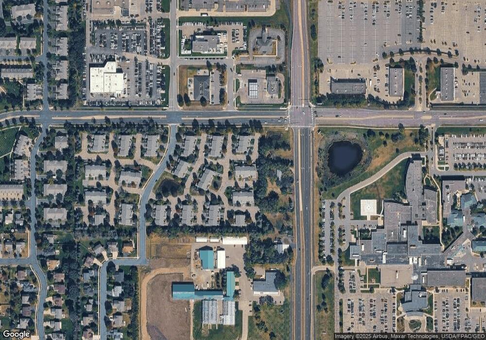
Map
Nearby Homes
- 1022 Providence Dr
- 1590 Countryside Dr Unit 5108
- 1820 Mockingbird Ave
- 1844 Mockingbird Ave Unit 1102
- 849 Providence Dr
- 826 Princeton Ave
- 668 Cobblestone Way
- 1562 Liberty Cir Unit 2403
- 1552 Dublin Ct
- 2052 Wilhelm Ct
- 793 Lupine Ct
- 291 Appleblossom Ln
- 2312 Vierling Dr E
- 2471 Tyrone Dr
- 2447 Tyrone Dr
- 2399 Tyrone Dr
- 335 Bluestem Ave
- 2263 Tyrone Dr
- 1511 England Way
- 2388 Vierling Dr E
- 1382 Highpoint Curve Unit 43
- 1390 Elmwood Ave
- 1380 Highpoint Curve
- 1384 Highpoint Curve
- 1388 Elmwood Ave
- 1394 Elmwood Ave
- 1386 Highpoint Curve Unit 41
- 1398 Elmwood Ave
- 1372 Highpoint Curve
- 1368 Highpoint Curve
- 1364 Highpoint Curve
- 1376 Highpoint Curve Unit 48
- 1391 Elmwood Ave Unit 33
- 1390 Highpoint Curve Unit 34
- 1373 Idlewood Way Unit 50
- 1369 Idlewood Way
- 1365 Idlewood Way
- 1377 Idlewood Way Unit 49
- 1395 Elmwood Ave
- 1394 Highpoint Curve Unit 35