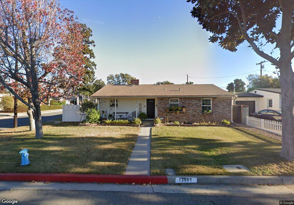
13901 La Forge St Whittier, CA 90605
South Whittier NeighborhoodEstimated Value: $801,257 - $860,000
3
Beds
2
Baths
1,634
Sq Ft
$503/Sq Ft
Est. Value
About This Home
This home is located at 13901 La Forge St, Whittier, CA 90605 and is currently estimated at $822,314, approximately $503 per square foot. 13901 La Forge St is a home located in Los Angeles County with nearby schools including Laurel Elementary School, East Whittier Middle School, and Whittier High School.
Ownership History
Date
Name
Owned For
Owner Type
Purchase Details
Closed on
Sep 14, 2017
Sold by
Munoz Gabriel Reynaldo
Bought by
Munoz Gabriel Reynaldo and Munoz Adela Galvan
Current Estimated Value
Purchase Details
Closed on
May 27, 1994
Sold by
Anderson Kenneth William and Anderson Deborah Ann
Bought by
Munoz Gabriel
Home Financials for this Owner
Home Financials are based on the most recent Mortgage that was taken out on this home.
Original Mortgage
$183,600
Interest Rate
8.35%
Mortgage Type
Assumption
Create a Home Valuation Report for This Property
The Home Valuation Report is an in-depth analysis detailing your home's value as well as a comparison with similar homes in the area
Home Values in the Area
Average Home Value in this Area
Purchase History
| Date | Buyer | Sale Price | Title Company |
|---|---|---|---|
| Munoz Gabriel Reynaldo | -- | California Members Title Co | |
| Munoz Gabriel | $180,000 | American Title Insurance Co |
Source: Public Records
Mortgage History
| Date | Status | Borrower | Loan Amount |
|---|---|---|---|
| Closed | Munoz Gabriel | $183,600 |
Source: Public Records
Tax History
| Year | Tax Paid | Tax Assessment Tax Assessment Total Assessment is a certain percentage of the fair market value that is determined by local assessors to be the total taxable value of land and additions on the property. | Land | Improvement |
|---|---|---|---|---|
| 2025 | $3,899 | $305,913 | $155,505 | $150,408 |
| 2024 | $3,899 | $299,915 | $152,456 | $147,459 |
| 2023 | $3,873 | $294,035 | $149,467 | $144,568 |
| 2022 | $3,915 | $288,271 | $146,537 | $141,734 |
| 2021 | $3,783 | $282,619 | $143,664 | $138,955 |
| 2019 | $3,678 | $274,238 | $139,403 | $134,835 |
| 2018 | $3,554 | $268,862 | $136,670 | $132,192 |
| 2016 | $3,272 | $258,423 | $131,364 | $127,059 |
| 2015 | $3,405 | $254,542 | $129,391 | $125,151 |
| 2014 | $3,361 | $249,557 | $126,857 | $122,700 |
Source: Public Records
Map
Nearby Homes
- 13840 Danbrook Dr
- 14134 Putnam St
- 13649 Lanning Dr
- 8901 Ocean View Ave
- 14215 La Forge St
- 8847 Ocean View Ave
- 9308 Tarryton Ave
- 8346 Sargent Ave
- 9344 Firebird Ave
- 13448 Dunton Dr
- 14351 Starbuck St
- 13856 Mulberry Dr
- 13527 Ramona Dr
- 9834 Ahmann Ave
- 13701 Russell St
- 9551 Barkerville Ave
- 10035 Ben Hur Ave
- 8146 Bright Ave
- 14327 Emory Dr
- 12938 Helmer Dr
- 13907 La Forge St
- 13902 Carnell St
- 13908 Carnell St
- 13913 La Forge St
- 8911 Jacmar Ave
- 8917 Jacmar Ave
- 13902 La Forge St
- 13914 Carnell St
- 13908 La Forge St
- 8905 Jacmar Ave
- 8923 Jacmar Ave
- 13919 La Forge St
- 13914 La Forge St
- 8901 Jacmar Ave
- 13920 Carnell St
- 9005 Jacmar Ave
- 13925 La Forge St
- 13920 La Forge St
- 13901 Flomar Dr
- 13901 Carnell St
Your Personal Tour Guide
Ask me questions while you tour the home.