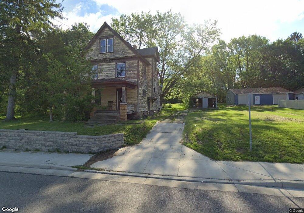
1391 N Canfield Niles Rd Mineral Ridge, OH 44440
Austintown NeighborhoodEstimated Value: $165,837 - $259,000
3
Beds
1
Bath
3,111
Sq Ft
$67/Sq Ft
Est. Value
About This Home
This home is located at 1391 N Canfield Niles Rd, Mineral Ridge, OH 44440 and is currently estimated at $207,279, approximately $66 per square foot. 1391 N Canfield Niles Rd is a home located in Mahoning County with nearby schools including Seaborn Elementary School and Mineral Ridge High School.
Ownership History
Date
Name
Owned For
Owner Type
Purchase Details
Closed on
Jul 19, 2018
Sold by
Conner Vikki
Bought by
Department Of Transportation
Current Estimated Value
Purchase Details
Closed on
Apr 18, 2018
Sold by
Killin Bonnie
Bought by
Conner Vikki
Purchase Details
Closed on
Apr 16, 2018
Sold by
Stafford Mary Jane and Suhar Mary Jane
Bought by
Conner Vikki
Purchase Details
Closed on
Sep 16, 1991
Bought by
Davis Benjamin
Create a Home Valuation Report for This Property
The Home Valuation Report is an in-depth analysis detailing your home's value as well as a comparison with similar homes in the area
Home Values in the Area
Average Home Value in this Area
Purchase History
| Date | Buyer | Sale Price | Title Company |
|---|---|---|---|
| Department Of Transportation | -- | None Available | |
| Conner Vikki | -- | None Available | |
| Conner Vikki | -- | None Available | |
| Davis Benjamin | $2,000 | -- |
Source: Public Records
Tax History Compared to Growth
Tax History
| Year | Tax Paid | Tax Assessment Tax Assessment Total Assessment is a certain percentage of the fair market value that is determined by local assessors to be the total taxable value of land and additions on the property. | Land | Improvement |
|---|---|---|---|---|
| 2024 | $1,323 | $35,100 | $6,490 | $28,610 |
| 2023 | $1,339 | $35,100 | $6,490 | $28,610 |
| 2022 | $675 | $20,060 | $6,570 | $13,490 |
| 2021 | $676 | $20,060 | $6,570 | $13,490 |
| 2020 | $677 | $20,060 | $6,570 | $13,490 |
| 2019 | $702 | $19,170 | $6,570 | $12,600 |
| 2018 | $673 | $19,080 | $6,480 | $12,600 |
| 2017 | $369 | $19,080 | $6,480 | $12,600 |
| 2016 | $438 | $15,270 | $6,400 | $8,870 |
| 2015 | $961 | $15,270 | $6,400 | $8,870 |
| 2014 | $428 | $15,270 | $6,400 | $8,870 |
| 2013 | $424 | $15,270 | $6,400 | $8,870 |
Source: Public Records
Map
Nearby Homes
- 21 E Liberty St
- 1445 E County Line Rd
- 1458 Lincoln Ave
- 0 W Webb Rd
- 3872 Main St
- 3907 Edwards St
- 6 Omalia Dr
- 1676 Rosalyn Cir
- 1757 E County Line Rd
- 1239 Woodledge Dr
- 6360 Meander Glen Dr
- 1684 Morris St
- 6393 Meander Glen Dr
- 5085 Winslow Dr
- 3474 S Main St
- 3440 Lakeside Dr
- 1218 Ohltown McDonald Rd
- 3328 Main St
- 236 Charlestown Place
- 2169 Salt Springs Rd
- 1391 Main St
- 1401 Main St
- 1436 E County Line Rd
- 1409 Main St
- 1426 E County Line Rd
- 1446 W Mahoning Trumbull Co Line Rd
- 1452 E County Line Rd
- 1435 E County Line Rd
- 1460 W Mahoning Trumbull Co Line Rd
- 44 Liberty St E
- 42 Liberty St E
- 1451 E County Line Rd
- 20 Liberty St W
- 19 Liberty St W
- 33 Liberty St E
- 1460 W Ohltown Girard Rd
- 41 Liberty St E
- 3982 Main St
- 48 Liberty St E
- 30 Liberty St W