1395 Bridle Path Hastings, MI 49058
Estimated Value: $405,000 - $476,000
4
Beds
3
Baths
3,540
Sq Ft
$122/Sq Ft
Est. Value
About This Home
This home is located at 1395 Bridle Path, Hastings, MI 49058 and is currently estimated at $432,586, approximately $122 per square foot. 1395 Bridle Path is a home located in Barry County with nearby schools including Hastings High School and St. Rose of Lima School.
Ownership History
Date
Name
Owned For
Owner Type
Purchase Details
Closed on
Mar 31, 2021
Sold by
Pipenger Dave
Bought by
Stout Michael and Stout Sally
Current Estimated Value
Purchase Details
Closed on
Sep 4, 2019
Sold by
Windes Kenneth D and Windes Halina J
Bought by
Pipenger Dave and Pipenger David
Home Financials for this Owner
Home Financials are based on the most recent Mortgage that was taken out on this home.
Original Mortgage
$245,373
Interest Rate
3.62%
Mortgage Type
FHA
Purchase Details
Closed on
May 17, 1996
Bought by
Windes Kenneth D and Windes Halina J
Create a Home Valuation Report for This Property
The Home Valuation Report is an in-depth analysis detailing your home's value as well as a comparison with similar homes in the area
Home Values in the Area
Average Home Value in this Area
Purchase History
| Date | Buyer | Sale Price | Title Company |
|---|---|---|---|
| Stout Michael | $315,000 | First American Title Ins Co | |
| Pipenger Dave | $249,900 | Bell Title Of Hastings | |
| Windes Kenneth D | $155,000 | -- |
Source: Public Records
Mortgage History
| Date | Status | Borrower | Loan Amount |
|---|---|---|---|
| Previous Owner | Pipenger Dave | $245,373 |
Source: Public Records
Tax History Compared to Growth
Tax History
| Year | Tax Paid | Tax Assessment Tax Assessment Total Assessment is a certain percentage of the fair market value that is determined by local assessors to be the total taxable value of land and additions on the property. | Land | Improvement |
|---|---|---|---|---|
| 2025 | $5,985 | $171,200 | $0 | $0 |
| 2024 | $5,985 | $168,900 | $0 | $0 |
| 2023 | $3,837 | $143,000 | $0 | $0 |
| 2022 | $3,837 | $143,000 | $0 | $0 |
| 2021 | $3,837 | $123,900 | $0 | $0 |
| 2020 | $3,837 | $103,000 | $0 | $0 |
| 2019 | $3,837 | $101,500 | $0 | $0 |
| 2018 | $0 | $91,100 | $0 | $0 |
| 2017 | $0 | $92,800 | $0 | $0 |
| 2016 | -- | $94,700 | $0 | $0 |
| 2015 | -- | $87,200 | $0 | $0 |
| 2014 | -- | $87,200 | $0 | $0 |
Source: Public Records
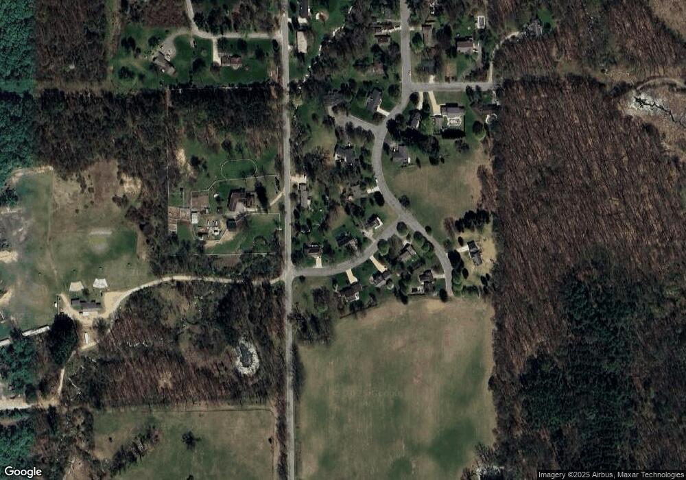
Map
Nearby Homes
- 720 W Bond St
- 714 W Green St
- 331 W South St
- 504 S Washington St
- 1002 S Broadway St
- 236 W Nelson St
- 610 S Park St
- 502 W State St
- 720 S Jefferson St Unit 722
- 821 S Michigan Ave
- 618 Riverwalk St
- 610 Riverwalk St Unit 18
- 112 E Green St
- 338 W Mill St
- 413 E Madison St
- 617 S East St
- 838 S Dibble St
- 2050 Tanner Lake Rd
- 536 E Bond St
- Lot 21 Dakota Trail
- 1395 Bridle Path St
- 1435 Bridle Path
- 1324 David Dr
- 1435 Bridle Path St
- 1310 David Dr
- 1095 Cook Rd
- 1430 Bridle Path
- 1422 Bridle Path
- 1410 Bridle Path
- 1410 Bridle Path
- 1220 David Dr
- 1420 David Dr
- 1096 Cook Rd
- 1215 David Dr
- 0 David Dr
- 15 David Dr
- 1212 Brookside Ct
- 1415 David Dr
- 1330 Ridgewood Dr
- 1210 David Dr