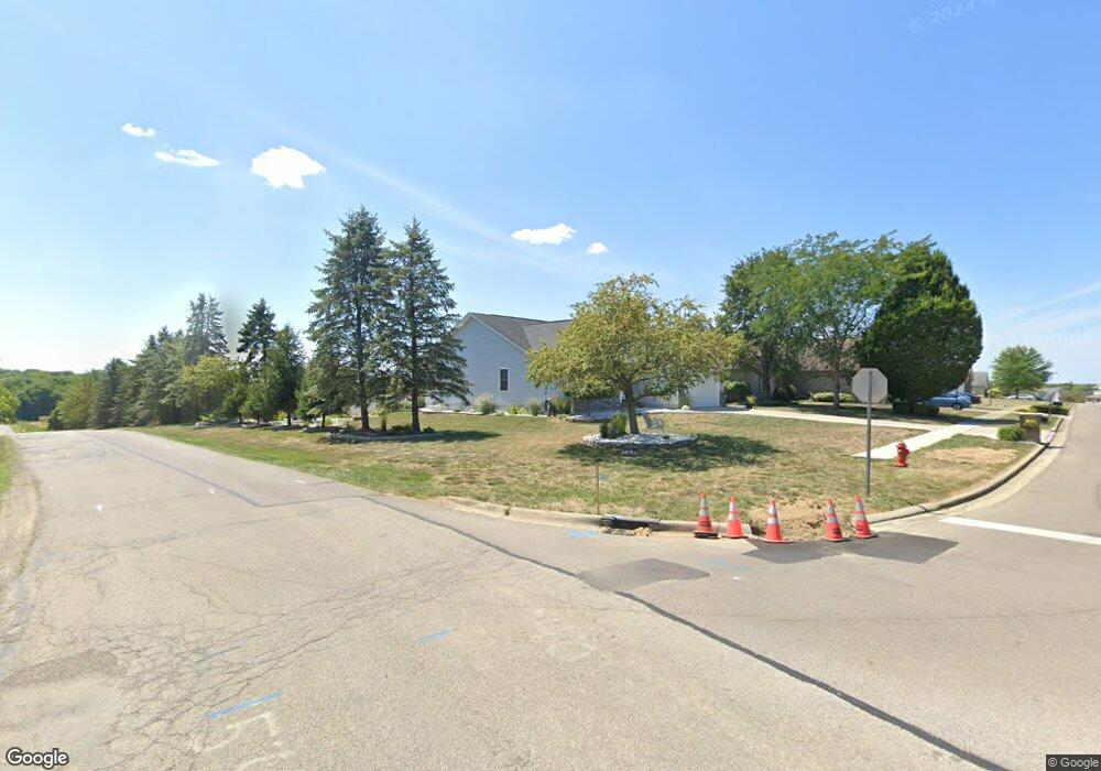
1395 Eastwood Dr Circleville, OH 43113
Estimated Value: $337,000 - $434,000
3
Beds
2
Baths
2,359
Sq Ft
$166/Sq Ft
Est. Value
About This Home
This home is located at 1395 Eastwood Dr, Circleville, OH 43113 and is currently estimated at $392,331, approximately $166 per square foot. 1395 Eastwood Dr is a home located in Pickaway County with nearby schools including Logan Elm High School and Crossroads Christian Academy.
Ownership History
Date
Name
Owned For
Owner Type
Purchase Details
Closed on
May 21, 2021
Sold by
Trimble Robert H and Trimble Karen J
Bought by
Spangler Randy E and Spangler Sheri R
Current Estimated Value
Home Financials for this Owner
Home Financials are based on the most recent Mortgage that was taken out on this home.
Original Mortgage
$248,000
Outstanding Balance
$187,758
Interest Rate
3.1%
Mortgage Type
Future Advance Clause Open End Mortgage
Estimated Equity
$204,573
Purchase Details
Closed on
May 25, 2016
Sold by
Elsea Incorporated
Bought by
Trimble Robert H and Trimble Karen J
Purchase Details
Closed on
Sep 3, 2004
Sold by
Ghiassi Tammy J and Ghiassi Ali
Bought by
Elsea Inc
Purchase Details
Closed on
May 5, 2004
Sold by
Elsea Inc
Bought by
Ghiassi Tammy J
Create a Home Valuation Report for This Property
The Home Valuation Report is an in-depth analysis detailing your home's value as well as a comparison with similar homes in the area
Home Values in the Area
Average Home Value in this Area
Purchase History
| Date | Buyer | Sale Price | Title Company |
|---|---|---|---|
| Spangler Randy E | $310,000 | None Available | |
| Spangler Randy E | -- | None Listed On Document | |
| Trimble Robert H | $21,500 | None Available | |
| Elsea Inc | $25,900 | None Available | |
| Ghiassi Tammy J | $25,900 | Clt |
Source: Public Records
Mortgage History
| Date | Status | Borrower | Loan Amount |
|---|---|---|---|
| Open | Spangler Randy E | $248,000 | |
| Closed | Spangler Randy E | $248,000 |
Source: Public Records
Tax History Compared to Growth
Tax History
| Year | Tax Paid | Tax Assessment Tax Assessment Total Assessment is a certain percentage of the fair market value that is determined by local assessors to be the total taxable value of land and additions on the property. | Land | Improvement |
|---|---|---|---|---|
| 2024 | -- | $116,670 | $16,980 | $99,690 |
| 2023 | $3,827 | $116,670 | $16,980 | $99,690 |
| 2022 | $3,294 | $94,070 | $14,090 | $79,980 |
| 2021 | $3,065 | $94,070 | $14,090 | $79,980 |
| 2020 | $3,105 | $94,070 | $14,090 | $79,980 |
| 2019 | $1,552 | $83,160 | $14,090 | $69,070 |
| 2018 | $2,891 | $83,160 | $14,090 | $69,070 |
| 2017 | $2,366 | $83,160 | $14,090 | $69,070 |
| 2016 | $366 | $11,280 | $11,280 | $0 |
| 2015 | $367 | $11,280 | $11,280 | $0 |
| 2014 | $368 | $11,280 | $11,280 | $0 |
| 2013 | -- | $11,280 | $11,280 | $0 |
Source: Public Records
Map
Nearby Homes
- 0 Old Tarlton Pike
- 6983 Old Tarlton Pike
- 22952 Bolender Pontius Rd
- 24128 Huber Hitler Rd
- 466 John St
- 334 Lancaster Pike
- 7241 State Route 56 E
- 551 E Main St
- 208 Moats Dr
- 152 Griner Ave
- 546 E Ohio St
- 461 Watt St
- 539 E Union St
- 575 Renick Ave
- 474 Half Ave
- 231 Westwood Dr
- 429 Half Ave
- 382 E Franklin St
- 418 Clinton St
- 377 E Union St
- 1385 Eastwood Dr
- 1375 Eastwood Dr
- 1390 Eastwood Dr
- 1078 Ridge Dr
- 1086 Ridge Dr
- 1380 Eastwood Dr
- 1365 Eastwood Dr
- 23430 Bolender Pontius Rd
- 23404 Bolender Pontius Rd
- 1070 Ridge Dr
- 1094 Ridge Dr
- 1355 Eastwood Dr
- 23401 Bolender Pontius Rd
- 1360 Eastwood Dr
- 1062 Ridge Dr
- 23444 Bolender Pontius Rd
- 1345 Eastwood Dr
- 23383 Bolender Pontious Rd
- 23383 Bolender Pontius Rd
- 1054 Ridge Dr