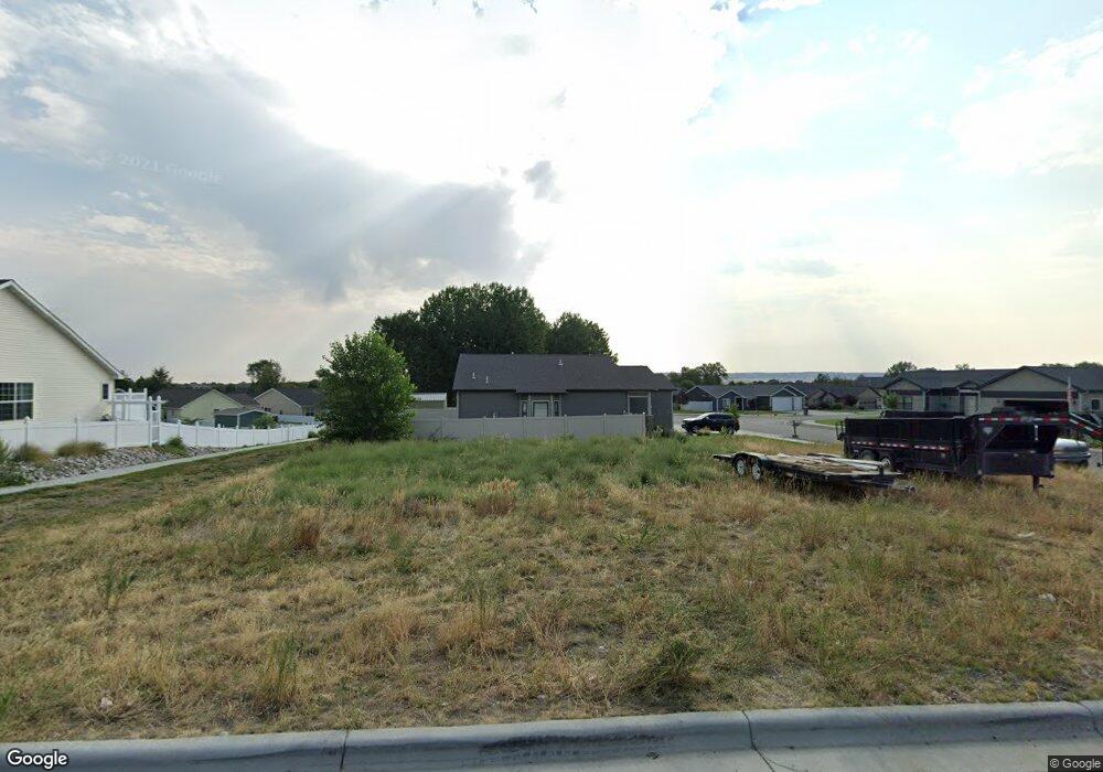
1395 Watson Peak Rd Billings, MT 59105
Billings Heights NeighborhoodEstimated Value: $412,000 - $456,863
4
Beds
3
Baths
2,545
Sq Ft
$171/Sq Ft
Est. Value
About This Home
This home is located at 1395 Watson Peak Rd, Billings, MT 59105 and is currently estimated at $434,216, approximately $170 per square foot. 1395 Watson Peak Rd is a home located in Yellowstone County with nearby schools including Bench School, Medicine Crow Middle School, and Skyview High School.
Ownership History
Date
Name
Owned For
Owner Type
Purchase Details
Closed on
Jul 28, 2022
Sold by
Green Jeans Llc
Bought by
Mallak Ilyass
Current Estimated Value
Home Financials for this Owner
Home Financials are based on the most recent Mortgage that was taken out on this home.
Original Mortgage
$359,920
Outstanding Balance
$343,931
Interest Rate
5.78%
Mortgage Type
New Conventional
Estimated Equity
$90,285
Create a Home Valuation Report for This Property
The Home Valuation Report is an in-depth analysis detailing your home's value as well as a comparison with similar homes in the area
Home Values in the Area
Average Home Value in this Area
Purchase History
| Date | Buyer | Sale Price | Title Company |
|---|---|---|---|
| Mallak Ilyass | -- | Chicago Title |
Source: Public Records
Mortgage History
| Date | Status | Borrower | Loan Amount |
|---|---|---|---|
| Open | Mallak Ilyass | $359,920 |
Source: Public Records
Tax History Compared to Growth
Tax History
| Year | Tax Paid | Tax Assessment Tax Assessment Total Assessment is a certain percentage of the fair market value that is determined by local assessors to be the total taxable value of land and additions on the property. | Land | Improvement |
|---|---|---|---|---|
| 2025 | $3,900 | $446,400 | $59,041 | $387,359 |
| 2024 | $3,900 | $392,100 | $56,212 | $335,888 |
| 2023 | $3,877 | $392,100 | $56,212 | $335,888 |
| 2022 | $1,673 | $129,842 | $0 | $0 |
| 2021 | $741 | $48,252 | $0 | $0 |
| 2020 | $764 | $49,008 | $0 | $0 |
| 2019 | $738 | $49,008 | $0 | $0 |
| 2018 | $732 | $48,183 | $0 | $0 |
| 2017 | $701 | $48,183 | $0 | $0 |
| 2016 | $657 | $45,092 | $0 | $0 |
| 2015 | $645 | $45,092 | $0 | $0 |
| 2014 | $296 | $3,997 | $0 | $0 |
Source: Public Records
Map
Nearby Homes
- 1422 Watson Peak Rd
- 1410 Twin Oaks Dr
- 1443 Twin Oaks Dr
- TBD Saint Andrews Dr
- 277 Westchester Square S
- 69 Nugget Place
- 228 Nash Ln
- 218 Reda Ln Unit 4
- 218 Reda Ln Unit 3
- 1029 Nutter Blvd
- 211 Stillwater Ln
- 130 132 Stillwater Ln
- 1322 Babcock Cir
- lot 12 Southern Sky Estates
- 225 Windsor Cir N
- 1717 Sylvan Ln
- 385 Prospectors Ln
- 1725 Broadview Dr
- 210 Covert Ln
- 104 Stillwater Ln
- 1383 Twin Lakes Dr
- 1397 Watson Peak Rd
- 1392 Watson Peak Rd
- TBD Watson Peak Rd
- 1363 Watson Peak Rd
- 1401 Watson Peak Rd
- 1401 Watson Peak Rd
- 1380 Watson Peak Rd
- 1396 Watson Peak Rd
- 1396 Watson Peak Rd
- 1375 Twin Lakes Dr
- 1370 Twin Lakes Dr
- 1403 Watson Peak Rd
- 1368 Watson Peak Rd
- 1402 Watson Peak Rd
- 1402 Watson Peak Rd
- 1351 Watson Peak Rd
- 1405 Watson Peak Rd
- 1356 Watson Peak Rd
- 1367 Twin Lakes Dr