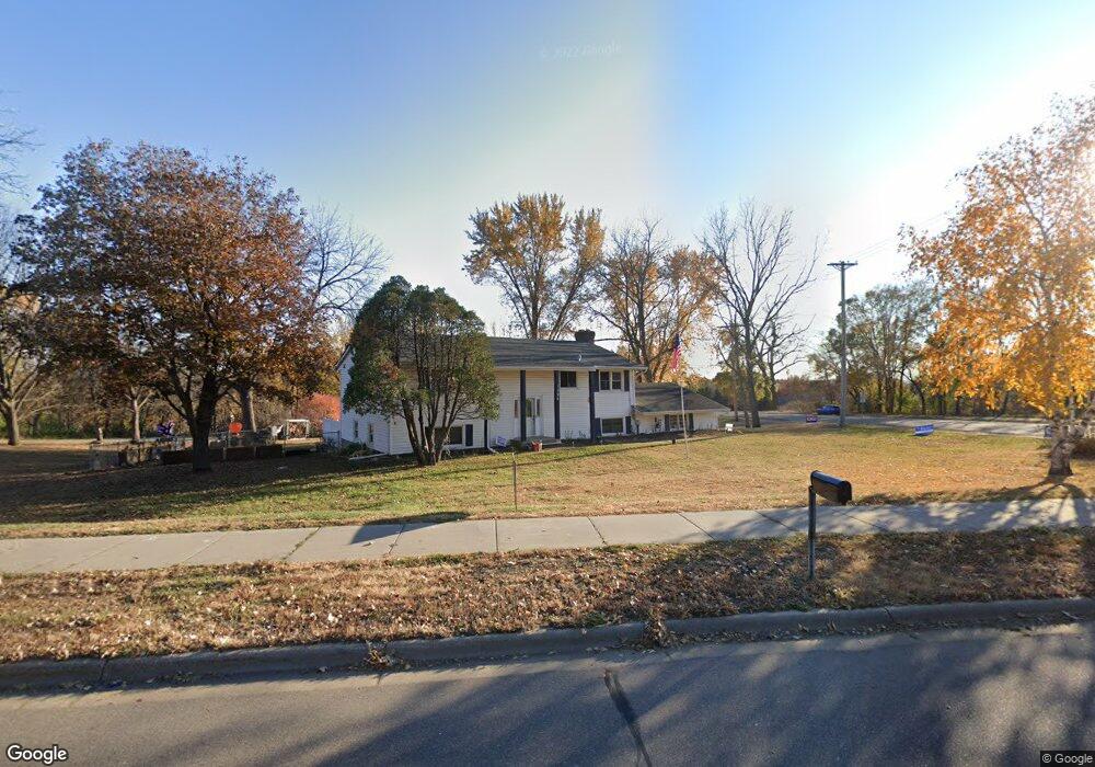
1396 Lone Oak Rd Saint Paul, MN 55121
Estimated Value: $439,000 - $593,000
4
Beds
2
Baths
1,288
Sq Ft
$377/Sq Ft
Est. Value
About This Home
This home is located at 1396 Lone Oak Rd, Saint Paul, MN 55121 and is currently estimated at $485,717, approximately $377 per square foot. 1396 Lone Oak Rd is a home located in Dakota County with nearby schools including Pilot Knob STEM Magnet School, Friendly Hills Middle School, and Two Rivers High School.
Ownership History
Date
Name
Owned For
Owner Type
Purchase Details
Closed on
Apr 15, 2016
Sold by
Mahowald Nancy C
Bought by
Mahowald Steven A
Current Estimated Value
Home Financials for this Owner
Home Financials are based on the most recent Mortgage that was taken out on this home.
Original Mortgage
$222,323
Interest Rate
3.48%
Mortgage Type
FHA
Create a Home Valuation Report for This Property
The Home Valuation Report is an in-depth analysis detailing your home's value as well as a comparison with similar homes in the area
Home Values in the Area
Average Home Value in this Area
Purchase History
| Date | Buyer | Sale Price | Title Company |
|---|---|---|---|
| Mahowald Steven A | $230,000 | Premier Title |
Source: Public Records
Mortgage History
| Date | Status | Borrower | Loan Amount |
|---|---|---|---|
| Previous Owner | Mahowald Steven A | $222,323 |
Source: Public Records
Tax History Compared to Growth
Tax History
| Year | Tax Paid | Tax Assessment Tax Assessment Total Assessment is a certain percentage of the fair market value that is determined by local assessors to be the total taxable value of land and additions on the property. | Land | Improvement |
|---|---|---|---|---|
| 2024 | $3,804 | $418,900 | $102,600 | $316,300 |
| 2023 | $3,804 | $425,900 | $102,900 | $323,000 |
| 2022 | $3,282 | $413,500 | $102,600 | $310,900 |
| 2021 | $3,076 | $348,200 | $89,200 | $259,000 |
| 2020 | $3,200 | $318,600 | $85,000 | $233,600 |
| 2019 | $3,314 | $320,100 | $80,900 | $239,200 |
| 2018 | $2,784 | $317,600 | $77,100 | $240,500 |
| 2017 | $2,736 | $274,500 | $73,400 | $201,100 |
| 2016 | $2,669 | $259,100 | $69,900 | $189,200 |
| 2015 | $2,735 | $236,677 | $65,833 | $170,844 |
| 2014 | -- | $234,606 | $63,966 | $170,640 |
| 2013 | -- | $222,943 | $57,627 | $165,316 |
Source: Public Records
Map
Nearby Homes
- 3050 Shields Dr Unit 103
- 1360 Lone Oak Rd
- 3063 Timberwood Trail Unit 41
- 3082 Timberwood Trail Unit 34
- 2865 Pilot Knob Rd
- 3158 Quarry Ct
- 2850 Bridgeview Terrace
- 1700 Four Oaks Rd Unit 118
- 1700 Four Oaks Rd Unit 314B
- 1603 Raindrop Dr
- 3243 Evergreen Dr
- 1076 Mckee St
- 3259 Valley Ridge Dr Unit 10
- 3268 Valley Ridge Dr Unit 37
- 3296 Hill Ridge Dr Unit 58
- 3419 Highlander Dr
- 1544 Greenwood Ct N
- 1481 Woodview Ave E
- 3470 Greenwood Ct S
- 1654 Hunt Dr
- 3015 Shields Dr
- 3030 Shields Dr Unit 103
- 3030 Shields Dr Unit 107
- 3030 Shields Dr Unit 106
- 3030 Shields Dr Unit 105
- 3030 Shields Dr Unit 104
- 3030 Shields Dr Unit 103
- 3030 Shields Dr Unit 102
- 3030 Shields Dr Unit 101
- 3030 3030 Shields Dr
- 1395 Lone Oak Rd
- 1386 Lone Oak Rd
- 3018 Timberwood Trail Unit 1
- 3014 Timberwood Trail
- 2995 Burnside Ave
- 3016 Timberwood Trail Unit 2
- 3040 Shields Dr Unit 106
- 3040 Shields Dr Unit 105
- 3040 Shields Dr Unit 104
- 3040 Shields Dr Unit 103