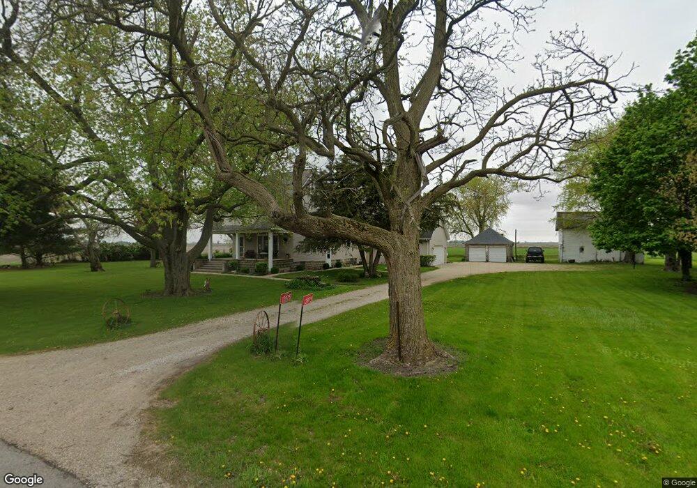
13975 Mckanna Rd Minooka, IL 60447
North Minooka NeighborhoodEstimated Value: $480,000 - $769,000
3
Beds
3
Baths
3,600
Sq Ft
$163/Sq Ft
Est. Value
About This Home
This home is located at 13975 Mckanna Rd, Minooka, IL 60447 and is currently estimated at $588,286, approximately $163 per square foot. 13975 Mckanna Rd is a home located in Kendall County with nearby schools including Jones Elementary School, Minooka Junior High School, and Minooka Intermediate School.
Ownership History
Date
Name
Owned For
Owner Type
Purchase Details
Closed on
May 1, 2023
Sold by
Gliwa Alexander G and Gliwa Cathy L
Bought by
Gliwa Family Declaration Of Trust
Current Estimated Value
Purchase Details
Closed on
Sep 1, 1992
Bought by
Gliea Alexander G and Gliea Cathy L
Create a Home Valuation Report for This Property
The Home Valuation Report is an in-depth analysis detailing your home's value as well as a comparison with similar homes in the area
Home Values in the Area
Average Home Value in this Area
Purchase History
| Date | Buyer | Sale Price | Title Company |
|---|---|---|---|
| Gliwa Family Declaration Of Trust | -- | None Listed On Document | |
| Gliea Alexander G | $120,000 | -- |
Source: Public Records
Mortgage History
| Date | Status | Borrower | Loan Amount |
|---|---|---|---|
| Closed | Gliea Alexander G | -- |
Source: Public Records
Tax History Compared to Growth
Tax History
| Year | Tax Paid | Tax Assessment Tax Assessment Total Assessment is a certain percentage of the fair market value that is determined by local assessors to be the total taxable value of land and additions on the property. | Land | Improvement |
|---|---|---|---|---|
| 2024 | $9,982 | $144,613 | $14,377 | $130,236 |
| 2023 | $0 | $124,569 | $13,692 | $110,877 |
| 2022 | $8,148 | $115,624 | $12,332 | $103,292 |
| 2021 | $7,896 | $109,617 | $12,520 | $97,097 |
| 2020 | $7,952 | $108,071 | $12,343 | $95,728 |
| 2019 | $7,707 | $102,661 | $11,725 | $90,936 |
| 2018 | $7,391 | $98,870 | $11,725 | $87,145 |
| 2017 | $7,277 | $93,556 | $11,095 | $82,461 |
| 2016 | $6,278 | $80,964 | $10,958 | $70,006 |
| 2015 | $5,980 | $76,838 | $10,958 | $65,880 |
| 2014 | -- | $39,728 | $10,958 | $28,770 |
| 2013 | -- | $39,728 | $10,958 | $28,770 |
Source: Public Records
Map
Nearby Homes
- 1133 Coneflower Ct
- 8508 Sawyer Ct
- 8513 Sawyer Ct
- 8413 Eva Ave
- 8102 Wood River St
- 15771 Brisbin Rd
- 8010 Wood River St
- 8304 Coop Ave
- 409 Rockfish St
- 911 Bluebell Cir
- 1045 Heron Cir
- 2041 Isabella Ln
- 2033 Isabella
- 194 acres W Holt Rd
- Lot 1 Minooka Ridge & Jones Rd
- 1028 Heron Cir
- 7911 Indigo Dr
- 1003 Plaintain Dr
- 914 Salvia Ln
- 1002 Angelica Cir
- 13753 Mckanna Rd
- 13724 Mckanna Rd
- 14476 Mckanna Rd
- 13788 Mckanna Rd
- 13588 Mckanna Rd
- 13990 Mckanna Rd
- 13400 Mckanna Rd
- 13330 Mckanna Rd
- 13300 Mckanna Rd
- 3279 Us Highway 52
- 3147 Us Highway 52
- 13270 Mckanna Rd
- 3478 Us Highway 52
- 13237 Mckanna Rd
- 13250 Mckanna Rd
- 13220 Mckanna Rd
- 13180 Mckanna Rd
- 3055 Us Highway 52
- 3055 U S 52
- 13150 Mckanna Rd