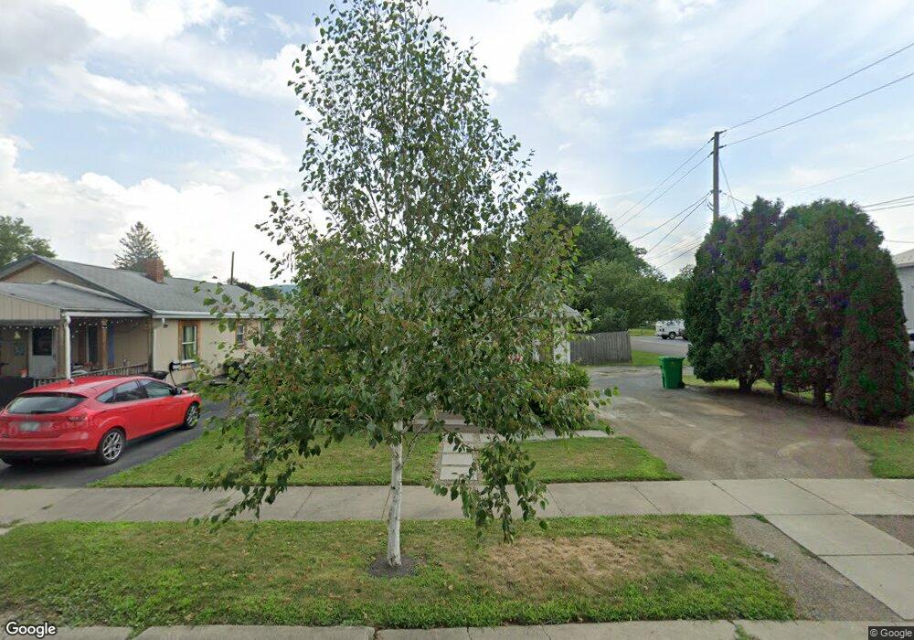
14 Balcom Ave Corning, NY 14830
Estimated Value: $110,488 - $132,000
2
Beds
1
Bath
840
Sq Ft
$142/Sq Ft
Est. Value
About This Home
This home is located at 14 Balcom Ave, Corning, NY 14830 and is currently estimated at $119,372, approximately $142 per square foot. 14 Balcom Ave is a home located in Steuben County with nearby schools including Hugh W. Gregg Elementary School, Corning-Painted Post Middle School, and Corning-Painted Post High School.
Ownership History
Date
Name
Owned For
Owner Type
Purchase Details
Closed on
Sep 14, 2012
Sold by
Mayo Dan
Bought by
Cook Shelby
Current Estimated Value
Home Financials for this Owner
Home Financials are based on the most recent Mortgage that was taken out on this home.
Original Mortgage
$54,003
Outstanding Balance
$37,683
Interest Rate
3.75%
Mortgage Type
FHA
Estimated Equity
$81,689
Purchase Details
Closed on
Nov 11, 1998
Sold by
Trust Stiker Warren G & Eleano
Bought by
Mayo Dan B
Create a Home Valuation Report for This Property
The Home Valuation Report is an in-depth analysis detailing your home's value as well as a comparison with similar homes in the area
Home Values in the Area
Average Home Value in this Area
Purchase History
| Date | Buyer | Sale Price | Title Company |
|---|---|---|---|
| Cook Shelby | $55,000 | -- | |
| Mayo Dan B | $20,000 | -- |
Source: Public Records
Mortgage History
| Date | Status | Borrower | Loan Amount |
|---|---|---|---|
| Open | Cook Shelby | $54,003 |
Source: Public Records
Tax History
| Year | Tax Paid | Tax Assessment Tax Assessment Total Assessment is a certain percentage of the fair market value that is determined by local assessors to be the total taxable value of land and additions on the property. | Land | Improvement |
|---|---|---|---|---|
| 2024 | $3,120 | $91,000 | $10,000 | $81,000 |
| 2023 | $3,101 | $91,000 | $10,000 | $81,000 |
| 2022 | $2,737 | $91,000 | $10,000 | $81,000 |
| 2021 | $2,123 | $57,100 | $6,200 | $50,900 |
| 2020 | $1,047 | $57,100 | $6,200 | $50,900 |
| 2019 | $1,371 | $57,100 | $6,200 | $50,900 |
| 2018 | $1,371 | $57,100 | $6,200 | $50,900 |
| 2017 | $1,176 | $46,000 | $6,200 | $39,800 |
| 2016 | $1,153 | $46,000 | $6,200 | $39,800 |
| 2015 | -- | $46,000 | $6,200 | $39,800 |
| 2014 | -- | $46,000 | $6,200 | $39,800 |
Source: Public Records
Map
Nearby Homes
- 117 Reynolds Ave
- 196 W Pulteney St
- 180 W Pulteney St
- 24 Stanton St
- 229 Dodge Ave
- 138 W William St
- 340 E High St
- 307 Princeton Avenue Extension
- 369 Delaware Ave
- 00 Delaware Ave
- 00-3 Winfield St
- 00-2 Winfield St
- 00-4 Winfield St
- 00-1 Winfield St
- 59 Griffith St
- 179 Sly Ave
- 63 Sterling St
- 184 Sly Ave
- 385 Imperial Ave
- 330 Dodge Avenue Extension
Your Personal Tour Guide
Ask me questions while you tour the home.