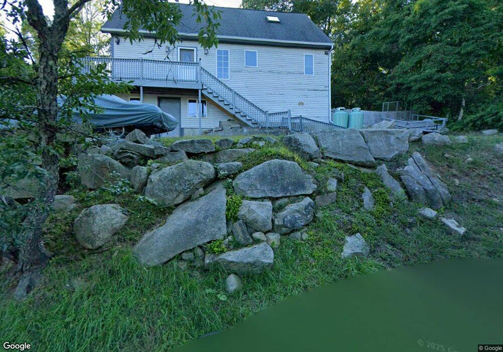
14 Brooks Rd Gloucester, MA 01930
West Gloucester NeighborhoodEstimated Value: $769,766 - $1,010,000
3
Beds
2
Baths
1,820
Sq Ft
$510/Sq Ft
Est. Value
About This Home
This home is located at 14 Brooks Rd, Gloucester, MA 01930 and is currently estimated at $928,192, approximately $509 per square foot. 14 Brooks Rd is a home located in Essex County with nearby schools including West Parish, Ralph B O'maley Middle School, and Gloucester High School.
Ownership History
Date
Name
Owned For
Owner Type
Purchase Details
Closed on
Dec 23, 1998
Sold by
Braz John and Braz Kristin D
Bought by
White Patrick F
Current Estimated Value
Purchase Details
Closed on
Dec 27, 1994
Sold by
Giglio Mary K and Giglio Joseph
Bought by
Alaska Louisiana Partn
Create a Home Valuation Report for This Property
The Home Valuation Report is an in-depth analysis detailing your home's value as well as a comparison with similar homes in the area
Home Values in the Area
Average Home Value in this Area
Purchase History
| Date | Buyer | Sale Price | Title Company |
|---|---|---|---|
| White Patrick F | $90,000 | -- | |
| Alaska Louisiana Partn | $107,250 | -- |
Source: Public Records
Mortgage History
| Date | Status | Borrower | Loan Amount |
|---|---|---|---|
| Open | Alaska Louisiana Partn | $357,000 | |
| Closed | Alaska Louisiana Partn | $75,000 | |
| Closed | Alaska Louisiana Partn | $50,000 |
Source: Public Records
Tax History
| Year | Tax Paid | Tax Assessment Tax Assessment Total Assessment is a certain percentage of the fair market value that is determined by local assessors to be the total taxable value of land and additions on the property. | Land | Improvement |
|---|---|---|---|---|
| 2025 | $5,919 | $609,000 | $201,200 | $407,800 |
| 2024 | $5,952 | $611,700 | $191,600 | $420,100 |
| 2023 | $5,774 | $545,200 | $171,100 | $374,100 |
| 2022 | $5,233 | $446,100 | $148,800 | $297,300 |
| 2021 | $5,286 | $424,900 | $135,300 | $289,600 |
| 2020 | $5,137 | $416,600 | $135,300 | $281,300 |
| 2019 | $4,982 | $392,600 | $135,300 | $257,300 |
| 2018 | $4,871 | $376,700 | $135,300 | $241,400 |
| 2017 | $4,676 | $354,500 | $128,800 | $225,700 |
| 2016 | $4,637 | $340,700 | $134,400 | $206,300 |
| 2015 | $4,494 | $329,200 | $134,400 | $194,800 |
Source: Public Records
Map
Nearby Homes
- 167 Atlantic St
- 178 Atlantic St
- 226 Atlantic St
- 13 Honeysuckle Rd
- 2 Breezy Point Rd
- 5 Samoset Rd Unit B
- 7 Leaman Dr
- 3 Deacon Farm Ln
- 368 Essex Ave
- 31 Echo Ave
- 24 Cobblestone Ln Unit 603
- 5 Lepage Ln
- 672 Washington St
- 145 Essex Ave Unit 402
- 3 Rockland St
- 15 Lufkin Point Rd
- 587 Essex Ave
- 6 Monroe Ct
- 13 Mystic Ave
- 8 Mystic Ave
Your Personal Tour Guide
Ask me questions while you tour the home.