14 Daisy Ln Royston, GA 30662
Estimated Value: $276,000 - $331,000
2
Beds
2
Baths
2,040
Sq Ft
$150/Sq Ft
Est. Value
About This Home
This home is located at 14 Daisy Ln, Royston, GA 30662 and is currently estimated at $305,892, approximately $149 per square foot. 14 Daisy Ln is a home located in Hart County with nearby schools including Hart County High School.
Ownership History
Date
Name
Owned For
Owner Type
Purchase Details
Closed on
Jul 17, 2017
Sold by
Hendrix Barbara Jean
Bought by
Teel Tonya S and Teel James E
Current Estimated Value
Home Financials for this Owner
Home Financials are based on the most recent Mortgage that was taken out on this home.
Original Mortgage
$142,373
Outstanding Balance
$119,649
Interest Rate
4.75%
Mortgage Type
FHA
Estimated Equity
$186,243
Purchase Details
Closed on
Aug 15, 2013
Sold by
Wright Joyce Hopkins
Bought by
Hendrix Barbara Jean
Home Financials for this Owner
Home Financials are based on the most recent Mortgage that was taken out on this home.
Original Mortgage
$58,300
Interest Rate
4.39%
Mortgage Type
New Conventional
Purchase Details
Closed on
Mar 13, 2006
Sold by
Ginn Shanda Massey
Bought by
Hyde Ronnie W
Create a Home Valuation Report for This Property
The Home Valuation Report is an in-depth analysis detailing your home's value as well as a comparison with similar homes in the area
Purchase History
| Date | Buyer | Sale Price | Title Company |
|---|---|---|---|
| Teel Tonya S | $145,000 | -- | |
| Hendrix Barbara Jean | -- | -- | |
| Hyde Ronnie W | $22,000 | -- |
Source: Public Records
Mortgage History
| Date | Status | Borrower | Loan Amount |
|---|---|---|---|
| Open | Teel Tonya S | $142,373 | |
| Previous Owner | Hendrix Barbara Jean | $58,300 |
Source: Public Records
Tax History
| Year | Tax Paid | Tax Assessment Tax Assessment Total Assessment is a certain percentage of the fair market value that is determined by local assessors to be the total taxable value of land and additions on the property. | Land | Improvement |
|---|---|---|---|---|
| 2025 | $1,567 | $113,668 | $8,590 | $105,078 |
| 2024 | $1,760 | $113,989 | $7,645 | $106,344 |
| 2023 | $1,601 | $96,140 | $6,312 | $89,828 |
| 2022 | $1,432 | $86,025 | $5,567 | $80,458 |
| 2021 | $1,400 | $75,479 | $2,932 | $72,547 |
| 2020 | $1,369 | $70,708 | $2,854 | $67,854 |
| 2019 | $1,315 | $67,258 | $2,854 | $64,404 |
| 2018 | $1,147 | $66,555 | $2,854 | $63,701 |
| 2017 | $1,110 | $65,856 | $2,854 | $63,002 |
| 2016 | $1,115 | $64,369 | $1,985 | $62,384 |
| 2015 | $1,036 | $63,368 | $2,532 | $60,837 |
| 2014 | $989 | $60,055 | $1,535 | $58,520 |
| 2013 | -- | $60,671 | $1,535 | $59,136 |
Source: Public Records
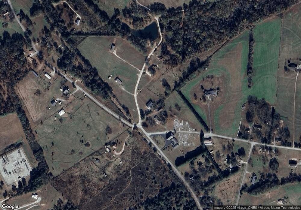
Map
Nearby Homes
- 233 Duncan Rd
- 1398 Vanna Rd
- 384 Freedom Church Rd
- 397 Reed Brawner Rd
- 2695 Wildcat Bridge Rd
- 40 Burch St
- 0 Five Forks Rd Unit 10619685
- 3657 Wildcat Bridge Rd
- 267 Adams Place Dr
- 527 Daniel St
- 3322 Cheek Pulliam Rd
- 342 Phillips Cir
- 138 Omer Bond Rd
- 00 Georgia 17
- 6.30 Royston Bypass
- 401 Georgia 17
- 1366 Dove Drake Rd
- 0 Wildcat Bridge Rd Unit 23872265
- 0 Wildcat Bridge Rd Unit 10544672
- 285 Bowers St
- 3395 Old Elbert Rd
- 3393 Old Elbert Rd
- 48 Daisy Ln
- 3372 Old Elbert Rd
- 1068 Joe Findley Rd
- 217 Daisy Ln
- 3541 Old Elbert Rd
- 496 Joe Findley Rd
- 3234 Old Elbert Rd
- 2681 Georgia 17
- 3234 Elbert Rd
- 36 Brown Rd
- 3117 Old Elbert Rd
- 3589 Old Elbert Rd
- 990 Joe Findley Rd
- 2717 Georgia 17
- 3136 Old Elbert Rd
- 219 Daisy Ln
- 403 Brown Rd
- 2717 Highway 17 S
Your Personal Tour Guide
Ask me questions while you tour the home.