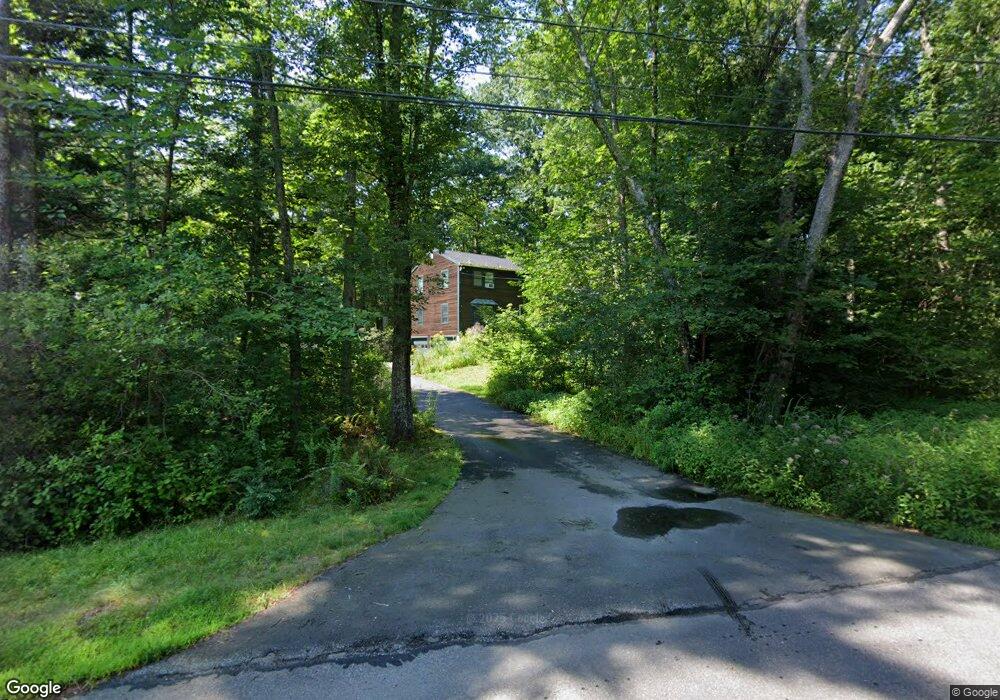
14 Fogg Dr Durham, NH 03824
Estimated Value: $681,000 - $767,000
4
Beds
3
Baths
2,166
Sq Ft
$326/Sq Ft
Est. Value
About This Home
This home is located at 14 Fogg Dr, Durham, NH 03824 and is currently estimated at $705,331, approximately $325 per square foot. 14 Fogg Dr is a home located in Strafford County with nearby schools including Mast Way School, Oyster River Middle School, and Oyster River High School.
Ownership History
Date
Name
Owned For
Owner Type
Purchase Details
Closed on
Jul 26, 2007
Sold by
Crocker Kenneth N and Crocker Sara W
Bought by
Kirkpartick John Luke
Current Estimated Value
Home Financials for this Owner
Home Financials are based on the most recent Mortgage that was taken out on this home.
Original Mortgage
$250,000
Outstanding Balance
$159,256
Interest Rate
6.78%
Mortgage Type
Purchase Money Mortgage
Estimated Equity
$546,075
Purchase Details
Closed on
Aug 18, 1997
Sold by
Hosmer Calvin and Hosmer Cynthia B
Bought by
Crocker Kenneth N and Crocker Sara W
Home Financials for this Owner
Home Financials are based on the most recent Mortgage that was taken out on this home.
Original Mortgage
$147,600
Interest Rate
7.56%
Mortgage Type
Purchase Money Mortgage
Create a Home Valuation Report for This Property
The Home Valuation Report is an in-depth analysis detailing your home's value as well as a comparison with similar homes in the area
Home Values in the Area
Average Home Value in this Area
Purchase History
| Date | Buyer | Sale Price | Title Company |
|---|---|---|---|
| Kirkpartick John Luke | $320,000 | -- | |
| Crocker Kenneth N | $164,000 | -- |
Source: Public Records
Mortgage History
| Date | Status | Borrower | Loan Amount |
|---|---|---|---|
| Open | Crocker Kenneth N | $250,000 | |
| Previous Owner | Crocker Kenneth N | $147,600 |
Source: Public Records
Tax History Compared to Growth
Tax History
| Year | Tax Paid | Tax Assessment Tax Assessment Total Assessment is a certain percentage of the fair market value that is determined by local assessors to be the total taxable value of land and additions on the property. | Land | Improvement |
|---|---|---|---|---|
| 2024 | $9,394 | $462,100 | $181,300 | $280,800 |
| 2023 | $9,464 | $462,100 | $181,300 | $280,800 |
| 2022 | $8,970 | $308,900 | $122,800 | $186,100 |
| 2021 | $8,627 | $309,100 | $123,000 | $186,100 |
| 2020 | $8,571 | $309,100 | $123,000 | $186,100 |
| 2019 | $8,479 | $309,100 | $123,000 | $186,100 |
| 2018 | $8,284 | $309,100 | $123,000 | $186,100 |
| 2017 | $8,677 | $283,200 | $109,600 | $173,600 |
| 2016 | $8,420 | $283,200 | $109,600 | $173,600 |
| 2015 | $8,454 | $283,200 | $109,600 | $173,600 |
| 2014 | $8,643 | $283,200 | $109,600 | $173,600 |
| 2013 | $8,612 | $283,200 | $109,600 | $173,600 |
Source: Public Records
Map
Nearby Homes
- 309 Packers Falls Rd
- 23 Orchard Dr
- 2 Toon Ln
- 275-279 Mast Rd
- 31 Faculty Rd
- 3-7 Jenkins Ct
- 96 Madbury Rd
- 11 Young Dr
- 9 Young Dr
- 14 Young Dr
- 10 Young Dr
- 30 Ffrost Dr
- 7 Beards Landing
- 0 Emerson Rd Unit 10
- 25 Emerson Rd
- 0 Beech Hill Rd Unit 201-02-0-0-0,204-10-
- 15 Allens Ave
- 4 Kelsey Dr
- 1 Mast Rd
- 49 Old Mill Rd