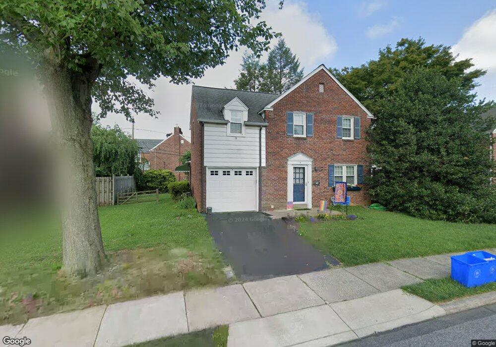
14 Mansfield Rd Lansdowne, PA 19050
Estimated Value: $289,449 - $401,000
3
Beds
1
Bath
1,537
Sq Ft
$226/Sq Ft
Est. Value
About This Home
This home is located at 14 Mansfield Rd, Lansdowne, PA 19050 and is currently estimated at $347,862, approximately $226 per square foot. 14 Mansfield Rd is a home located in Delaware County with nearby schools including Ardmore Avenue School, Penn Wood Middle School, and Penn Wood High School - Cypress Street Campus.
Ownership History
Date
Name
Owned For
Owner Type
Purchase Details
Closed on
Jun 29, 1999
Sold by
Soderberg Jeffrey W
Bought by
Chronister Diane E
Current Estimated Value
Home Financials for this Owner
Home Financials are based on the most recent Mortgage that was taken out on this home.
Original Mortgage
$102,300
Outstanding Balance
$28,270
Interest Rate
7.39%
Estimated Equity
$319,592
Create a Home Valuation Report for This Property
The Home Valuation Report is an in-depth analysis detailing your home's value as well as a comparison with similar homes in the area
Home Values in the Area
Average Home Value in this Area
Purchase History
| Date | Buyer | Sale Price | Title Company |
|---|---|---|---|
| Chronister Diane E | $113,700 | First American Title Ins Co |
Source: Public Records
Mortgage History
| Date | Status | Borrower | Loan Amount |
|---|---|---|---|
| Open | Chronister Diane E | $102,300 |
Source: Public Records
Tax History Compared to Growth
Tax History
| Year | Tax Paid | Tax Assessment Tax Assessment Total Assessment is a certain percentage of the fair market value that is determined by local assessors to be the total taxable value of land and additions on the property. | Land | Improvement |
|---|---|---|---|---|
| 2025 | $6,677 | $162,160 | $54,990 | $107,170 |
| 2024 | $6,677 | $162,160 | $54,990 | $107,170 |
| 2023 | $6,365 | $162,160 | $54,990 | $107,170 |
| 2022 | $6,240 | $162,160 | $54,990 | $107,170 |
| 2021 | $9,371 | $162,160 | $54,990 | $107,170 |
| 2020 | $5,940 | $90,570 | $30,270 | $60,300 |
| 2019 | $5,840 | $90,570 | $30,270 | $60,300 |
| 2018 | $5,740 | $90,570 | $0 | $0 |
| 2017 | $5,613 | $90,570 | $0 | $0 |
| 2016 | $497 | $90,570 | $0 | $0 |
| 2015 | $497 | $90,570 | $0 | $0 |
| 2014 | $497 | $90,570 | $0 | $0 |
Source: Public Records
Map
Nearby Homes
- 108 Gladstone Rd
- 80 W Baltimore Ave Unit B510
- 233 Scottdale Rd
- 257 W Greenwood Ave
- 38 W Stratford Ave
- 182 Berkley Ave
- 185 Berkley Ave
- 29 W Stratford Ave
- 49 Elberon Ave
- 82 Marple Ave
- 271 Drexel Ave
- 223 W Plumstead Ave
- 442 E Baltimore Ave
- 3847 Dennison Ave
- 88 W Plumstead Ave
- 37 E Stratford Ave
- 32 N Wycombe Ave
- 162 Burmont Rd
- 225 Glentay Ave
- 603 Montana Ave
- 18 Mansfield Rd
- 10 Mansfield Rd
- 17 Deforest Rd
- 13 Deforest Rd
- 17 Mansfield Rd
- 15 Mansfield Rd
- 21 Deforest Rd
- 6 Mansfield Rd
- 19 Mansfield Rd
- 13 Mansfield Rd
- 11 Deforest Rd
- 21 Mansfield Rd
- 11 Mansfield Rd
- 25 Deforest Rd
- 26 Mansfield Rd
- 10 Gladstone Rd
- 23 Mansfield Rd
- 9 Mansfield Rd
- 12 Deforest Rd
- 27 Deforest Rd