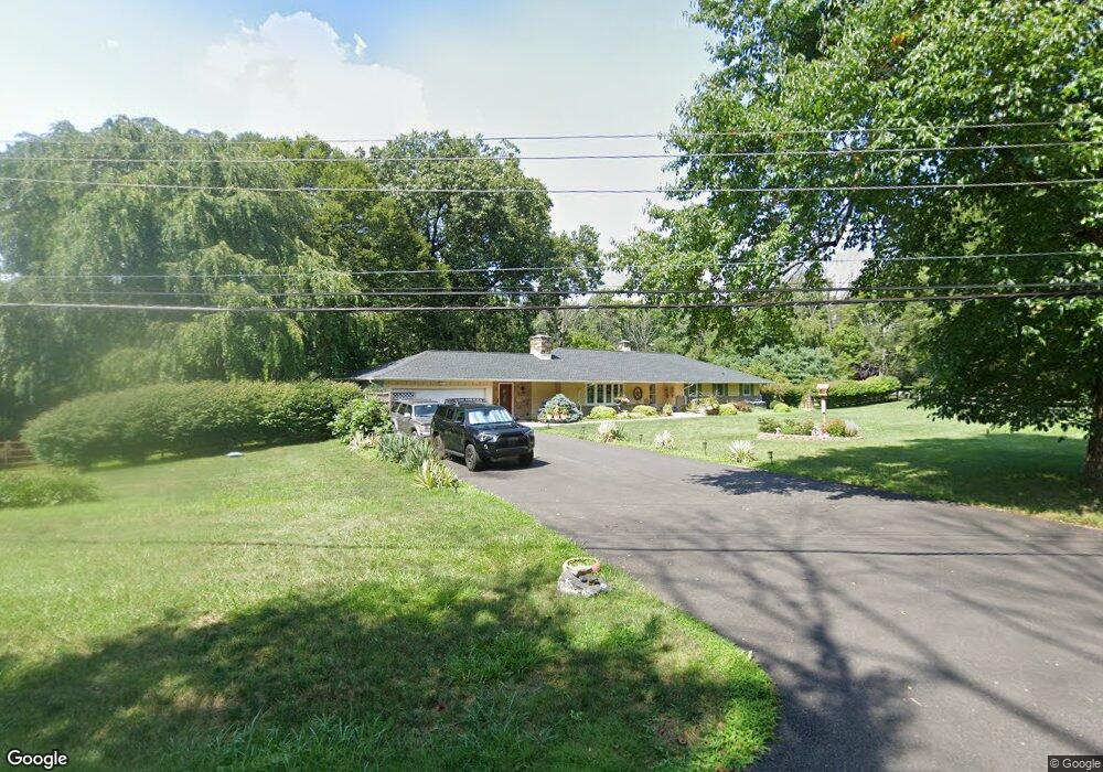
14 Mccarthy Dr Chadds Ford, PA 19317
Estimated Value: $654,000 - $768,000
4
Beds
3
Baths
2,297
Sq Ft
$305/Sq Ft
Est. Value
About This Home
This home is located at 14 Mccarthy Dr, Chadds Ford, PA 19317 and is currently estimated at $701,114, approximately $305 per square foot. 14 Mccarthy Dr is a home located in Chester County with nearby schools including Kennett Middle School, Kennett High School, and Centreville Layton School.
Ownership History
Date
Name
Owned For
Owner Type
Purchase Details
Closed on
Apr 28, 2015
Sold by
Aman John K
Bought by
Aman Catherine
Current Estimated Value
Purchase Details
Closed on
May 2, 2002
Sold by
Duggins Ray B and Peloso Elizabeth L Duggins
Bought by
Burt Brian A
Home Financials for this Owner
Home Financials are based on the most recent Mortgage that was taken out on this home.
Original Mortgage
$228,000
Outstanding Balance
$97,764
Interest Rate
7.15%
Estimated Equity
$603,350
Create a Home Valuation Report for This Property
The Home Valuation Report is an in-depth analysis detailing your home's value as well as a comparison with similar homes in the area
Home Values in the Area
Average Home Value in this Area
Purchase History
| Date | Buyer | Sale Price | Title Company |
|---|---|---|---|
| Aman Catherine | -- | None Available | |
| Burt Brian A | $285,000 | -- |
Source: Public Records
Mortgage History
| Date | Status | Borrower | Loan Amount |
|---|---|---|---|
| Open | Burt Brian A | $228,000 |
Source: Public Records
Tax History Compared to Growth
Tax History
| Year | Tax Paid | Tax Assessment Tax Assessment Total Assessment is a certain percentage of the fair market value that is determined by local assessors to be the total taxable value of land and additions on the property. | Land | Improvement |
|---|---|---|---|---|
| 2025 | $8,939 | $219,210 | $70,870 | $148,340 |
| 2024 | $8,939 | $219,210 | $70,870 | $148,340 |
| 2023 | $8,766 | $219,210 | $70,870 | $148,340 |
| 2022 | $8,532 | $219,210 | $70,870 | $148,340 |
| 2021 | $8,404 | $219,210 | $70,870 | $148,340 |
| 2020 | $8,246 | $219,210 | $70,870 | $148,340 |
| 2019 | $8,136 | $219,210 | $70,870 | $148,340 |
| 2018 | $7,968 | $219,210 | $70,870 | $148,340 |
| 2017 | $7,411 | $219,210 | $70,870 | $148,340 |
| 2016 | -- | $219,210 | $70,870 | $148,340 |
| 2015 | -- | $219,210 | $70,870 | $148,340 |
| 2014 | -- | $219,210 | $70,870 | $148,340 |
Source: Public Records
Map
Nearby Homes
- 101 Burnt Mill Cir
- 101 Burnt Mill Cir Unit 1A
- 101 Burnt Mill Cir Unit 1B
- 239 S Fairville Rd
- 102 Alford Ct
- 6410 Kennett Pike
- 336 Edinburgh Rd Unit 89
- 417 Burnt Mill Rd
- 110 Hannah Ln
- 504 Kennett Pike
- 821 Burrows Run Rd
- 1540 Fairville Rd
- 0 Old Kennett Rd
- 103 Haywood Rd
- 204 Sandy Flash Dr
- 2 Farron Dr
- 470 E Hillendale Rd
- 22 Mount Airy Dr
- 208 Haystack Ln
- 997 Sills Mill Rd
- 16 Mccarthy Dr
- 8 Mccarthy Dr
- 13 Mccarthy Dr
- 12 Mccarthy Dr
- 10 Mccarthy Dr
- 15 Mccarthy Dr
- 18 Mccarthy Dr
- 11 Mccarthy Dr
- 132 Center Mill Rd
- 245 S Fairville Rd
- 130 Center Mill Rd
- 235 S Fairville Rd
- 20 Mccarthy Dr
- 19 Mccarthy Dr
- 243 S Fairville Rd
- 126 Center Mill Rd
- 22 Mccarthy Dr
- 141 Center Mill Rd
- 146 Center Mill Rd
- 227 S Fairville Rd