14 Pearson Dr Dover, NH 03820
Dover Point NeighborhoodEstimated Value: $984,359 - $1,208,000
3
Beds
3
Baths
3,064
Sq Ft
$359/Sq Ft
Est. Value
About This Home
This home is located at 14 Pearson Dr, Dover, NH 03820 and is currently estimated at $1,100,340, approximately $359 per square foot. 14 Pearson Dr is a home located in Strafford County with nearby schools including Garrison School, Dover Middle School, and Dover Senior High School.
Create a Home Valuation Report for This Property
The Home Valuation Report is an in-depth analysis detailing your home's value as well as a comparison with similar homes in the area
Home Values in the Area
Average Home Value in this Area
Tax History
| Year | Tax Paid | Tax Assessment Tax Assessment Total Assessment is a certain percentage of the fair market value that is determined by local assessors to be the total taxable value of land and additions on the property. | Land | Improvement |
|---|---|---|---|---|
| 2024 | $17,934 | $987,000 | $194,100 | $792,900 |
| 2023 | $16,106 | $861,300 | $156,900 | $704,400 |
| 2022 | $15,543 | $783,400 | $148,700 | $634,700 |
| 2021 | $15,003 | $691,400 | $132,200 | $559,200 |
| 2020 | $14,378 | $578,600 | $119,800 | $458,800 |
| 2019 | $13,525 | $536,900 | $109,600 | $427,300 |
| 2018 | $13,280 | $532,900 | $105,600 | $427,300 |
| 2017 | $12,961 | $501,000 | $86,100 | $414,900 |
| 2016 | $12,393 | $471,400 | $84,600 | $386,800 |
| 2015 | $11,969 | $449,800 | $72,500 | $377,300 |
| 2014 | $11,806 | $453,900 | $76,600 | $377,300 |
| 2011 | $10,053 | $400,200 | $72,300 | $327,900 |
Source: Public Records
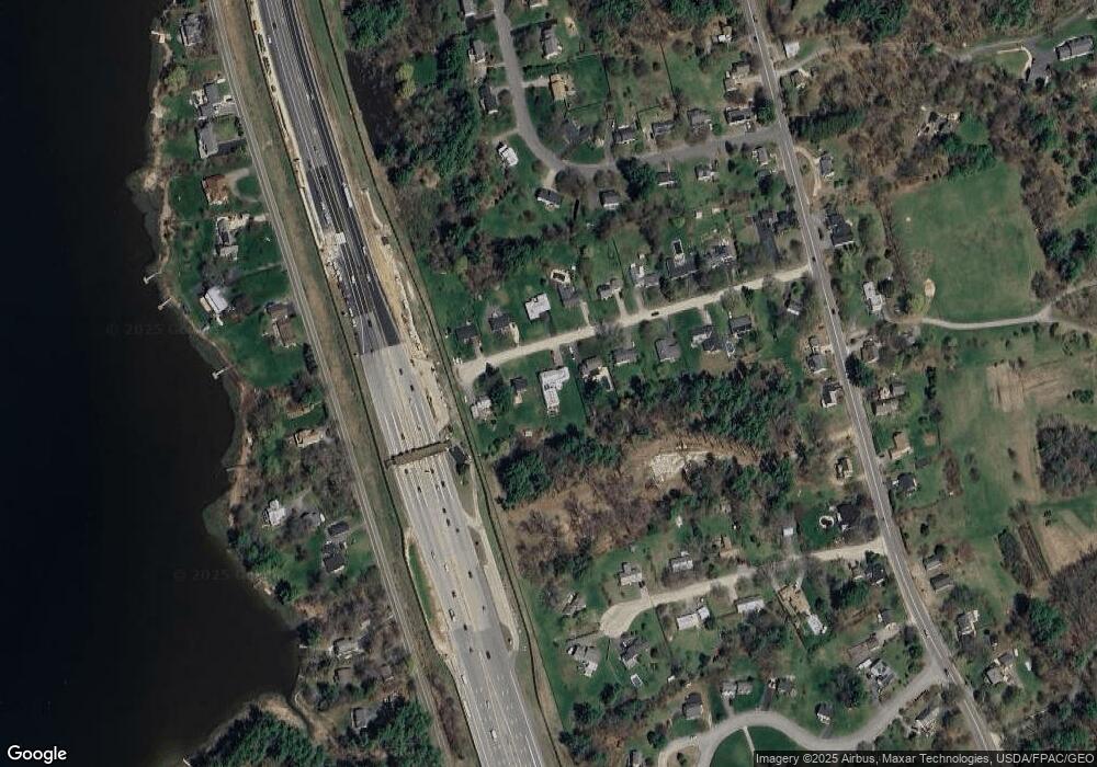
Map
Nearby Homes
- Slip B18 Little Bay
- 21 Clearwater Dr
- 18 Deborah Ln
- 41 Clearwater Dr
- 0 Cote Dr Unit 55B
- 348 Dover Point Rd
- 354 Dover Point Rd
- 18 Little Bay Dr
- 25 Fosters Dr
- 708 River Rd Unit 2
- 708 River Rd Unit 3
- 71 Shipwright Way
- 69 Polly Ann Trailer Park
- 10 Shipwright Way
- 19 Lenox Dr Unit A
- 16 Polly Ann Park
- 1 Greenfield Dr
- Lot 2 Cedar Tbd
- 10 Pasture Hill Dr
- 11 Willey Creek Rd
Your Personal Tour Guide
Ask me questions while you tour the home.