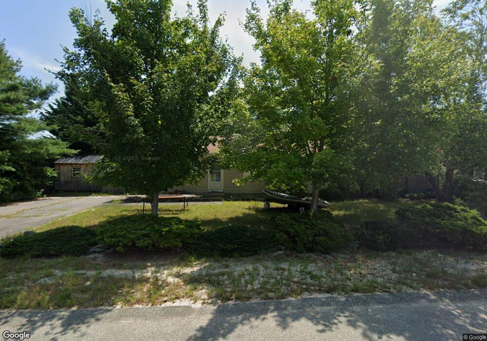
14 Pheasant Ave Wareham, MA 02571
Estimated Value: $311,000 - $415,044
2
Beds
1
Bath
960
Sq Ft
$405/Sq Ft
Est. Value
About This Home
This home is located at 14 Pheasant Ave, Wareham, MA 02571 and is currently estimated at $388,511, approximately $404 per square foot. 14 Pheasant Ave is a home located in Plymouth County.
Ownership History
Date
Name
Owned For
Owner Type
Purchase Details
Closed on
May 31, 2012
Sold by
Harback Harry and Harback Margaret J
Bought by
Harback Christopher L
Current Estimated Value
Home Financials for this Owner
Home Financials are based on the most recent Mortgage that was taken out on this home.
Original Mortgage
$80,000
Outstanding Balance
$54,834
Interest Rate
3.9%
Mortgage Type
New Conventional
Estimated Equity
$333,677
Purchase Details
Closed on
Apr 23, 1993
Sold by
Fhlmc
Bought by
Harback Harry and Harback Margaret J
Purchase Details
Closed on
Sep 4, 1992
Sold by
Lemeshka Dean A
Bought by
Fhlmc
Create a Home Valuation Report for This Property
The Home Valuation Report is an in-depth analysis detailing your home's value as well as a comparison with similar homes in the area
Purchase History
| Date | Buyer | Sale Price | Title Company |
|---|---|---|---|
| Harback Christopher L | $104,000 | -- | |
| Harback Christopher L | $104,000 | -- | |
| Harback Harry | $70,040 | -- | |
| Harback Harry | $70,040 | -- | |
| Fhlmc | $67,500 | -- | |
| Fhlmc | $67,500 | -- |
Source: Public Records
Mortgage History
| Date | Status | Borrower | Loan Amount |
|---|---|---|---|
| Open | Harback Christopher L | $80,000 | |
| Closed | Fhlmc | $80,000 | |
| Previous Owner | Fhlmc | $167,000 | |
| Previous Owner | Fhlmc | $87,000 |
Source: Public Records
Tax History
| Year | Tax Paid | Tax Assessment Tax Assessment Total Assessment is a certain percentage of the fair market value that is determined by local assessors to be the total taxable value of land and additions on the property. | Land | Improvement |
|---|---|---|---|---|
| 2025 | $3,615 | $346,900 | $109,800 | $237,100 |
| 2024 | $3,722 | $331,400 | $85,800 | $245,600 |
| 2023 | $3,338 | $296,500 | $78,000 | $218,500 |
| 2022 | $3,338 | $253,300 | $78,000 | $175,300 |
| 2021 | $3,298 | $245,200 | $78,000 | $167,200 |
| 2020 | $3,074 | $231,800 | $78,000 | $153,800 |
| 2019 | $3,014 | $226,800 | $75,100 | $151,700 |
| 2018 | $2,831 | $207,700 | $75,100 | $132,600 |
| 2017 | $2,611 | $194,100 | $75,100 | $119,000 |
| 2016 | $2,372 | $175,300 | $72,600 | $102,700 |
| 2015 | $2,291 | $175,300 | $72,600 | $102,700 |
| 2014 | $2,165 | $168,500 | $69,000 | $99,500 |
Source: Public Records
Map
Nearby Homes
- 2697 Cranberry Hwy Unit 23
- 2711 Cranberry Hwy
- 156 Sandwich Rd
- 2645 Cranberry Hwy Unit A
- 103 Kimberly Ct
- 55 Minot Ave Unit 55
- 110 Mayflower Ridge Dr
- 10 Oak St
- 2838 Cranberry Hwy
- 437 Main St
- 124 Minot Ave Unit 1
- 0 Charge Pond Rd
- 7 Knowles Ave
- 9 Old Glen Charlie Rd
- 106 Circuit Ave
- 91 Agawam Lake Shore Dr
- 102 Maple Springs Rd
- 3 Hazel St
- 6 Bourne Terrace
- 1 Gibbs Ball Park Rd
- 16 Pheasant Ave
- 10 Partridge Path
- 15 Pheasant Ave
- 13 Pheasant Ave
- 6 Lots Burgess Point Shores
- 0 Beaver Path Unit 20614370
- 0 Beaver Path Unit 70700897
- 0 Minot Ave (Rear) L:1009a Unit 70672788
- 0 Off Hathaway St Unit 70630635
- Lot 7 Sarahbeth Ln
- 6 Partridge Path
- 19 Pheasant Ave
- 20 Pheasant Ave
- 9 Partridge Path
- 4 Partridge Path
- 7 Partridge Path
- 21 Meadowlark Dr
- 19 Meadowlark Dr
- 9 Pheasant Ave
- 21 Pheasant Ave
Your Personal Tour Guide
Ask me questions while you tour the home.