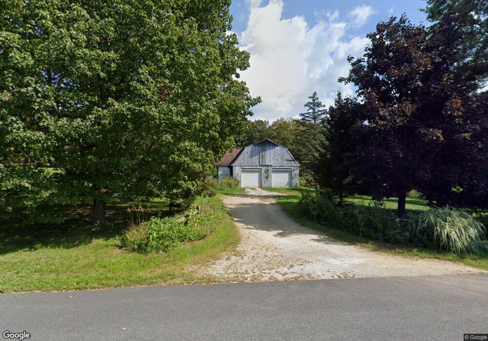
14 Podunk Rd Sturbridge, MA 01566
Estimated Value: $481,300 - $554,000
2
Beds
2
Baths
1,811
Sq Ft
$286/Sq Ft
Est. Value
About This Home
This home is located at 14 Podunk Rd, Sturbridge, MA 01566 and is currently estimated at $517,575, approximately $285 per square foot. 14 Podunk Rd is a home located in Worcester County with nearby schools including Burgess Elementary School, Tantasqua Regional Junior High School, and Tantasqua Regional High School.
Create a Home Valuation Report for This Property
The Home Valuation Report is an in-depth analysis detailing your home's value as well as a comparison with similar homes in the area
Home Values in the Area
Average Home Value in this Area
Tax History
| Year | Tax Paid | Tax Assessment Tax Assessment Total Assessment is a certain percentage of the fair market value that is determined by local assessors to be the total taxable value of land and additions on the property. | Land | Improvement |
|---|---|---|---|---|
| 2025 | $6,832 | $428,900 | $84,600 | $344,300 |
| 2024 | $6,865 | $416,300 | $82,900 | $333,400 |
| 2023 | $6,456 | $357,300 | $72,000 | $285,300 |
| 2022 | $6,208 | $324,200 | $65,000 | $259,200 |
| 2021 | $5,913 | $310,900 | $62,000 | $248,900 |
| 2020 | $5,913 | $310,900 | $62,000 | $248,900 |
| 2019 | $5,621 | $293,500 | $63,700 | $229,800 |
| 2018 | $5,398 | $277,700 | $60,600 | $217,100 |
| 2017 | $5,141 | $265,000 | $58,500 | $206,500 |
| 2016 | $5,240 | $272,800 | $56,700 | $216,100 |
| 2015 | $5,162 | $268,300 | $56,700 | $211,600 |
Source: Public Records
Map
Nearby Homes
- 7 Woodlawn Dr
- 13 Woodlawn Dr
- 74 Hill Rd Unit A
- 29, 31, 33 Ladd Rd
- 35 Ladd Rd
- 2 Sawmill Cir
- 68 - 74 Sturbridge Rd
- 1 Chase Rd
- 208 New Boston Rd
- 6 S Sullivan Rd
- 0 Fiske Hill Rd
- 73 New Boston Rd
- 19 Preserve Way
- 110 Pondview Rd
- 49 Jennings Rd
- 0 Worcester Rd
- Lot 7 Harrington Rd
- 8 Village Green
- 9 Haynes St
- 6 Gillespie Rd
Your Personal Tour Guide
Ask me questions while you tour the home.