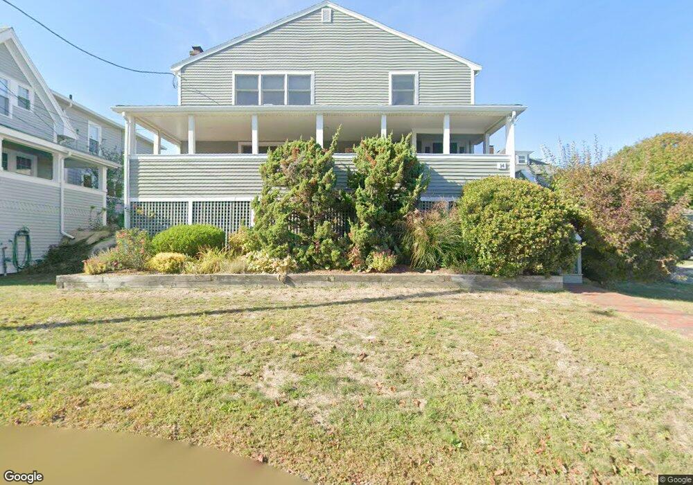
14 Salt Island Rd Gloucester, MA 01930
East Gloucester NeighborhoodEstimated Value: $968,000 - $1,681,000
3
Beds
2
Baths
1,800
Sq Ft
$780/Sq Ft
Est. Value
About This Home
This home is located at 14 Salt Island Rd, Gloucester, MA 01930 and is currently estimated at $1,404,745, approximately $780 per square foot. 14 Salt Island Rd is a home located in Essex County with nearby schools including East Gloucester Elementary School, Ralph B O'maley Middle School, and Gloucester High School.
Ownership History
Date
Name
Owned For
Owner Type
Purchase Details
Closed on
Sep 30, 1996
Sold by
Callard Robert A
Bought by
Maki Bruce W
Current Estimated Value
Home Financials for this Owner
Home Financials are based on the most recent Mortgage that was taken out on this home.
Original Mortgage
$165,000
Outstanding Balance
$14,801
Interest Rate
7.83%
Mortgage Type
Purchase Money Mortgage
Estimated Equity
$1,389,944
Create a Home Valuation Report for This Property
The Home Valuation Report is an in-depth analysis detailing your home's value as well as a comparison with similar homes in the area
Home Values in the Area
Average Home Value in this Area
Purchase History
| Date | Buyer | Sale Price | Title Company |
|---|---|---|---|
| Maki Bruce W | $290,825 | -- |
Source: Public Records
Mortgage History
| Date | Status | Borrower | Loan Amount |
|---|---|---|---|
| Open | Maki Bruce W | $165,000 |
Source: Public Records
Tax History Compared to Growth
Tax History
| Year | Tax Paid | Tax Assessment Tax Assessment Total Assessment is a certain percentage of the fair market value that is determined by local assessors to be the total taxable value of land and additions on the property. | Land | Improvement |
|---|---|---|---|---|
| 2025 | $13,116 | $1,349,400 | $862,300 | $487,100 |
| 2024 | $12,781 | $1,313,600 | $821,200 | $492,400 |
| 2023 | $12,323 | $1,163,600 | $733,200 | $430,400 |
| 2022 | $11,907 | $1,015,100 | $637,800 | $377,300 |
| 2021 | $11,491 | $923,700 | $580,000 | $343,700 |
| 2020 | $11,023 | $894,000 | $546,800 | $347,200 |
| 2019 | $10,888 | $858,000 | $546,800 | $311,200 |
| 2018 | $10,771 | $833,000 | $546,800 | $286,200 |
| 2017 | $10,449 | $792,200 | $520,700 | $271,500 |
| 2016 | $10,047 | $738,200 | $494,100 | $244,100 |
| 2015 | $8,759 | $641,700 | $416,100 | $225,600 |
Source: Public Records
Map
Nearby Homes
- 26 Marina Dr
- 29 Harrison Ave
- 33 Highview Rd
- 10 Amero Ct
- 20 Haskell St
- 9 Rocky Pasture Rd
- 86 E Main St
- 20 Calder St
- 97 E Main St
- 100 E Main St
- 36 Links Rd
- 30 Chapel St Unit B
- 22 Taylor St Unit 1
- 197 E Main St
- 197 E Main St Unit 1
- 197 E Main St Unit 2
- 197 E Main St Unit 1 & 2
- 160 Prospect St Unit 3
- 27 Hodgkins Rd
- 4 Mount Vernon St
- 12 Salt Island Rd
- 4 Brier Neck Rd
- 10 Salt Island Rd
- 1 Brier Neck Rd
- 15 Salt Island Rd
- 8 Salt Island Rd
- 6 Brier Neck Rd
- 13 Salt Island Rd
- 17 Salt Island Rd
- 11 Barberry Way
- 18 Salt Island Rd
- 15 Barberry Way
- 24 Cliff Rd
- 11 Salt Island Rd
- 8 Brier Neck Rd
- 13 Barberry Way
- 19 Salt Island Rd
- 7 Salt Island Rd
- 11 Barberry Way
- 3 Barberry Way