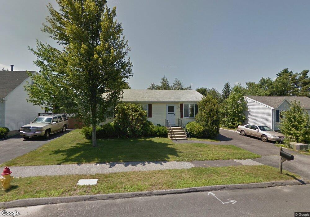
14 Timrod Dr Worcester, MA 01603
Webster Square NeighborhoodEstimated Value: $352,000 - $421,000
3
Beds
2
Baths
960
Sq Ft
$393/Sq Ft
Est. Value
About This Home
This home is located at 14 Timrod Dr, Worcester, MA 01603 and is currently estimated at $376,998, approximately $392 per square foot. 14 Timrod Dr is a home located in Worcester County with nearby schools including Chandler Magnet, Jacob Hiatt Magnet School, and Heard Street Discovery Academy.
Create a Home Valuation Report for This Property
The Home Valuation Report is an in-depth analysis detailing your home's value as well as a comparison with similar homes in the area
Home Values in the Area
Average Home Value in this Area
Tax History
| Year | Tax Paid | Tax Assessment Tax Assessment Total Assessment is a certain percentage of the fair market value that is determined by local assessors to be the total taxable value of land and additions on the property. | Land | Improvement |
|---|---|---|---|---|
| 2025 | $4,570 | $346,500 | $98,500 | $248,000 |
| 2024 | $4,476 | $325,500 | $98,500 | $227,000 |
| 2023 | $4,424 | $308,500 | $85,700 | $222,800 |
| 2022 | $3,958 | $260,200 | $68,600 | $191,600 |
| 2021 | $3,852 | $236,600 | $54,900 | $181,700 |
| 2020 | $3,699 | $217,600 | $54,500 | $163,100 |
| 2019 | $3,470 | $192,800 | $47,600 | $145,200 |
| 2018 | $3,372 | $178,300 | $47,600 | $130,700 |
| 2017 | $3,396 | $176,700 | $47,600 | $129,100 |
| 2016 | $3,345 | $162,300 | $34,000 | $128,300 |
| 2015 | $3,257 | $162,300 | $34,000 | $128,300 |
| 2014 | $3,066 | $156,900 | $34,000 | $122,900 |
Source: Public Records
Map
Nearby Homes
- 23B Timrod Dr
- 11 Timrod Dr
- 128 Wildwood Ave
- 76 Parsons Hill Dr Unit A
- 32 Goddard Memorial Dr
- 13 Merchant St
- 34 Scandinavia Ave
- 25 Wyola Dr
- 57 1st St
- 1511 Main St Unit C405
- 26 Sylvan St
- 55 Grandview Ave
- 31 B Gates Rd Unit 22R
- 103 Henshaw St
- 35 Genessee St Unit E
- 22 Outlook Dr
- 2 Montague St
- 5 Swan Ave
- 23 Lakewood St
- 22 Lanark St
Your Personal Tour Guide
Ask me questions while you tour the home.