14 Watson Shore Rd Moultonborough, NH 03254
Estimated Value: $1,189,000 - $2,725,962
3
Beds
2
Baths
1,210
Sq Ft
$1,793/Sq Ft
Est. Value
About This Home
This home is located at 14 Watson Shore Rd, Moultonborough, NH 03254 and is currently estimated at $2,169,491, approximately $1,792 per square foot. 14 Watson Shore Rd is a home located in Carroll County with nearby schools including Moultonborough Central School and Moultonborough Academy High School.
Ownership History
Date
Name
Owned For
Owner Type
Purchase Details
Closed on
Sep 25, 1998
Sold by
Wallace Thomas M and Wallace Deborah M
Bought by
Signor Bradford S and Signor Cheryl A
Current Estimated Value
Home Financials for this Owner
Home Financials are based on the most recent Mortgage that was taken out on this home.
Original Mortgage
$216,000
Outstanding Balance
$47,169
Interest Rate
6.87%
Mortgage Type
Purchase Money Mortgage
Estimated Equity
$2,122,322
Create a Home Valuation Report for This Property
The Home Valuation Report is an in-depth analysis detailing your home's value as well as a comparison with similar homes in the area
Home Values in the Area
Average Home Value in this Area
Purchase History
| Date | Buyer | Sale Price | Title Company |
|---|---|---|---|
| Signor Bradford S | $270,000 | -- |
Source: Public Records
Mortgage History
| Date | Status | Borrower | Loan Amount |
|---|---|---|---|
| Open | Signor Bradford S | $216,000 |
Source: Public Records
Tax History Compared to Growth
Tax History
| Year | Tax Paid | Tax Assessment Tax Assessment Total Assessment is a certain percentage of the fair market value that is determined by local assessors to be the total taxable value of land and additions on the property. | Land | Improvement |
|---|---|---|---|---|
| 2024 | $10,907 | $1,930,400 | $1,201,600 | $728,800 |
| 2023 | $9,960 | $1,747,300 | $1,072,900 | $674,400 |
| 2022 | $7,403 | $1,548,700 | $935,100 | $613,600 |
| 2021 | $8,502 | $1,218,100 | $715,200 | $502,900 |
| 2020 | $2,323 | $1,114,700 | $643,700 | $471,000 |
| 2019 | $2,343 | $955,500 | $625,200 | $330,300 |
| 2018 | $2,586 | $790,900 | $535,900 | $255,000 |
| 2017 | $6,364 | $774,200 | $535,900 | $238,300 |
| 2016 | $2,420 | $518,000 | $518,000 | $0 |
| 2015 | $5,475 | $607,700 | $518,000 | $89,700 |
| 2014 | $5,628 | $635,200 | $545,500 | $89,700 |
| 2013 | $5,520 | $635,200 | $545,500 | $89,700 |
Source: Public Records
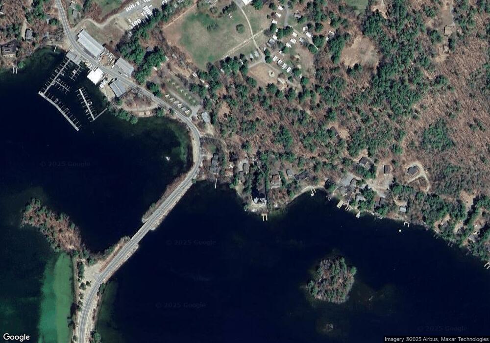
Map
Nearby Homes
- 00 Moultonboro Neck Rd Unit 2
- 00 Moultonboro Neck Rd
- 16 Long Island Rd
- 00 Beede Rd
- 65 Beede Rd
- 10 Woodridge Rd
- 109 Leaward Shores Rd
- 167 Long Island Rd
- 42 High Ridge Rd
- 130 W Point Rd
- 19 Alderberry Ln
- 152 Wildwood Dr
- 14 Island View Dr
- 00 Rivers Rd
- 9 Starboard Ln Unit 1
- 31 Rays Way
- 47 Pot O Beans Rd
- 7 Flint Dr
- 5 Ferry Rd
- 19 Wawbeek Rd Unit one
- 10 Watson Shore Rd
- 18 Watson Shore Rd
- 20 Watson Shore Rd
- 51 Watson Shore Rd
- 5 Watson Shore Rd
- 00 Moultonboro Neck Rd Unit 17
- 00 Moultonborough Neck Unit 17
- 0 Moultonboro Neck Rd
- 0 Moultonboro Neck Rd Unit 4158801
- 0 Moultonboro Neck Rd Unit 4028181
- 00 Moultonboro Neck Rd Unit Lot 2.1
- 22 Watson Shore Rd
- 25 Long Island Rd Unit 25
- 38 Watson Shore Rd
- 3 16 Long Island Rd Unit 3
- 25 16 Long Island Rd Unit 25
- 37 Watson Shore Rd
- 42 Watson Shore Rd
- 27 Long Island Rd
- 48 Watson Shore Rd