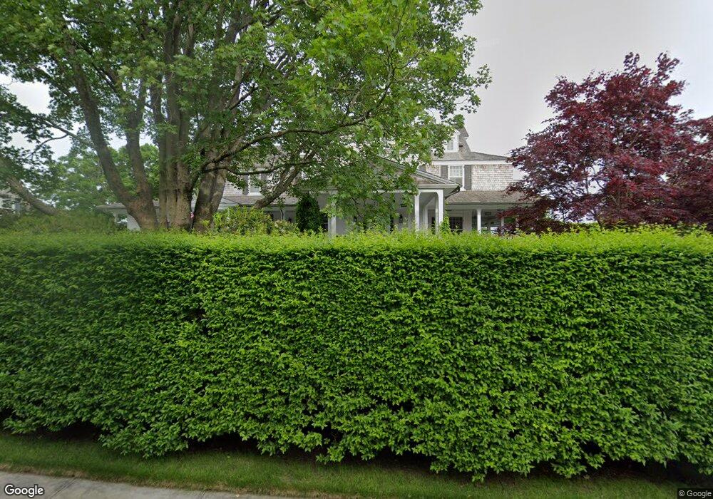
14 Westerly Rd Westerly, RI 02891
Estimated Value: $4,431,000 - $8,630,000
4
Beds
3
Baths
2,158
Sq Ft
$3,342/Sq Ft
Est. Value
About This Home
This home is located at 14 Westerly Rd, Westerly, RI 02891 and is currently estimated at $7,211,505, approximately $3,341 per square foot. 14 Westerly Rd is a home located in Washington County with nearby schools including Westerly High School.
Ownership History
Date
Name
Owned For
Owner Type
Purchase Details
Closed on
Nov 21, 2002
Sold by
Jamieson Douglas R and Jamieson Jean Marie
Bought by
Gorab Eugene A and Gorab Suzanne
Current Estimated Value
Home Financials for this Owner
Home Financials are based on the most recent Mortgage that was taken out on this home.
Original Mortgage
$2,000,000
Interest Rate
6.07%
Purchase Details
Closed on
Jul 3, 1996
Sold by
Mellick Orville W
Bought by
Jamieson Dougals and Jamieson Jean
Home Financials for this Owner
Home Financials are based on the most recent Mortgage that was taken out on this home.
Original Mortgage
$660,000
Interest Rate
7.98%
Create a Home Valuation Report for This Property
The Home Valuation Report is an in-depth analysis detailing your home's value as well as a comparison with similar homes in the area
Home Values in the Area
Average Home Value in this Area
Purchase History
| Date | Buyer | Sale Price | Title Company |
|---|---|---|---|
| Gorab Eugene A | $3,200,000 | -- | |
| Jamieson Dougals | $825,000 | -- |
Source: Public Records
Mortgage History
| Date | Status | Borrower | Loan Amount |
|---|---|---|---|
| Open | Jamieson Dougals | $4,280,000 | |
| Closed | Jamieson Dougals | $3,000,000 | |
| Closed | Jamieson Dougals | $2,000,000 | |
| Previous Owner | Jamieson Dougals | $660,000 |
Source: Public Records
Tax History
| Year | Tax Paid | Tax Assessment Tax Assessment Total Assessment is a certain percentage of the fair market value that is determined by local assessors to be the total taxable value of land and additions on the property. | Land | Improvement |
|---|---|---|---|---|
| 2025 | $73,057 | $10,275,300 | $6,676,400 | $3,598,900 |
| 2024 | $65,299 | $6,656,400 | $4,373,900 | $2,282,500 |
| 2023 | $64,035 | $6,656,400 | $4,373,900 | $2,282,500 |
| 2022 | $63,635 | $6,656,400 | $4,373,900 | $2,282,500 |
| 2021 | $70,095 | $6,084,600 | $3,802,100 | $2,282,500 |
| 2020 | $68,817 | $6,084,600 | $3,802,100 | $2,282,500 |
| 2019 | $68,148 | $6,084,600 | $3,802,100 | $2,282,500 |
| 2018 | $66,311 | $5,581,700 | $3,802,100 | $1,779,600 |
| 2017 | $64,692 | $5,581,700 | $3,802,100 | $1,779,600 |
| 2016 | $60,748 | $5,201,000 | $3,802,100 | $1,398,900 |
| 2015 | $56,173 | $5,191,600 | $3,521,000 | $1,670,600 |
| 2014 | $55,239 | $5,191,600 | $3,521,000 | $1,670,600 |
Source: Public Records
Map
Nearby Homes
- 1 Bluff Ave Unit 4-1
- 20 Browning Rd
- 301 Osbrook Point
- 9 Champlin Dr
- 4 Quail Run
- 60 Avondale Rd
- 4 Shore Rd
- 417 River Rd
- 27 Benson Ave
- 10 Tristam St
- 16 Green Ave
- 0 Green Ave
- 45 Summertime Cir
- 23 Summertime Cir
- 22 Summertime Cir
- 38 Summertime Cir
- 25 Summertime Cir
- 39 Summertime Cir
- 14 Summertime Cir
- 18 Timothy Dr
Your Personal Tour Guide
Ask me questions while you tour the home.