14 Whitesell Rd Moultonborough, NH 03254
Estimated Value: $641,443 - $868,000
3
Beds
2
Baths
1,733
Sq Ft
$441/Sq Ft
Est. Value
About This Home
This home is located at 14 Whitesell Rd, Moultonborough, NH 03254 and is currently estimated at $763,861, approximately $440 per square foot. 14 Whitesell Rd is a home with nearby schools including Moultonborough Central School and Moultonborough Academy High School.
Ownership History
Date
Name
Owned For
Owner Type
Purchase Details
Closed on
Aug 6, 2015
Sold by
Hall Richard R and Hall Kathleen A
Bought by
Schutzbank Eric and Creem-Schutzbank Jennifer
Current Estimated Value
Purchase Details
Closed on
May 22, 2007
Sold by
Porter Carol A
Bought by
Hall Richard R and Hall Kathleen A
Create a Home Valuation Report for This Property
The Home Valuation Report is an in-depth analysis detailing your home's value as well as a comparison with similar homes in the area
Home Values in the Area
Average Home Value in this Area
Purchase History
| Date | Buyer | Sale Price | Title Company |
|---|---|---|---|
| Schutzbank Eric | $295,000 | -- | |
| Hall Richard R | $295,000 | -- |
Source: Public Records
Tax History Compared to Growth
Tax History
| Year | Tax Paid | Tax Assessment Tax Assessment Total Assessment is a certain percentage of the fair market value that is determined by local assessors to be the total taxable value of land and additions on the property. | Land | Improvement |
|---|---|---|---|---|
| 2024 | $2,979 | $527,300 | $302,200 | $225,100 |
| 2023 | $2,571 | $451,100 | $231,200 | $219,900 |
| 2022 | $1,873 | $391,900 | $208,200 | $183,700 |
| 2021 | $2,280 | $326,700 | $170,200 | $156,500 |
| 2020 | $2,175 | $305,000 | $156,400 | $148,600 |
| 2019 | $2,101 | $293,800 | $156,300 | $137,500 |
| 2018 | $2,157 | $279,400 | $144,700 | $134,700 |
| 2017 | $2,274 | $276,600 | $149,000 | $127,600 |
| 2016 | $2,344 | $268,200 | $149,000 | $119,200 |
| 2015 | $2,328 | $258,400 | $149,000 | $109,400 |
| 2014 | $2,188 | $246,900 | $149,000 | $97,900 |
| 2013 | $2,021 | $232,600 | $149,000 | $83,600 |
Source: Public Records
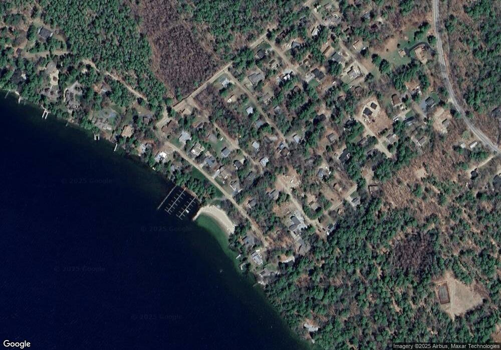
Map
Nearby Homes
- 16 Long Island Rd
- 31 Rays Way
- 00 Beede Rd
- 10 Woodridge Rd
- 167 Long Island Rd
- 5 Ferry Rd
- 00 Rivers Rd
- 9 Starboard Ln Unit 1
- 14 Island View Dr
- 29 Kona Farm Rd
- 27 First Point Rd
- 21 Orton Ln
- 7 Flint Dr
- 11 Geery Ln
- 30 Leopards Leap
- 22 Tiger Trail
- 4 Mill Pond Rd
- 9 Lady Slipper Ln
- 203 Krainewood Dr
- 7 Lady Slipper Ln
- 12 Whitesell Rd
- 17 Whitesell Rd
- 107 Far Echo Rd
- 103 Far Echo Rd
- 111 Far Echo Rd
- 11 Blue Jay Ln
- 15 Whitesell Rd
- 10 Whitesell Rd
- 12 Spinnaker Dr
- 14 Spinnaker Dr
- 99 Far Echo Rd
- 0 Whitesell Unit 4185995
- 8 Whitesell Rd
- 119 Far Echo Rd
- 10 Spinnaker Dr
- 93 Far Echo Rd
- 9 Partridge Ln
- 133 Far Echo Rd
- 17 Spinnaker Dr
- 8 Spinnaker Dr