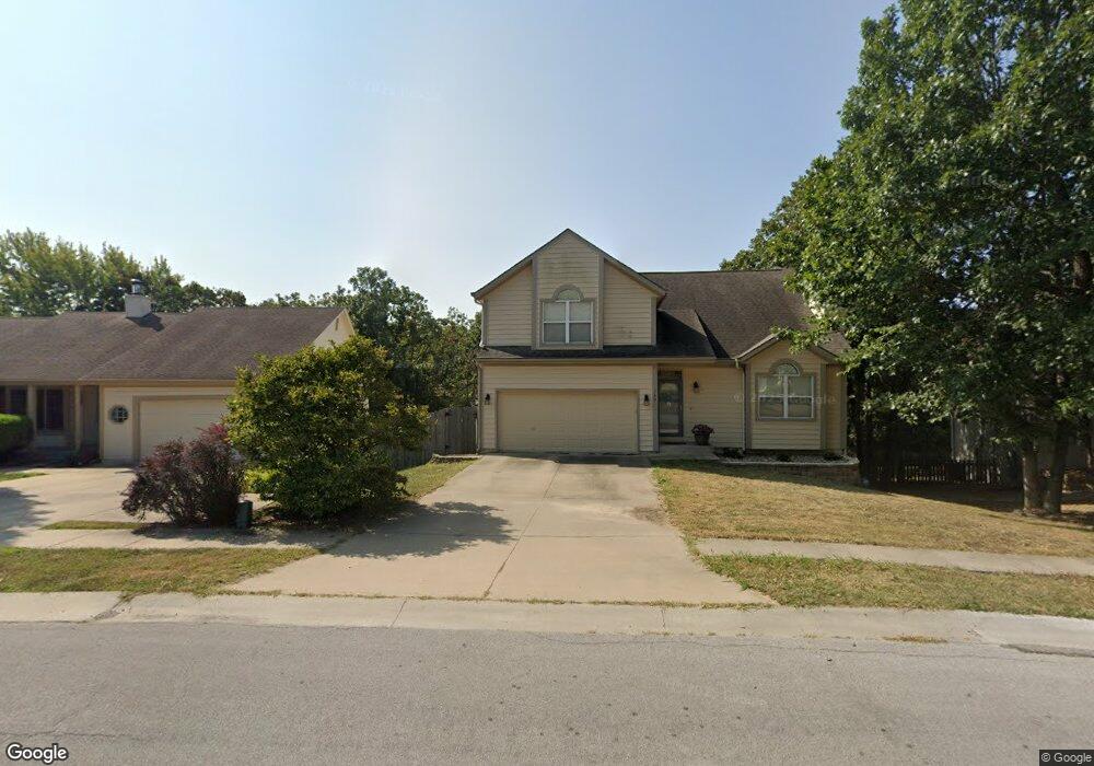
140 NW Whitlock Dr Lees Summit, MO 64081
Estimated Value: $371,000 - $472,000
3
Beds
3
Baths
2,321
Sq Ft
$179/Sq Ft
Est. Value
About This Home
This home is located at 140 NW Whitlock Dr, Lees Summit, MO 64081 and is currently estimated at $414,700, approximately $178 per square foot. 140 NW Whitlock Dr is a home located in Jackson County with nearby schools including Cedar Creek Elementary School, Pleasant Lea Middle School, and Lee's Summit Senior High School.
Ownership History
Date
Name
Owned For
Owner Type
Purchase Details
Closed on
Nov 4, 2008
Sold by
Deutsche Bank National Trust Company
Bought by
Williams William E and Williams Gayle M
Current Estimated Value
Home Financials for this Owner
Home Financials are based on the most recent Mortgage that was taken out on this home.
Original Mortgage
$130,150
Outstanding Balance
$85,010
Interest Rate
5.98%
Mortgage Type
Purchase Money Mortgage
Estimated Equity
$329,690
Purchase Details
Closed on
Feb 26, 2008
Sold by
Martin Ronald L and Khan Mukhtar A
Bought by
Deutsche Bank National Trust Co and Securitized Asset Backed Receivables Llc
Purchase Details
Closed on
Aug 2, 2007
Sold by
Martin Ronald L and Khan Mukhtar A
Bought by
Martin Ronald L
Purchase Details
Closed on
Jul 18, 2006
Sold by
Martin Ronald L
Bought by
Martin Ronald L and Khan Mukhtar A
Create a Home Valuation Report for This Property
The Home Valuation Report is an in-depth analysis detailing your home's value as well as a comparison with similar homes in the area
Home Values in the Area
Average Home Value in this Area
Purchase History
| Date | Buyer | Sale Price | Title Company |
|---|---|---|---|
| Williams William E | -- | Mokan Title Services Llc | |
| Deutsche Bank National Trust Co | $133,939 | Mo Kan Title Services Inc | |
| Martin Ronald L | -- | None Available | |
| Martin Ronald L | -- | None Available |
Source: Public Records
Mortgage History
| Date | Status | Borrower | Loan Amount |
|---|---|---|---|
| Open | Williams William E | $130,150 |
Source: Public Records
Tax History
| Year | Tax Paid | Tax Assessment Tax Assessment Total Assessment is a certain percentage of the fair market value that is determined by local assessors to be the total taxable value of land and additions on the property. | Land | Improvement |
|---|---|---|---|---|
| 2025 | $3,704 | $54,276 | $9,960 | $44,316 |
| 2024 | $4,093 | $51,300 | $7,600 | $43,700 |
| 2023 | $4,093 | $57,102 | $7,121 | $49,981 |
| 2022 | $3,313 | $41,040 | $4,079 | $36,961 |
| 2021 | $3,382 | $41,040 | $4,079 | $36,961 |
| 2020 | $3,252 | $39,090 | $4,079 | $35,011 |
| 2019 | $3,164 | $39,090 | $4,079 | $35,011 |
| 2018 | $1,010,198 | $34,020 | $3,550 | $30,470 |
| 2016 | $2,607 | $29,583 | $3,420 | $26,163 |
Source: Public Records
Map
Nearby Homes
- 209 NW Cody Dr
- 248 SW Winterpark Cir
- 2214 NW Killarney Ln
- 2127 NW Killarney Ln
- 2123 NW Killarney Ln
- 2032 SW British Dr
- 2090 NW O'Brien Rd
- 2086 NW O'Brien Rd
- 2070 NW O'Brien Rd
- 2114 NW Killarney Ln
- 209 SW Pryor Rd
- 433 NW Kaylea Ct
- 2122 NW Ashurst Dr
- 129 NW Morton Dr
- 2110 NW Ashurst Dr
- 334 NW Ambersham Dr
- 130 NW Ambersham Dr
- 1923 SW 5th St
- 1905 SW 3rd St
- 2635 NW Ashurst Ln
- 136 NW Whitlock Dr
- 144 NW Whitlock Dr
- 132 NW Whitlock Dr
- 137 NW Whitlock Dr
- 141 NW Whitlock Dr
- 128 NW Whitlock Dr
- 148 NW Whitlock Dr
- 133 NW Whitlock Dr
- 152 NW Whitlock Dr
- 129 NW Whitlock Dr
- 124 NW Whitlock Dr
- 101 NW Cody Dr
- 125 NW Whitlock Dr
- 105 NW Cody Dr
- 204 NW Whitlock Dr
- 116 NW Whitlock Dr
- 104 NW Cody Dr
- 121 NW Whitlock Dr
- 208 NW Whitlock Dr
- 112 NW Whitlock Dr
Your Personal Tour Guide
Ask me questions while you tour the home.