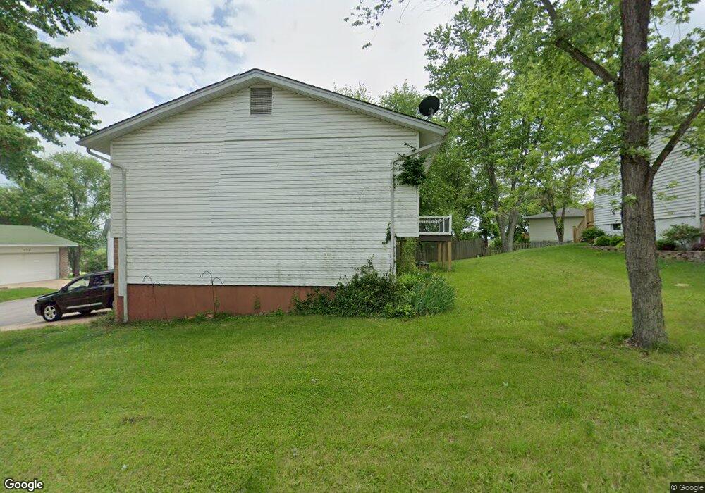
140 Shaw Dr Eureka, MO 63025
Estimated Value: $261,258 - $310,000
3
Beds
2
Baths
1,232
Sq Ft
$234/Sq Ft
Est. Value
About This Home
This home is located at 140 Shaw Dr, Eureka, MO 63025 and is currently estimated at $288,065, approximately $233 per square foot. 140 Shaw Dr is a home located in St. Louis County with nearby schools including Eureka Elementary School, Lasalle Springs Middle School, and Eureka Senior High School.
Ownership History
Date
Name
Owned For
Owner Type
Purchase Details
Closed on
Jun 5, 2018
Sold by
Sparks Judith Carol
Bought by
Sparks Judith C and Judith C Sparks Revocable Trust
Current Estimated Value
Purchase Details
Closed on
Nov 14, 2009
Sold by
Sparks William H and Sparks Judith
Bought by
Sparks William H and Sparks Judith
Purchase Details
Closed on
Nov 9, 2009
Sold by
Sparks Robert Allan and Sparks Gail A
Bought by
Sparks William H and Sparks Judith
Purchase Details
Closed on
Oct 17, 2009
Sold by
Cunningham Jerry A and Cunningham Mary Ann
Bought by
Sparks William H and Sparks Judith
Purchase Details
Closed on
Aug 24, 2009
Sold by
Sparks Robert Allan and Sparks Marvin Henderson
Bought by
Sparks Robert Allan
Create a Home Valuation Report for This Property
The Home Valuation Report is an in-depth analysis detailing your home's value as well as a comparison with similar homes in the area
Home Values in the Area
Average Home Value in this Area
Purchase History
| Date | Buyer | Sale Price | Title Company |
|---|---|---|---|
| Sparks Judith C | -- | None Available | |
| Sparks William H | -- | None Available | |
| Sparks William H | $46,666 | None Available | |
| Sparks William H | $46,666 | None Available | |
| Sparks Robert Allan | -- | None Available | |
| Cunningham Mary Ann | -- | None Available | |
| Sparks William H | -- | None Available |
Source: Public Records
Tax History
| Year | Tax Paid | Tax Assessment Tax Assessment Total Assessment is a certain percentage of the fair market value that is determined by local assessors to be the total taxable value of land and additions on the property. | Land | Improvement |
|---|---|---|---|---|
| 2025 | $3,256 | $46,720 | $15,730 | $30,990 |
| 2024 | $3,256 | $43,610 | $13,760 | $29,850 |
| 2023 | $3,259 | $43,610 | $13,760 | $29,850 |
| 2022 | $2,797 | $34,830 | $13,760 | $21,070 |
| 2021 | $2,777 | $34,830 | $13,760 | $21,070 |
| 2020 | $2,730 | $32,740 | $12,520 | $20,220 |
| 2019 | $2,738 | $32,740 | $12,520 | $20,220 |
| 2018 | $2,287 | $25,800 | $7,730 | $18,070 |
| 2017 | $2,202 | $25,800 | $7,730 | $18,070 |
| 2016 | $2,369 | $26,680 | $5,800 | $20,880 |
Source: Public Records
Map
Nearby Homes
- 15 Rockwood Place Ct
- 3 Leona Ln
- 637 N Virginia Ave
- 160 Hunters Run Ct
- 897 Top Notch Ln
- 17114 Elm Trail Dr
- 944 Emerald Oaks Ct
- 17134 Elm Trail Dr
- 917 Emerald Oaks Ct
- 125 Towne Square Ct Unit 4E
- 118 Towne Square Ct Unit D4
- 4606 Hickory Ridge View Ct
- 17347 Hilltop Ridge Dr
- 17457 Wyman Ridge Dr
- 16 Rockwood Forest Glen
- 756 Brewster Rd
- 5315 Shawnee View Ct
- 744 Forby Rd
- 412 Parkview Ln
- 17498 Wyman Ridge Dr
Your Personal Tour Guide
Ask me questions while you tour the home.