1400 Carmichael Rd Queenstown, MD 21658
Estimated Value: $650,389 - $820,000
--
Bed
2
Baths
2,010
Sq Ft
$355/Sq Ft
Est. Value
About This Home
This home is located at 1400 Carmichael Rd, Queenstown, MD 21658 and is currently estimated at $714,130, approximately $355 per square foot. 1400 Carmichael Rd is a home located in Queen Anne's County with nearby schools including Centreville Elementary School, Kennard Elementary School, and Centreville Middle School.
Ownership History
Date
Name
Owned For
Owner Type
Purchase Details
Closed on
Feb 7, 2006
Sold by
Miles Southey and Miles Marianne
Bought by
Miles Southey F and Trustees
Current Estimated Value
Purchase Details
Closed on
Jan 17, 2006
Sold by
Miles Southey and Miles Marianne
Bought by
Miles Southey F and Trustees
Purchase Details
Closed on
Feb 11, 2005
Sold by
Miles Southey F V V
Bought by
Miles Southey and Miles Marianne
Purchase Details
Closed on
Feb 23, 2000
Sold by
Morris John F and Morris Jennifer T
Bought by
Miles Southey F V V and Miles Southey F Marianne
Create a Home Valuation Report for This Property
The Home Valuation Report is an in-depth analysis detailing your home's value as well as a comparison with similar homes in the area
Home Values in the Area
Average Home Value in this Area
Purchase History
| Date | Buyer | Sale Price | Title Company |
|---|---|---|---|
| Miles Southey F | -- | -- | |
| Miles Southey F | -- | -- | |
| Miles Southey | -- | -- | |
| Miles Southey F V V | $295,900 | -- |
Source: Public Records
Tax History Compared to Growth
Tax History
| Year | Tax Paid | Tax Assessment Tax Assessment Total Assessment is a certain percentage of the fair market value that is determined by local assessors to be the total taxable value of land and additions on the property. | Land | Improvement |
|---|---|---|---|---|
| 2025 | $4,683 | $490,767 | $0 | $0 |
| 2024 | $4,442 | $465,200 | $167,000 | $298,200 |
| 2023 | $4,403 | $461,067 | $0 | $0 |
| 2022 | $4,364 | $456,933 | $0 | $0 |
| 2021 | $4,388 | $452,800 | $157,000 | $295,800 |
| 2020 | $4,388 | $451,233 | $0 | $0 |
| 2019 | $4,373 | $449,667 | $0 | $0 |
| 2018 | $4,353 | $447,600 | $156,500 | $291,100 |
| 2017 | $4,235 | $435,300 | $0 | $0 |
| 2016 | -- | $423,000 | $0 | $0 |
| 2015 | $1,927 | $410,700 | $0 | $0 |
| 2014 | $1,927 | $410,700 | $0 | $0 |
Source: Public Records
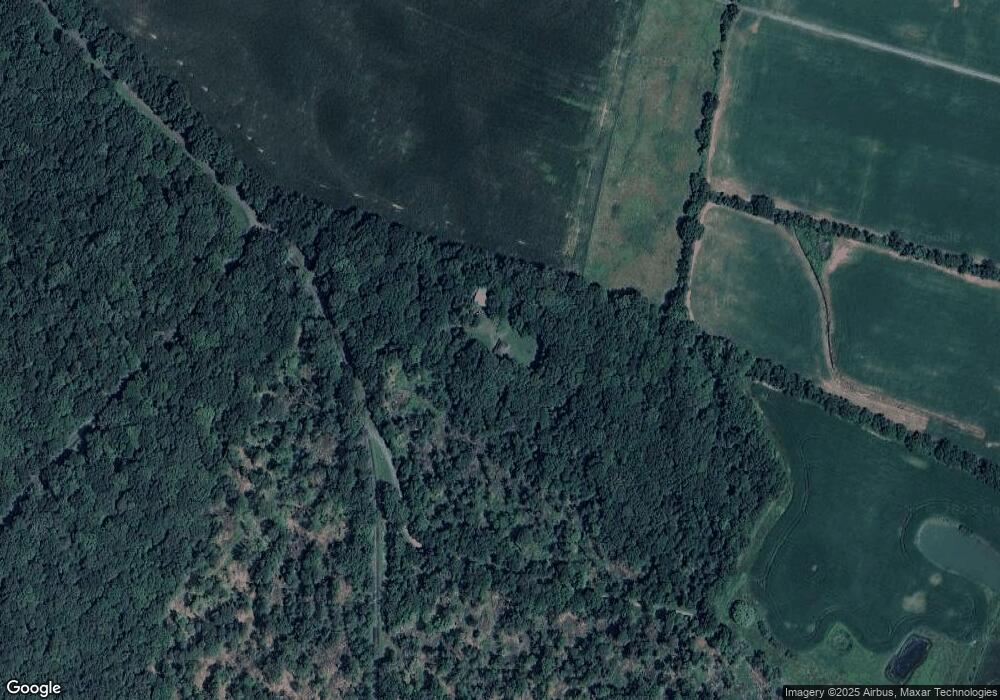
Map
Nearby Homes
- 144 River Run
- 235 Wye Knot Ct
- 224 Wye Knot Ct
- 1150 Cheston Ln
- 111 Mt Mills Ln
- 915 Sportsman Neck Rd
- 6107 Ocean Gateway
- 2006 Bennett Point Rd
- 100 Marlborough Rd
- 13543 Rustling Oaks Dr
- 13473 Blackberry Ln
- 0 Grasonville Cemetery Rd
- 13474 Rustling Oaks Dr
- 1326 Perrys Corner Rd
- 115 Masters Way
- 405 Cove Rd
- 618 Pigpen Point Rd
- 149 Sawmill Ln
- 155 Sawmill Ln
- 149,141,155 Sawmill Ln
- 0 Cheston Ln Unit 1003916838
- 1121 Carmichael Rd
- 1315 Carmichael Rd
- 1305 Carmichael Rd
- 1312 Carmichael Rd
- 1300 Carmichael Rd
- 6925 Ocean Gateway
- 4202 Main St
- 500 Windfall Farm Ln
- 1800 Carmichael Rd
- 1110 Carmichael Rd
- 100 Overlook Dr
- 104 Overlook Dr
- 108 Overlook Dr
- 112 Overlook Dr
- 101 Overlook Dr
- 105 Overlook Dr
- 139 Cheston Ln
- 116 Overlook Dr
- 120 Overlook Dr