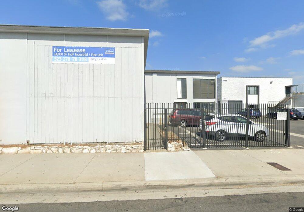
14009 Crenshaw Blvd Unit A Hawthorne, CA 90250
Estimated Value: $2,835,538
--
Bed
--
Bath
15,690
Sq Ft
$181/Sq Ft
Est. Value
About This Home
This home is located at 14009 Crenshaw Blvd Unit A, Hawthorne, CA 90250 and is currently estimated at $2,835,538, approximately $180 per square foot. 14009 Crenshaw Blvd Unit A is a home located in Los Angeles County with nearby schools including Zela Davis Elementary School, Bud Carson Middle School, and Leuzinger High School.
Ownership History
Date
Name
Owned For
Owner Type
Purchase Details
Closed on
Nov 24, 2020
Sold by
Leonard Linsay
Bought by
On Crenshaw Llc
Current Estimated Value
Purchase Details
Closed on
Feb 10, 2011
Sold by
Wolf Dolores S and Kenneth & Dolores Wolf Trust
Bought by
Wolf Dolores S and Kenneth & Dolores Wolf Trust T
Create a Home Valuation Report for This Property
The Home Valuation Report is an in-depth analysis detailing your home's value as well as a comparison with similar homes in the area
Home Values in the Area
Average Home Value in this Area
Purchase History
| Date | Buyer | Sale Price | Title Company |
|---|---|---|---|
| On Crenshaw Llc | $2,350,000 | Chicago Title Company | |
| Wolf Dolores S | -- | None Available |
Source: Public Records
Tax History Compared to Growth
Tax History
| Year | Tax Paid | Tax Assessment Tax Assessment Total Assessment is a certain percentage of the fair market value that is determined by local assessors to be the total taxable value of land and additions on the property. | Land | Improvement |
|---|---|---|---|---|
| 2025 | $35,715 | $2,543,714 | $1,894,256 | $649,458 |
| 2024 | $35,715 | $2,493,838 | $1,857,114 | $636,724 |
| 2023 | $34,532 | $2,444,940 | $1,820,700 | $624,240 |
| 2022 | $34,987 | $2,397,000 | $1,785,000 | $612,000 |
| 2021 | $34,501 | $2,350,000 | $1,750,000 | $600,000 |
| 2020 | $13,349 | $634,382 | $257,775 | $376,607 |
| 2019 | $13,071 | $621,944 | $252,721 | $369,223 |
| 2018 | $11,986 | $609,750 | $247,766 | $361,984 |
| 2016 | $11,410 | $586,075 | $238,146 | $347,929 |
| 2015 | $11,236 | $577,272 | $234,569 | $342,703 |
| 2014 | $11,249 | $565,965 | $229,975 | $335,990 |
Source: Public Records
Map
Nearby Homes
- 13717 Chadron Ave
- 14324 Chadron Ave
- 14050 Lemoli Way
- 13945 Lemoli Ave
- 3314 W 139th St
- 14002 Cerise Ave Unit 11
- 14012 Cerise Ave Unit 3
- 13804 Casimir Ave
- 3247 Garden Ln Unit 17
- 14526 Chadron Ave
- 3131 W 147th St
- 14110 Yukon Ave
- 14405 Cerise Ave Unit 35
- 13913 Spinning Ave
- 14751 Wadkins Ave
- 3353 W 135th St
- 3512 W 135th St
- 14015 Van Ness Ave
- 14623 Roxton Ave
- 3357 W 134th Place
- 14054 Crenshaw Blvd
- 13911 Crenshaw Blvd
- 14008 Crenshaw Blvd
- 14044 Crenshaw Blvd
- 14004 Chadron Ave
- 14030-14100 Chadron Ave
- 14100 Crenshaw Blvd
- 14100 Crenshaw Blvd
- 14030 Chadron Ave
- 3138 W 139th St
- 14112 Crenshaw Blvd
- 14106 Crenshaw Blvd
- 3144 W 139th St
- 14115 Crenshaw Blvd
- 2931 W 140th St
- 2928 W 140th St
- 3152 W 139th St
- 2931 W 141st St
- 2927 W 141st St
- 13930 Chadron Ave