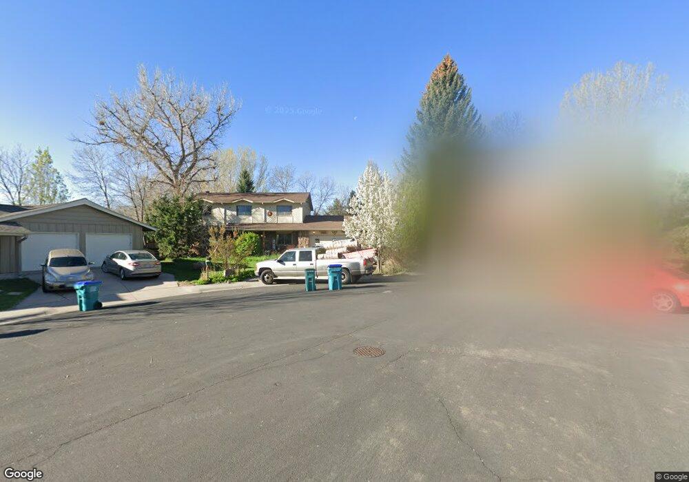
1401 Orange Ct Fort Collins, CO 80525
Lake Sherwood NeighborhoodEstimated Value: $664,898 - $717,000
4
Beds
4
Baths
2,950
Sq Ft
$234/Sq Ft
Est. Value
About This Home
This home is located at 1401 Orange Ct, Fort Collins, CO 80525 and is currently estimated at $690,475, approximately $234 per square foot. 1401 Orange Ct is a home located in Larimer County with nearby schools including Shepardson Elementary School, Boltz Middle School, and Fort Collins High School.
Ownership History
Date
Name
Owned For
Owner Type
Purchase Details
Closed on
Feb 26, 1999
Sold by
Kellogg George B
Bought by
Linfield Steve K
Current Estimated Value
Home Financials for this Owner
Home Financials are based on the most recent Mortgage that was taken out on this home.
Original Mortgage
$166,400
Outstanding Balance
$40,547
Interest Rate
6.83%
Estimated Equity
$649,928
Purchase Details
Closed on
Aug 1, 1983
Bought by
Kellogg George B
Create a Home Valuation Report for This Property
The Home Valuation Report is an in-depth analysis detailing your home's value as well as a comparison with similar homes in the area
Home Values in the Area
Average Home Value in this Area
Purchase History
| Date | Buyer | Sale Price | Title Company |
|---|---|---|---|
| Linfield Steve K | $208,000 | Land Title | |
| Kellogg George B | $150,000 | -- |
Source: Public Records
Mortgage History
| Date | Status | Borrower | Loan Amount |
|---|---|---|---|
| Open | Linfield Steve K | $166,400 | |
| Closed | Linfield Steve K | $20,800 |
Source: Public Records
Tax History Compared to Growth
Tax History
| Year | Tax Paid | Tax Assessment Tax Assessment Total Assessment is a certain percentage of the fair market value that is determined by local assessors to be the total taxable value of land and additions on the property. | Land | Improvement |
|---|---|---|---|---|
| 2025 | $3,916 | $44,501 | $2,814 | $41,687 |
| 2024 | $3,726 | $44,501 | $2,814 | $41,687 |
| 2022 | $3,272 | $34,653 | $2,919 | $31,734 |
| 2021 | $3,307 | $35,650 | $3,003 | $32,647 |
| 2020 | $2,890 | $30,888 | $3,003 | $27,885 |
| 2019 | $2,903 | $30,888 | $3,003 | $27,885 |
| 2018 | $2,402 | $26,352 | $3,024 | $23,328 |
| 2017 | $2,393 | $26,352 | $3,024 | $23,328 |
| 2016 | $2,479 | $27,159 | $3,343 | $23,816 |
| 2015 | $2,462 | $27,160 | $3,340 | $23,820 |
| 2014 | $1,968 | $21,570 | $3,340 | $18,230 |
Source: Public Records
Map
Nearby Homes
- 2926 Brookwood Place
- 2913 Fauborough Ct
- 2830 Middlesborough Ct
- 3036 Regatta Ln Unit 2
- 3319 Pepperwood Ln
- 3031 Eastborough Dr
- 1706 Lakeshore Dr
- 1024 E Swallow Rd Unit B214
- 1337 Green Gables Ct
- 1001 Strachan Dr Unit 22
- 3465 Lochwood Dr Unit S91
- 1219 Mansfield Dr
- 2961 Sagebrush Dr
- 1724 Westchester Ln
- 3500 Rolling Green Dr Unit O53
- 1101 Mansfield Dr
- 1621 Alcott St
- 3012 Sombrero Ln
- 1730 Tanglewood Dr
- 1632 Faraday Cir
- 1400 Orange Ct
- 1442 Ivy St
- 2943 Silverwood Dr
- 2949 Silverwood Dr
- 1436 Ivy St
- 1448 Ivy St
- 2955 Silverwood Dr
- 2956 Brookwood Place
- 2950 Brookwood Place
- 1406 Orange Ct
- 2962 Brookwood Place
- 2937 Silverwood Dr
- 2944 Brookwood Place
- 2938 Brookwood Place
- 2931 Silverwood Dr
- 2948 Silverwood Dr
- 1437 Ivy St
- 1443 Ivy St
- 2954 Silverwood Dr
- 2942 Silverwood Dr