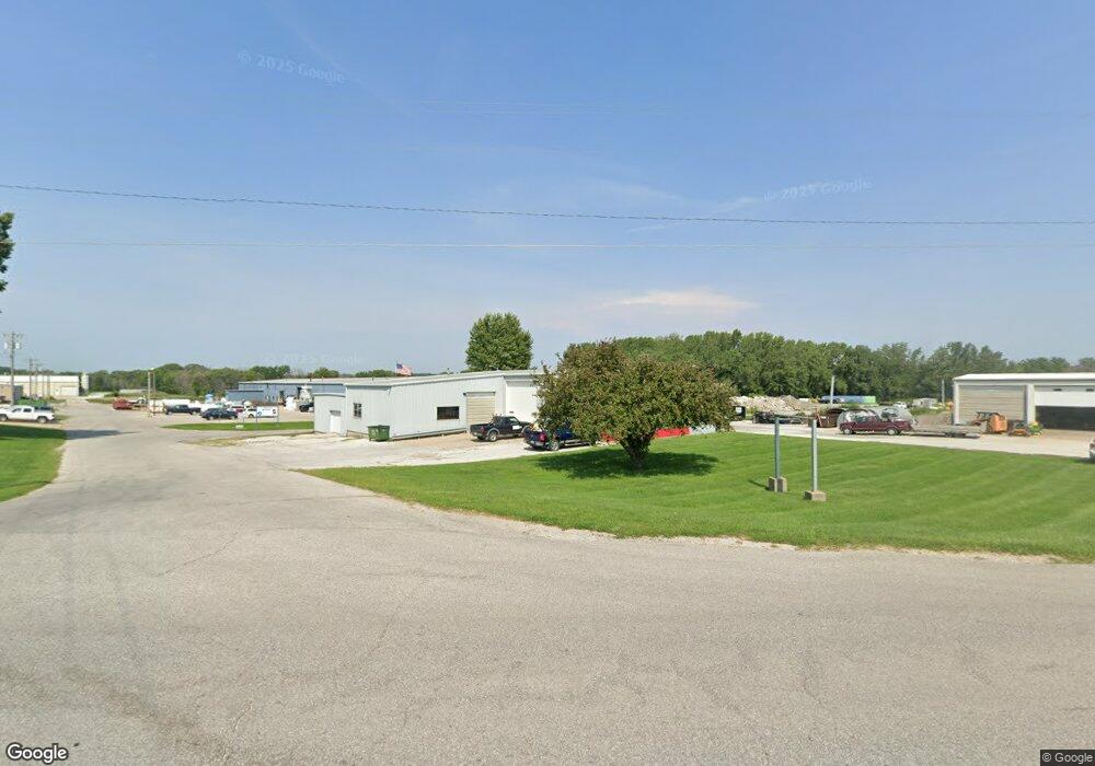
1401 SW 7th St Atlantic, IA 50022
--
Bed
--
Bath
4,010
Sq Ft
0.43
Acres
About This Home
This home is located at 1401 SW 7th St, Atlantic, IA 50022. 1401 SW 7th St is a home located in Cass County with nearby schools including Washington Elementary School, Schuler Elementary School, and Atlantic Middle School.
Ownership History
Date
Name
Owned For
Owner Type
Purchase Details
Closed on
Oct 17, 2019
Sold by
Henningsen Land Llc
Bought by
Henningsen Const Inc
Create a Home Valuation Report for This Property
The Home Valuation Report is an in-depth analysis detailing your home's value as well as a comparison with similar homes in the area
Home Values in the Area
Average Home Value in this Area
Purchase History
| Date | Buyer | Sale Price | Title Company |
|---|---|---|---|
| Henningsen Const Inc | -- | -- |
Source: Public Records
Tax History Compared to Growth
Tax History
| Year | Tax Paid | Tax Assessment Tax Assessment Total Assessment is a certain percentage of the fair market value that is determined by local assessors to be the total taxable value of land and additions on the property. | Land | Improvement |
|---|---|---|---|---|
| 2024 | $2,214 | $123,150 | $20,690 | $102,460 |
| 2023 | $2,584 | $123,150 | $20,690 | $102,460 |
| 2022 | $2,542 | $120,620 | $23,380 | $97,240 |
| 2021 | $2,542 | $120,620 | $23,380 | $97,240 |
| 2020 | $2,674 | $120,620 | $23,380 | $97,240 |
| 2019 | $2,172 | $92,800 | $0 | $0 |
| 2018 | $2,146 | $92,800 | $0 | $0 |
| 2017 | $2,216 | $92,800 | $0 | $0 |
| 2016 | $2,186 | $92,800 | $0 | $0 |
| 2015 | $1,916 | $82,120 | $0 | $0 |
| 2014 | $2,334 | $82,120 | $0 | $0 |
Source: Public Records
Map
Nearby Homes
- 1312 Sunnyside Ln
- 1505 Teresa Dr
- 1507 Teresa Dr
- 500 W 15th St
- 406 W 14th St
- 1104 Birch St
- 606 W 6th St
- 904 Birch St
- 108 Pearl St
- 1101 Locust St
- 1006 Locust St
- 906 Locust St
- 110 W 9th St
- 503 Cedar St
- 708 Locust St
- 1303 Chestnut St
- 2822 Country Club Dr
- 1304 Chestnut St
- 1314 Chestnut St
- 1100 Chestnut St
- 1309 SW 7th St
- 1309 SW 7th St
- 1307 SW 7th St
- 1404 SW 7th St
- 1403 SW 7th St
- 1407 SW 7th St
- 1301 SW 7th St
- 1500 SW 7th St
- 1310 SW 7th St
- 1203 SW 7th St
- 1311 Sunnyside Ln
- 0 SW 7th St
- 1307 Sunnyside Ln
- 1308 Sunnyside Ln
- 1310 Sunnyside Ln
- 1200 SW 7th St
- 1301 Sunnyside Ln
- 1209 Sunnyside Ln
- 1501 Owner Ave
- 1800 W 22nd St