14015 Denniston Ct Red Bluff, CA 96080
Red Bluff AreaEstimated Value: $479,000 - $559,000
About This Home
This home is located at 14015 Denniston Ct, Red Bluff, CA 96080 and is currently estimated at $526,832, approximately $291 per square foot. 14015 Denniston Ct is a home located in Tehama County with nearby schools including Jackson Heights Elementary School, Vista Preparatory Academy, and Red Bluff High School.
Ownership History
We collect this data history from publicly available records. To have your information removed, we recommend requesting removal directly through your county’s website.
Purchase Details
Home Financials for this Owner
Home Financials are based on the most recent Mortgage that was taken out on this home.Purchase History
We collect this data history from publicly available records. To have your information removed, we recommend requesting removal directly through your county’s website.
| Date | Buyer | Sale Price | Title Company |
|---|---|---|---|
| $289,000 | Chicago Title Co |
Mortgage History
We collect this data history from publicly available records. To have your information removed, we recommend requesting removal directly through your county’s website.
| Date | Status | Borrower | Loan Amount |
|---|---|---|---|
| Open | $65,000 | ||
| Open | $197,322 | ||
| Closed | $65,000 | ||
| Closed | $20,000 | ||
| Closed | $204,000 |
Tax History
We collect this data history from publicly available records. To have your information removed, we recommend requesting removal directly through your county’s website.
| Year | Tax Paid | Tax Assessment Tax Assessment Total Assessment is a certain percentage of the fair market value that is determined by local assessors to be the total taxable value of land and additions on the property. | Land | Improvement |
|---|---|---|---|---|
| 2025 | $4,124 | $401,920 | $90,893 | $311,027 |
| 2023 | $4,147 | $404,260 | $90,893 | $313,367 |
| 2022 | $4,204 | $404,700 | $90,893 | $313,807 |
| 2021 | $3,756 | $369,750 | $82,630 | $287,120 |
| 2020 | $3,322 | $317,805 | $71,852 | $245,953 |
| 2019 | $3,445 | $321,145 | $71,852 | $249,293 |
| 2018 | $2,967 | $293,642 | $65,320 | $228,322 |
| 2017 | $2,808 | $270,541 | $59,382 | $211,159 |
| 2016 | $2,652 | $268,301 | $59,382 | $208,919 |
| 2015 | $2,586 | $261,923 | $59,382 | $202,541 |
| 2014 | $2,230 | $225,345 | $51,637 | $173,708 |
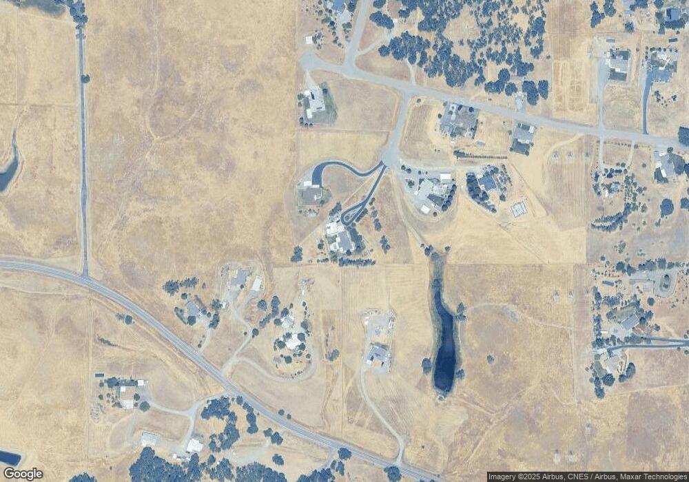
Map
- Lot D Aloe Place
- 13905 Mendenhall Rd
- 14430 Molluc Dr
- 20669 Jessica Ct
- 13552 Baker Rd
- 105 Robin St
- 2550 Cimarron Dr
- 000 Monroe Ave
- 14765 Molluc Dr
- 2736 Oriole Dr
- 225 Sparrow Ct
- 134 Walton Ave
- 2520 Oriole Dr
- 1836 Walbridge St
- 4060 Via Ventura
- 21370 Wilcox Rd
- 245 Walton Ave
- 14320 Vista Preciosa
- 1450 Bulkeley St
- 1450 Bulkeley St
- 14035 Denniston Ct
- 14020 Denniston Ct
- 20610 Plymire Rd
- 20550 Plymire Rd
- 20605 Manter Ct
- 14030 Denniston Ct
- 0 Manter Ct
- 000 Manter Ct Unit Parcel D
- 83 Manter Ct
- 86 Manter Ct
- 00 Manter Ct
- 000 Manter Ct
- 000 Manter Ct Unit 22-260-085-000
- 20530 Plymire Rd
- 20655 Manter Ct
- Manter Crt Manter Ct Unit Parcel D
- 30 Acres Manter Ct
- 20685 Manter Ct
- 20660 Manter Ct
- 14090 Deerwood Dr
Ask me questions while you tour the home.