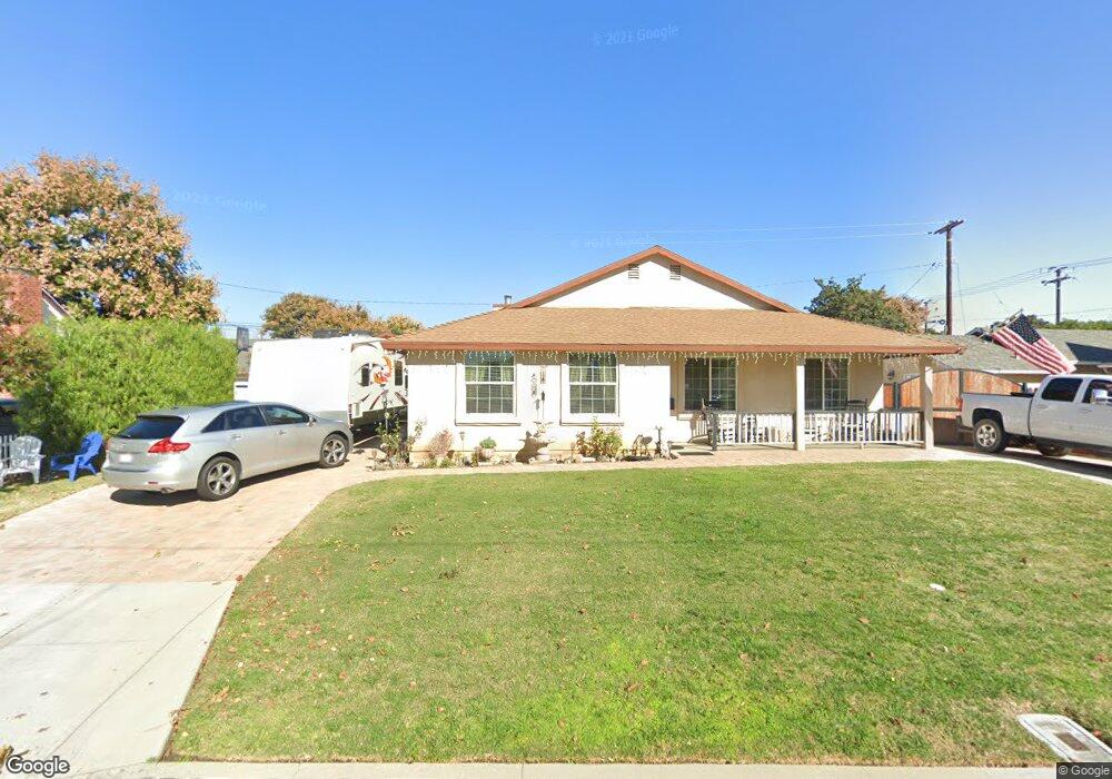
14015 La Forge St Whittier, CA 90605
South Whittier NeighborhoodEstimated Value: $856,000 - $1,160,000
4
Beds
2
Baths
2,010
Sq Ft
$480/Sq Ft
Est. Value
About This Home
This home is located at 14015 La Forge St, Whittier, CA 90605 and is currently estimated at $964,599, approximately $479 per square foot. 14015 La Forge St is a home located in Los Angeles County with nearby schools including Laurel Elementary School, East Whittier Middle School, and Whittier High School.
Ownership History
Date
Name
Owned For
Owner Type
Purchase Details
Closed on
Jan 5, 2010
Sold by
Garcia Ryan and Garcia Aliah
Bought by
Sanchez Richard and Sanchez Debra
Current Estimated Value
Home Financials for this Owner
Home Financials are based on the most recent Mortgage that was taken out on this home.
Original Mortgage
$120,000
Outstanding Balance
$79,106
Interest Rate
5.03%
Mortgage Type
New Conventional
Estimated Equity
$885,493
Create a Home Valuation Report for This Property
The Home Valuation Report is an in-depth analysis detailing your home's value as well as a comparison with similar homes in the area
Home Values in the Area
Average Home Value in this Area
Purchase History
| Date | Buyer | Sale Price | Title Company |
|---|---|---|---|
| Sanchez Richard | $450,000 | Old Republic Title Company |
Source: Public Records
Mortgage History
| Date | Status | Borrower | Loan Amount |
|---|---|---|---|
| Open | Sanchez Richard | $120,000 |
Source: Public Records
Tax History
| Year | Tax Paid | Tax Assessment Tax Assessment Total Assessment is a certain percentage of the fair market value that is determined by local assessors to be the total taxable value of land and additions on the property. | Land | Improvement |
|---|---|---|---|---|
| 2025 | $7,195 | $580,857 | $387,241 | $193,616 |
| 2024 | $7,195 | $569,469 | $379,649 | $189,820 |
| 2023 | $7,089 | $558,304 | $372,205 | $186,099 |
| 2022 | $6,942 | $547,357 | $364,907 | $182,450 |
| 2021 | $6,802 | $536,625 | $357,752 | $178,873 |
| 2019 | $6,664 | $520,710 | $347,142 | $173,568 |
| 2018 | $6,373 | $510,501 | $340,336 | $170,165 |
| 2016 | $6,033 | $490,679 | $327,121 | $163,558 |
| 2015 | $6,035 | $483,310 | $322,208 | $161,102 |
| 2014 | $5,955 | $473,844 | $315,897 | $157,947 |
Source: Public Records
Map
Nearby Homes
- 13840 Danbrook Dr
- 8901 Ocean View Ave
- 13563 Carnell St
- 9308 Tarryton Ave
- 13856 Mulberry Dr
- 9834 Ahmann Ave
- 13448 Dunton Dr
- 10035 Ben Hur Ave
- 10044 Ben Hur Ave
- 8352 Edmaru Ave
- 9931 Rufus Ave
- 13527 Ramona Dr
- 14021 Fernview St
- 14603 Christine Dr Unit 1
- 9551 Barkerville Ave
- 14327 Emory Dr
- 13701 Russell St
- 14617 Montevideo Dr
- 13924 Anola St
- 14255 Broadway
- 14011 La Forge St
- 9049 Calmada Ave
- 14020 Carnell St
- 14026 Carnell St
- 14014 Carnell St
- 14005 La Forge St
- 14014 La Forge St
- 14032 Carnell St
- 14008 Carnell St
- 14020 La Forge St
- 14008 La Forge St
- 14026 La Forge St
- 13965 La Forge St
- 14002 Carnell St
- 14002 La Forge St
- 9025 Calmada Ave
- 14013 Flomar Dr
- 14007 Flomar Dr
- 14043 La Forge St
- 14021 Carnell St
Your Personal Tour Guide
Ask me questions while you tour the home.