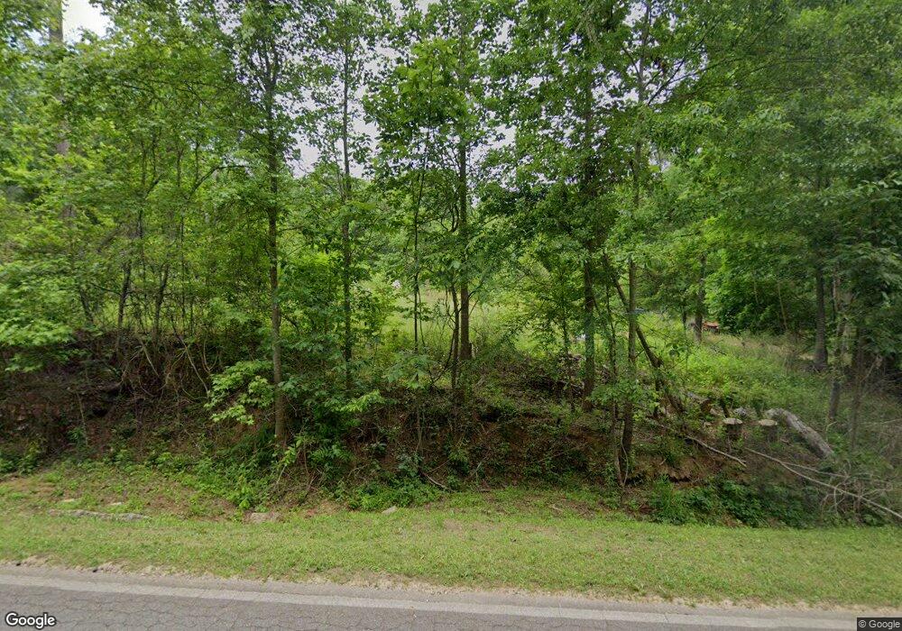
Estimated Value: $92,314 - $376,000
Studio
--
Bath
625
Sq Ft
$349/Sq Ft
Est. Value
About This Home
This home is located at 1403 Bartram Trace Rd, Rayle, GA 30660 and is currently estimated at $218,105, approximately $348 per square foot. 1403 Bartram Trace Rd is a home with nearby schools including Washington-Wilkes Elementary School, Washington-Wilkes Primary School, and Washington-Wilkes Middle School.
Ownership History
Date
Name
Owned For
Owner Type
Purchase Details
Closed on
Jan 30, 2012
Sold by
Cressman Paul
Bought by
Cressman Paul S and Cressman Marcy L
Current Estimated Value
Purchase Details
Closed on
Jan 18, 1997
Sold by
Decoursey Stephen Ed
Bought by
Cressman Paul and Cressman Marc
Purchase Details
Closed on
Jul 1, 1992
Bought by
Decoursey Stephen Ed
Purchase Details
Closed on
Jun 1, 1986
Purchase Details
Closed on
Jul 1, 1981
Create a Home Valuation Report for This Property
The Home Valuation Report is an in-depth analysis detailing your home's value as well as a comparison with similar homes in the area
Purchase History
| Date | Buyer | Sale Price | Title Company |
|---|---|---|---|
| Cressman Paul S | -- | -- | |
| Cressman Paul | $15,000 | -- | |
| Decoursey Stephen Ed | $13,700 | -- | |
| -- | $76,900 | -- | |
| -- | -- | -- |
Source: Public Records
Tax History
| Year | Tax Paid | Tax Assessment Tax Assessment Total Assessment is a certain percentage of the fair market value that is determined by local assessors to be the total taxable value of land and additions on the property. | Land | Improvement |
|---|---|---|---|---|
| 2025 | $464 | $25,056 | $19,158 | $5,898 |
| 2024 | $464 | $25,056 | $19,158 | $5,898 |
| 2023 | $449 | $25,056 | $19,158 | $5,898 |
| 2022 | $441 | $25,056 | $19,158 | $5,898 |
| 2021 | $375 | $26,964 | $21,842 | $5,122 |
| 2020 | $375 | $26,964 | $21,842 | $5,122 |
| 2019 | $372 | $26,964 | $21,842 | $5,122 |
| 2018 | $783 | $26,964 | $21,842 | $5,122 |
| 2017 | $783 | $26,964 | $21,842 | $5,122 |
| 2016 | $342 | $26,964 | $21,842 | $5,122 |
| 2015 | -- | $21,842 | $21,842 | $0 |
| 2014 | -- | $21,842 | $21,842 | $0 |
| 2013 | -- | $21,842 | $21,842 | $0 |
Source: Public Records
Map
Nearby Homes
- 0 Bartram Trace Rd
- 5111 Greensboro Rd
- 1135 Beaver Dam Rd
- 4143 Sandy Cross Rd NE
- 310 Philomath Woodville Rd
- 0 Silas Mercer Rd NE Unit 10364766
- 2514 Greensboro Rd
- 0 Saggus Rd Unit 10580223
- 625 Happy Hollow Rd
- 0 Skull Shoals Rd Unit 23220093
- 1569 Skull Shoals Rd
- 4316 Sharon Rd
- 1044 Sardis Rd
- 732 Hilliard Station Rd
- 520 Jackson St
- 403 Jackson St
- 402 Peachtree St
- 203 Peter St
- 0 Alabama St Unit 10616834
- 0 Alabama St Unit CL345643
- 1361 Bartram Trace Rd
- 1402 Bartram Trace Rd
- 1555 Bartram Trace Rd
- 1254 Bartram Trace Rd
- 1615 Bartram Trace Rd
- 1167 Bartram Trace Rd
- 1144 Bartram Trace Rd
- 1705 Bartram Trace Rd
- 1658 Bartram Trace Rd
- 1100 Bartram Trace Rd
- 000 Bartram Trace Rd
- 1779 Bartram Trace Rd
- 1111 Bartram Trace Rd
- 000 Bartram Trace Rd
- 529 Lee Poss Rd
- 1043 Bartram Trace Rd
- 000 Lee Poss Rd
- 1834 Bartram Trace Rd
- 1784 Bartram Trace Rd
- 920 Bartram Trace Rd
