14035 Denniston Ct Red Bluff, CA 96080
Estimated Value: $521,306 - $551,000
3
Beds
2
Baths
2,028
Sq Ft
$264/Sq Ft
Est. Value
About This Home
This home is located at 14035 Denniston Ct, Red Bluff, CA 96080 and is currently estimated at $536,327, approximately $264 per square foot. 14035 Denniston Ct is a home located in Tehama County with nearby schools including Jackson Heights Elementary School, Vista Preparatory Academy, and Red Bluff High School.
Ownership History
Date
Name
Owned For
Owner Type
Purchase Details
Closed on
Aug 29, 2006
Sold by
Thompson Thomas J and Thompson Marie D
Bought by
Thompson Thomas J and Thompson Marie D
Current Estimated Value
Purchase Details
Closed on
Feb 23, 2005
Sold by
Lehman Richard and Lehman Sondra
Bought by
Thompson Thomas J and Thompson Marie D
Purchase Details
Closed on
Jun 1, 2004
Sold by
Lopeman Charles R and Denniston Phillip
Bought by
Lehman Richard and Lehman Sondra
Create a Home Valuation Report for This Property
The Home Valuation Report is an in-depth analysis detailing your home's value as well as a comparison with similar homes in the area
Purchase History
| Date | Buyer | Sale Price | Title Company |
|---|---|---|---|
| Thompson Thomas J | -- | None Available | |
| Thompson Thomas J | $410,000 | Fidelity National Title | |
| Lehman Richard | -- | Chicago Title Co |
Source: Public Records
Tax History
| Year | Tax Paid | Tax Assessment Tax Assessment Total Assessment is a certain percentage of the fair market value that is determined by local assessors to be the total taxable value of land and additions on the property. | Land | Improvement |
|---|---|---|---|---|
| 2025 | $4,302 | $420,289 | $138,388 | $281,901 |
| 2023 | $4,313 | $420,289 | $138,388 | $281,901 |
| 2022 | $4,368 | $420,289 | $138,388 | $281,901 |
| 2021 | $3,882 | $382,081 | $125,807 | $256,274 |
| 2020 | $3,475 | $332,244 | $109,397 | $222,847 |
| 2019 | $3,566 | $332,244 | $109,397 | $222,847 |
| 2018 | $3,053 | $302,040 | $99,452 | $202,588 |
| 2017 | $2,851 | $274,582 | $90,411 | $184,171 |
| 2016 | $2,584 | $261,507 | $86,106 | $175,401 |
| 2015 | $2,582 | $261,507 | $86,106 | $175,401 |
| 2014 | $2,250 | $227,398 | $74,875 | $152,523 |
Source: Public Records
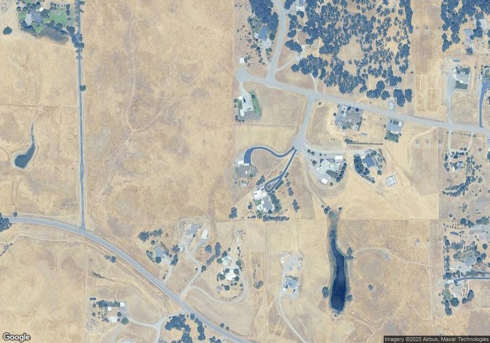
Map
Nearby Homes
- Lot D Aloe Place
- 13905 Mendenhall Rd
- 20662 Saddlebrook Dr
- 14465 Ryan Ln
- 14535 Molluc Dr
- 1810 Kemper Ave
- 0 Ludlow Ave Unit SN25045951
- 14560 Warren Ave
- 14575 Kinney Ave
- 2132 Reta Way
- 14605 Kinney Ave
- 2157 Reta Way
- 2180 Gentry Way
- 14815 Molluc Dr
- 21325 Wilcox Rd
- 4375 Via Ventura
- 225 Sparrow Ct
- 1836 Walbridge St
- 21350 Wilcox Rd
- 1800 Walbridge St
- 14015 Denniston Ct
- 20605 Manter Ct
- 20550 Plymire Rd
- 14020 Denniston Ct
- 0 Manter Ct
- 000 Manter Ct Unit Parcel D
- 83 Manter Ct
- 86 Manter Ct
- 00 Manter Ct
- 000 Manter Ct Unit 22-260-085-000
- 20610 Plymire Rd
- 30 Acres Manter Ct
- 20530 Plymire Rd
- 20655 Manter Ct
- 14030 Denniston Ct
- 14095 Deerwood Dr
- Manter Crt Manter Ct Unit Parcel D
- 14090 Deerwood Dr
- 20685 Manter Ct
- 20660 Manter Ct
Your Personal Tour Guide
Ask me questions while you tour the home.