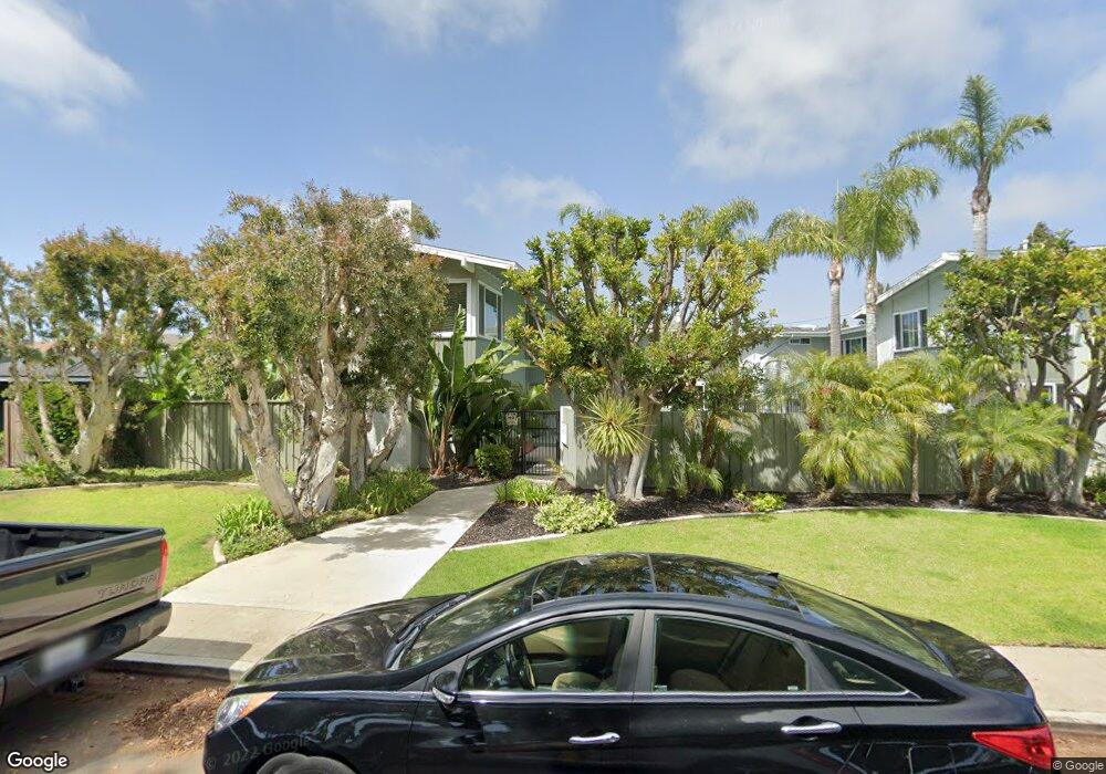
1404 Clay St Unit G Newport Beach, CA 92663
Cliff Haven NeighborhoodEstimated Value: $834,000 - $1,167,000
2
Beds
2
Baths
1,068
Sq Ft
$905/Sq Ft
Est. Value
About This Home
This home is located at 1404 Clay St Unit G, Newport Beach, CA 92663 and is currently estimated at $966,362, approximately $904 per square foot. 1404 Clay St Unit G is a home located in Orange County with nearby schools including Newport Heights Elementary, Horace Ensign Intermediate School, and Newport Harbor High School.
Ownership History
Date
Name
Owned For
Owner Type
Purchase Details
Closed on
Jan 29, 2021
Sold by
Robert Lamar Cundy Revocable Trust and Cundy Robert Lamar
Bought by
Cundy Robert Lamar
Current Estimated Value
Home Financials for this Owner
Home Financials are based on the most recent Mortgage that was taken out on this home.
Original Mortgage
$140,000
Interest Rate
2.3%
Mortgage Type
New Conventional
Purchase Details
Closed on
Aug 21, 2018
Sold by
Cundy Robert Lamar
Bought by
Cundy Robert Lamar and Robert Lamar Cundy Revocable Trust
Purchase Details
Closed on
Oct 15, 2002
Sold by
Cundy Louise M
Bought by
Cundy Robert Lamar
Home Financials for this Owner
Home Financials are based on the most recent Mortgage that was taken out on this home.
Original Mortgage
$202,000
Interest Rate
6.05%
Mortgage Type
Stand Alone First
Create a Home Valuation Report for This Property
The Home Valuation Report is an in-depth analysis detailing your home's value as well as a comparison with similar homes in the area
Home Values in the Area
Average Home Value in this Area
Purchase History
| Date | Buyer | Sale Price | Title Company |
|---|---|---|---|
| Cundy Robert Lamar | -- | None Listed On Document | |
| Cundy Robert Lamar | -- | None Available | |
| Cundy Robert Lamar | -- | American Title Co |
Source: Public Records
Mortgage History
| Date | Status | Borrower | Loan Amount |
|---|---|---|---|
| Previous Owner | Cundy Robert Lamar | $140,000 | |
| Previous Owner | Cundy Robert Lamar | $202,000 |
Source: Public Records
Tax History Compared to Growth
Tax History
| Year | Tax Paid | Tax Assessment Tax Assessment Total Assessment is a certain percentage of the fair market value that is determined by local assessors to be the total taxable value of land and additions on the property. | Land | Improvement |
|---|---|---|---|---|
| 2025 | $3,623 | $320,715 | $225,393 | $95,322 |
| 2024 | $3,623 | $314,427 | $220,974 | $93,453 |
| 2023 | $3,534 | $308,262 | $216,641 | $91,621 |
| 2022 | $3,469 | $302,218 | $212,393 | $89,825 |
| 2021 | $3,404 | $296,293 | $208,229 | $88,064 |
| 2020 | $3,370 | $293,255 | $206,093 | $87,162 |
| 2019 | $3,305 | $287,505 | $202,052 | $85,453 |
| 2018 | $3,240 | $281,868 | $198,090 | $83,778 |
| 2017 | $3,183 | $276,342 | $194,206 | $82,136 |
| 2016 | $3,113 | $270,924 | $190,398 | $80,526 |
| 2015 | $3,081 | $266,855 | $187,538 | $79,317 |
| 2014 | $3,008 | $261,628 | $183,864 | $77,764 |
Source: Public Records
Map
Nearby Homes
- 1705 Haven Place Unit 1
- 1805 Clay St
- 411 Snug Harbor Rd
- 401 Snug Harbor Rd
- 430 Aliso Ave
- 321 Fullerton Ave
- 600 Powell Place
- 2300 Margaret Dr
- 2217 Laurel Place
- 2427 Margaret Dr
- 511 Cliff Dr
- 425 Tustin Ave
- 421 Tustin Ave
- 530 Kings Rd
- 520 Kings Rd
- 702 Saint James Place
- 496 E 16th St
- 212 Kings Place
- 730 Saint James Place
- 387 La Perle Place
- 1300 Clay St Unit A
- 497 Saint Andrews Rd Unit B
- 1300 Clay St
- 501 Saint Andrews Rd Unit C
- 497 Saint Andrews Rd
- 1400 Clay St Unit F
- 1402 Clay St Unit H
- 1406 Clay St Unit J
- 1406 Clay St
- 499 Saint Andrews Rd Unit D
- 499 Saint Andrews Rd
- 1408 Clay St Unit K
- 1408 Clay St
- 1500 Clay St
- 1502 Clay St
- 505 Saint Andrews Rd Unit 8
- 505 Saint Andrews Rd Unit 5
- 505 Saint Andrews Rd Unit 2
- 505 Saint Andrews Rd Unit 3
- 505 Saint Andrews Rd