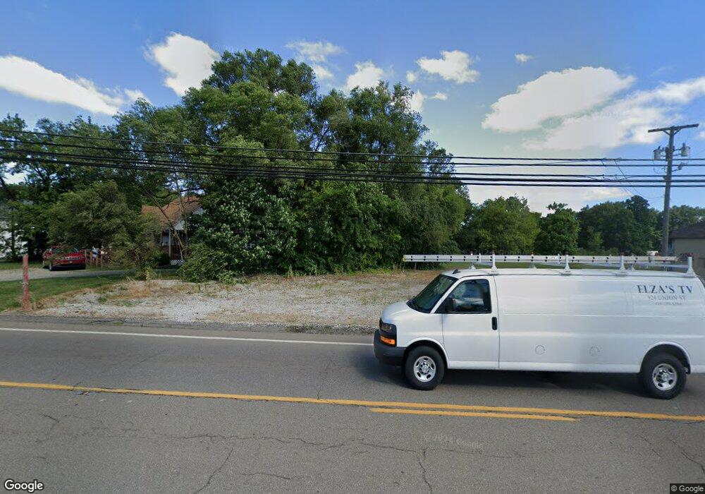
1405 Ashland Rd Unit 1407 Mansfield, OH 44905
Estimated Value: $165,865 - $202,000
4
Beds
2
Baths
1,952
Sq Ft
$94/Sq Ft
Est. Value
About This Home
This home is located at 1405 Ashland Rd Unit 1407, Mansfield, OH 44905 and is currently estimated at $183,716, approximately $94 per square foot. 1405 Ashland Rd Unit 1407 is a home located in Richland County with nearby schools including Madison High School, St. Mary Catholic School, and Temple-Christian School.
Ownership History
Date
Name
Owned For
Owner Type
Purchase Details
Closed on
May 1, 2012
Sold by
Fox David and Hamilton Bart
Bought by
Robin Myers Crain Industries Llc
Current Estimated Value
Purchase Details
Closed on
Oct 31, 2007
Sold by
Fox David
Bought by
D D Charity Llc
Purchase Details
Closed on
Feb 10, 2005
Sold by
Sharrock David R and Sharrock Doris A
Bought by
Fox David
Home Financials for this Owner
Home Financials are based on the most recent Mortgage that was taken out on this home.
Original Mortgage
$50,400
Interest Rate
7.5%
Mortgage Type
Purchase Money Mortgage
Purchase Details
Closed on
May 31, 1996
Sold by
Russell J David
Bought by
Sharrock David R and Sharrock Doris A
Create a Home Valuation Report for This Property
The Home Valuation Report is an in-depth analysis detailing your home's value as well as a comparison with similar homes in the area
Home Values in the Area
Average Home Value in this Area
Purchase History
| Date | Buyer | Sale Price | Title Company |
|---|---|---|---|
| Robin Myers Crain Industries Llc | $10,000 | Chicago Title Agency Of Nort | |
| D D Charity Llc | $20,000 | None Available | |
| Fox David | $119,000 | Southern Title | |
| Fox David | $56,000 | Southern Title | |
| Sharrock David R | $130,000 | -- |
Source: Public Records
Mortgage History
| Date | Status | Borrower | Loan Amount |
|---|---|---|---|
| Previous Owner | Fox David | $50,400 | |
| Previous Owner | Fox David | $107,100 |
Source: Public Records
Tax History Compared to Growth
Tax History
| Year | Tax Paid | Tax Assessment Tax Assessment Total Assessment is a certain percentage of the fair market value that is determined by local assessors to be the total taxable value of land and additions on the property. | Land | Improvement |
|---|---|---|---|---|
| 2024 | $477 | $9,630 | $5,580 | $4,050 |
| 2023 | $477 | $9,630 | $5,580 | $4,050 |
| 2022 | $444 | $7,930 | $4,980 | $2,950 |
| 2021 | $444 | $7,930 | $4,980 | $2,950 |
| 2020 | $447 | $7,930 | $4,980 | $2,950 |
| 2019 | $426 | $6,720 | $4,220 | $2,500 |
| 2018 | $399 | $6,720 | $4,220 | $2,500 |
| 2017 | $1,042 | $17,920 | $4,220 | $13,700 |
| 2016 | $204 | $3,390 | $2,740 | $650 |
| 2015 | $195 | $3,390 | $2,740 | $650 |
| 2014 | $194 | $3,390 | $2,740 | $650 |
| 2012 | $1,080 | $3,570 | $2,880 | $690 |
Source: Public Records
Map
Nearby Homes
- 903 Mayflower Ave
- 683 Coachman Rd
- 671 Coachman Rd
- 1151 Beal Rd
- 1007 Delwood Rd
- 1226 Evergreen Ave W
- 1282 Redman Ave
- 632 Coachman Rd
- 1199 Evergreen Ave W
- 602 Champion Rd
- 1183 Evergreen Ave W
- 644 Skyline Rd
- 1158 Delwood Rd
- 536 Gordon Rd
- 1806 Richard Dr
- 1245 N Stewart Rd
- 419 N Mcelroy Rd
- 1910 Crider Rd
- 735 Pennsylvania Ave
- 588 Michigan Ave
- 1409 Ashland Rd
- 1401 Ashland Rd
- 1379 Ashland Rd
- 1419 Ashland Rd
- 1418 Ashland Rd
- 1381 Ashland Rd
- 1378 Ashland Rd
- 1373 Ashland Rd
- 1439 State Route 42
- 921 Unity Dr
- 1446 Ashland Rd
- 911 Unity Dr
- 933 Unity Dr
- 1343 Ashland Rd
- 901 Unity Dr
- 891 Unity Dr
- 1396 Barbara Ln
- 1390 Barbara Ln
- 1382 Barbara Ln
- 1382 Barbara Ln
