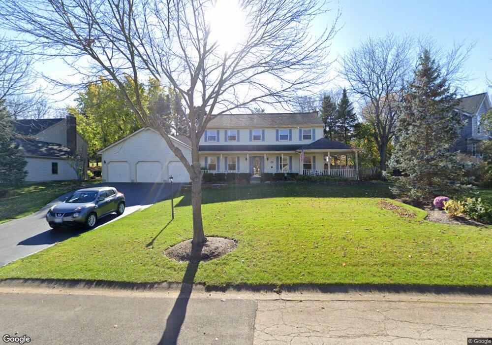
1405 Brandywine Cir Algonquin, IL 60102
Estimated Value: $433,472 - $485,000
4
Beds
--
Bath
2,352
Sq Ft
$197/Sq Ft
Est. Value
About This Home
This home is located at 1405 Brandywine Cir, Algonquin, IL 60102 and is currently estimated at $463,618, approximately $197 per square foot. 1405 Brandywine Cir is a home located in Kane County with nearby schools including Westfield Community School, Kenneth E Neubert Elementary School, and Harry D Jacobs High School.
Ownership History
Date
Name
Owned For
Owner Type
Purchase Details
Closed on
Oct 19, 2015
Sold by
Lueth Michael A and Lueth Joyce M
Bought by
Michael & Joyce Lueth Trust and Lueth Joyce M
Current Estimated Value
Create a Home Valuation Report for This Property
The Home Valuation Report is an in-depth analysis detailing your home's value as well as a comparison with similar homes in the area
Purchase History
| Date | Buyer | Sale Price | Title Company |
|---|---|---|---|
| Michael & Joyce Lueth Trust | -- | Attorney |
Source: Public Records
Tax History
| Year | Tax Paid | Tax Assessment Tax Assessment Total Assessment is a certain percentage of the fair market value that is determined by local assessors to be the total taxable value of land and additions on the property. | Land | Improvement |
|---|---|---|---|---|
| 2024 | $9,014 | $134,553 | $25,228 | $109,325 |
| 2023 | $8,551 | $121,066 | $22,699 | $98,367 |
| 2022 | $8,340 | $110,798 | $22,699 | $88,099 |
| 2021 | $7,869 | $104,615 | $21,432 | $83,183 |
| 2020 | $7,906 | $102,263 | $20,950 | $81,313 |
| 2019 | $8,239 | $103,791 | $19,888 | $83,903 |
| 2018 | $8,217 | $100,120 | $26,182 | $73,938 |
| 2017 | $7,859 | $93,658 | $24,492 | $69,166 |
| 2016 | $8,045 | $90,683 | $23,714 | $66,969 |
| 2015 | -- | $84,973 | $22,221 | $62,752 |
| 2014 | -- | $73,513 | $21,607 | $51,906 |
| 2013 | -- | $75,763 | $22,268 | $53,495 |
Source: Public Records
Map
Nearby Homes
- SWC Talaga and Algonquin Rd
- 1850 White Oak Dr
- 1002 Interloch Ct Unit 152
- 1530 Westbourne Pkwy
- 1540 Westbourne Pkwy
- 1460 Lancaster Ln
- 1621 Glengarry Ct Unit 131
- 18 Peach Tree Ct Unit 4154
- 1900 Waverly Ln
- 1200 Hillside View
- Lot #3-5 Hayes Rd
- 2054 Peach Tree Ln Unit 4171
- 2069 Peach Tree Ln Unit 4116
- 2224 Barrett Dr
- 2051 Carlisle St
- 1030 Glenmont St
- 301 Cold Spring St
- 1000 Glenmont St
- 2161 Burnham Ct
- 2010 Cosman Way
- 1325 Brandywine Cir
- 1415 Brandywine Cir
- 1340 Spring Hill Dr
- 1360 Spring Hill Dr
- 1315 Brandywine Cir
- 1425 Brandywine Cir
- 1320 Spring Hill Dr
- 1400 Brandywine Cir
- 1380 Spring Hill Dr
- 1330 Brandywine Cir
- 1410 Brandywine Cir
- 1300 Spring Hill Dr
- 1320 Brandywine Cir
- 1305 Brandywine Cir
- 1400 Spring Hill Dr
- 1435 Brandywine Cir
- 1420 Brandywine Cir
- 1310 Brandywine Cir
- 1430 Brandywine Cir
- 1230 Spring Hill Dr
Your Personal Tour Guide
Ask me questions while you tour the home.