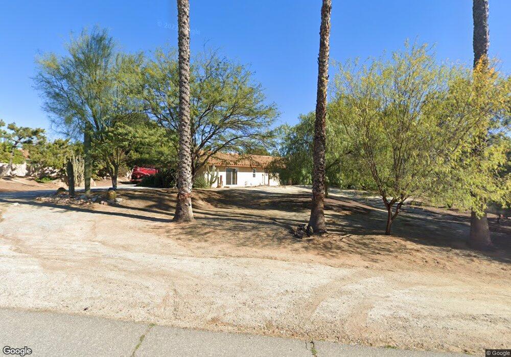
14052 Pear St Riverside, CA 92508
Alessandro Heights NeighborhoodEstimated Value: $790,000 - $800,000
4
Beds
2
Baths
2,054
Sq Ft
$387/Sq Ft
Est. Value
About This Home
This home is located at 14052 Pear St, Riverside, CA 92508 and is currently estimated at $794,043, approximately $386 per square foot. 14052 Pear St is a home located in Riverside County with nearby schools including John F. Kennedy Elementary School, Amelia Earhart Middle School, and Martin Luther King Junior High School.
Ownership History
Date
Name
Owned For
Owner Type
Purchase Details
Closed on
Jan 30, 2001
Sold by
Samson Neal Wade
Bought by
Samson Neal Wade and Mitchell Jane A
Current Estimated Value
Purchase Details
Closed on
Feb 2, 1994
Sold by
Samson Neal Wade
Bought by
Samson Neal Wade
Home Financials for this Owner
Home Financials are based on the most recent Mortgage that was taken out on this home.
Original Mortgage
$191,200
Interest Rate
4.37%
Mortgage Type
Purchase Money Mortgage
Create a Home Valuation Report for This Property
The Home Valuation Report is an in-depth analysis detailing your home's value as well as a comparison with similar homes in the area
Home Values in the Area
Average Home Value in this Area
Purchase History
| Date | Buyer | Sale Price | Title Company |
|---|---|---|---|
| Samson Neal Wade | -- | Stewart Title | |
| Samson Neal Wade | -- | Continental Lawyers Title Co |
Source: Public Records
Mortgage History
| Date | Status | Borrower | Loan Amount |
|---|---|---|---|
| Closed | Samson Neal Wade | $191,200 |
Source: Public Records
Tax History Compared to Growth
Tax History
| Year | Tax Paid | Tax Assessment Tax Assessment Total Assessment is a certain percentage of the fair market value that is determined by local assessors to be the total taxable value of land and additions on the property. | Land | Improvement |
|---|---|---|---|---|
| 2025 | $2,224 | $209,015 | $40,726 | $168,289 |
| 2023 | $2,224 | $200,901 | $39,146 | $161,755 |
| 2022 | $2,171 | $196,963 | $38,379 | $158,584 |
| 2021 | $2,151 | $193,102 | $37,627 | $155,475 |
| 2020 | $2,134 | $191,123 | $37,242 | $153,881 |
| 2019 | $2,093 | $187,376 | $36,512 | $150,864 |
| 2018 | $2,052 | $183,703 | $35,798 | $147,905 |
| 2017 | $2,015 | $180,102 | $35,097 | $145,005 |
| 2016 | $1,887 | $176,571 | $34,409 | $142,162 |
| 2015 | $1,859 | $173,921 | $33,893 | $140,028 |
| 2014 | $1,839 | $170,516 | $33,230 | $137,286 |
Source: Public Records
Map
Nearby Homes
- 7429 Selena St
- 1042 Coronet Dr
- 18805 Moss Rd
- 7619 Hillhurst Dr
- 7639 Hillhurst Dr
- 19121 Broken Bow Dr
- 106 Bracebridge Rd
- 1257 Fetlock Way
- 14392 Merlot Ct
- 19155 Vintage Woods Dr
- 7250 Goldboro Ln
- 945 Cannon Rd
- 7047 Golden Vale Dr
- 1249 Coronet Dr
- 7007 Golden Vale Dr
- 7390 Corinthian Way
- 7156 Stanhope Ln
- 6978 Withers Rd
- 14787 Wood Rd
- 19138 Kangnam Rd
- 14022 Pear St
- 14092 Pear St
- 14095 Pear St
- 7453 Selena St
- 14112 Pear St
- 7477 Selena St
- 14055 Pear St
- 14115 Pear St
- 18952 Eagle Song Place
- 14025 Pear St
- 1038 Coronet Dr
- 1026 Coronet Dr
- 18953 Eagle Song Place
- 18979 Berry Rd
- 7491 Selena St
- 1018 Coronet Dr
- 14024 Bush Ave
- 18952 White Sage Ln
- 1050 Coronet Dr
- 18972 Eagle Song Place