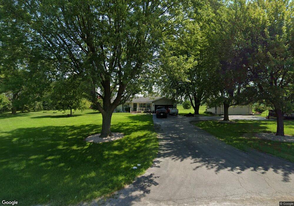
14052 State Route 292 Kenton, OH 43326
Estimated Value: $203,418 - $322,000
3
Beds
1
Bath
1,340
Sq Ft
$184/Sq Ft
Est. Value
About This Home
This home is located at 14052 State Route 292, Kenton, OH 43326 and is currently estimated at $246,855, approximately $184 per square foot. 14052 State Route 292 is a home located in Hardin County with nearby schools including Kenton Elementary School, Kenton Middle School, and Kenton High School.
Ownership History
Date
Name
Owned For
Owner Type
Purchase Details
Closed on
Oct 28, 2019
Sold by
Holford Donald W
Bought by
Piper Michael A and Piper Trina
Current Estimated Value
Home Financials for this Owner
Home Financials are based on the most recent Mortgage that was taken out on this home.
Original Mortgage
$181,550
Outstanding Balance
$159,781
Interest Rate
3.62%
Mortgage Type
FHA
Estimated Equity
$87,074
Purchase Details
Closed on
Jun 17, 2010
Sold by
Mustain Frank M and Mustain Denise A
Bought by
Holfrod Donald W
Home Financials for this Owner
Home Financials are based on the most recent Mortgage that was taken out on this home.
Original Mortgage
$101,700
Interest Rate
5.05%
Mortgage Type
New Conventional
Purchase Details
Closed on
Jun 24, 2008
Sold by
Coy Ron E
Bought by
Mustin Frank M and Mustin Denise A
Home Financials for this Owner
Home Financials are based on the most recent Mortgage that was taken out on this home.
Original Mortgage
$82,400
Interest Rate
6.05%
Mortgage Type
New Conventional
Create a Home Valuation Report for This Property
The Home Valuation Report is an in-depth analysis detailing your home's value as well as a comparison with similar homes in the area
Home Values in the Area
Average Home Value in this Area
Purchase History
| Date | Buyer | Sale Price | Title Company |
|---|---|---|---|
| Piper Michael A | $184,900 | None Available | |
| Holfrod Donald W | -- | None Available | |
| Mustin Frank M | $103,000 | None Available |
Source: Public Records
Mortgage History
| Date | Status | Borrower | Loan Amount |
|---|---|---|---|
| Open | Piper Michael A | $181,550 | |
| Closed | Holfrod Donald W | $101,700 | |
| Previous Owner | Mustin Frank M | $82,400 |
Source: Public Records
Tax History Compared to Growth
Tax History
| Year | Tax Paid | Tax Assessment Tax Assessment Total Assessment is a certain percentage of the fair market value that is determined by local assessors to be the total taxable value of land and additions on the property. | Land | Improvement |
|---|---|---|---|---|
| 2024 | $2,394 | $55,400 | $6,320 | $49,080 |
| 2023 | $2,394 | $55,400 | $6,320 | $49,080 |
| 2022 | $2,187 | $47,350 | $5,050 | $42,300 |
| 2021 | $2,195 | $47,350 | $5,050 | $42,300 |
| 2020 | $1,848 | $45,950 | $5,050 | $40,900 |
| 2019 | $1,468 | $38,810 | $4,840 | $33,970 |
| 2018 | $1,474 | $38,810 | $4,840 | $33,970 |
| 2017 | $1,376 | $38,810 | $4,840 | $33,970 |
| 2016 | $1,301 | $36,630 | $4,320 | $32,310 |
| 2015 | $1,274 | $36,630 | $4,320 | $32,310 |
| 2014 | $1,302 | $36,630 | $4,320 | $32,310 |
| 2013 | $1,288 | $34,630 | $4,320 | $30,310 |
Source: Public Records
Map
Nearby Homes
- 13450 State Route 292
- 320 Letson Ave
- 727 S Detroit St
- 639 S Main St
- 920 Cooper St
- 510 Decatur St
- 508 Decatur St
- 414 Robinson Ave
- 115 Scioto St
- 530 E Franklin St
- 121 S High St
- 513 E Franklin St
- 39 Grape St
- 79 Broadway St
- 11896 Parklane Dr
- 509 E Carrol St
- 726 Tracy St
- 219 W Carrol St
- 1 C Ct
- 215 N Main St
- 13890 State Route 292
- 14155 State Route 292
- 13929 State Route 292
- 13770 State Route 292
- 14297 State Route 292
- 13725 State Route 292
- 13725 State Route 292
- 13720 State Route 292
- 14073 Sr
- 14440 State Route 292
- 14073 State Route 31
- 14073 State Route 31
- 13927 State Route 31
- 14084 State Route 31
- 13908 State Route 31
- 14267 State Route 31
- 14020 State Route 31
- 13810 State Route 31
- 14539 State Route 292
- 14574 State Route 292