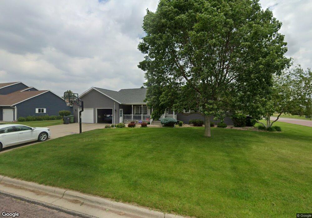
1406 S Carroll St Rock Rapids, IA 51246
Estimated Value: $374,725 - $473,000
4
Beds
4
Baths
1,893
Sq Ft
$229/Sq Ft
Est. Value
About This Home
This home is located at 1406 S Carroll St, Rock Rapids, IA 51246 and is currently estimated at $432,931, approximately $228 per square foot. 1406 S Carroll St is a home located in Lyon County with nearby schools including Central Lyon Elementary School, Central Lyon Senior High School, and Ignite Christian Academy.
Ownership History
Date
Name
Owned For
Owner Type
Purchase Details
Closed on
Jul 6, 2013
Sold by
Jongenus Timothy
Bought by
Harman Steven D and Harman Jessica M
Current Estimated Value
Home Financials for this Owner
Home Financials are based on the most recent Mortgage that was taken out on this home.
Original Mortgage
$187,920
Outstanding Balance
$134,446
Interest Rate
3.62%
Mortgage Type
New Conventional
Estimated Equity
$298,485
Create a Home Valuation Report for This Property
The Home Valuation Report is an in-depth analysis detailing your home's value as well as a comparison with similar homes in the area
Home Values in the Area
Average Home Value in this Area
Purchase History
| Date | Buyer | Sale Price | Title Company |
|---|---|---|---|
| Harman Steven D | $235,000 | None Available |
Source: Public Records
Mortgage History
| Date | Status | Borrower | Loan Amount |
|---|---|---|---|
| Open | Harman Steven D | $187,920 |
Source: Public Records
Tax History Compared to Growth
Tax History
| Year | Tax Paid | Tax Assessment Tax Assessment Total Assessment is a certain percentage of the fair market value that is determined by local assessors to be the total taxable value of land and additions on the property. | Land | Improvement |
|---|---|---|---|---|
| 2025 | $4,844 | $355,080 | $35,260 | $319,820 |
| 2024 | $4,580 | $327,680 | $35,260 | $292,420 |
| 2023 | $4,058 | $327,680 | $35,260 | $292,420 |
| 2022 | $4,100 | $251,040 | $35,260 | $215,780 |
| 2021 | $4,100 | $251,040 | $35,260 | $215,780 |
| 2020 | $4,802 | $251,110 | $35,260 | $215,850 |
| 2019 | $5,084 | $252,690 | $0 | $0 |
| 2018 | $4,990 | $252,690 | $0 | $0 |
| 2017 | $4,990 | $234,610 | $0 | $0 |
| 2016 | $4,786 | $238,790 | $0 | $0 |
| 2015 | $4,786 | $259,765 | $0 | $0 |
| 2014 | $5,162 | $259,765 | $0 | $0 |
Source: Public Records
Map
Nearby Homes
- 204 S 15th Ave
- 1011 S Marshall St
- 903 S Jansen St
- 1002 S Tama St
- 706 S 9th Ave
- 811 S Carroll St
- 803 Mill Pond Rd
- 504 Mill Pond Rd
- 505 Mill Pond Rd Unit 1
- 603 Mill Pond Rd
- 600 Mill Pond Rd
- 800 Mill Pond Rd
- 602 Mill Pond Rd
- 801 Mill Pond Rd
- 405 Mill Pond Rd
- 707 Mill Pond Rd
- 505 Mill Pond Rd Unit 2
- 502 Mill Pond Rd
- 506 Mill Pond Rd
- 604 Mill Pond Rd
- 1404 S Carroll St
- 202 S 15th Ave
- 206B S 15th Ave
- 206 S 15th Ave Unit 2
- 0 S 15th Ave
- New Lots S 15th Ave
- 1,2,3,15,16,17 S 15th Ave
- 505 S 15th Ave
- 601 S 15th Ave
- 1405 S Carroll St
- 1401 S Carroll St
- 1401 S Greene St
- 1403 S Carroll St
- 1402 S Carroll St
- 1501 S Carroll St
- 501 S 15th Ave
- Lot 5 and 4b Greene St
- 1306 S Carroll St
- 1305 S Greene St
- 1007 Davis St