1407 Spring Creek Rd Red Wing, MN 55066
Estimated Value: $687,000 - $1,028,000
4
Beds
5
Baths
2,450
Sq Ft
$348/Sq Ft
Est. Value
About This Home
This home is located at 1407 Spring Creek Rd, Red Wing, MN 55066 and is currently estimated at $853,380, approximately $348 per square foot. 1407 Spring Creek Rd is a home located in Goodhue County with nearby schools including Burnside Elementary School, Sunnyside Elementary School, and Twin Bluff Middle School.
Ownership History
Date
Name
Owned For
Owner Type
Purchase Details
Closed on
Aug 31, 2015
Sold by
Mcmurtrie Mark and Mcmurtrie Janeen
Bought by
Kajewski Matthew J and Kajewski Kristen M
Current Estimated Value
Purchase Details
Closed on
Jan 7, 2005
Sold by
Neufeldt Roy E and Neufeldt Norma K
Bought by
Mcmurtrie Mark and Grove Janeen
Purchase Details
Closed on
May 15, 1998
Sold by
Nygren Neil W
Bought by
Neufeldt Roy E and Neufeldt Norma K
Create a Home Valuation Report for This Property
The Home Valuation Report is an in-depth analysis detailing your home's value as well as a comparison with similar homes in the area
Home Values in the Area
Average Home Value in this Area
Purchase History
| Date | Buyer | Sale Price | Title Company |
|---|---|---|---|
| Kajewski Matthew J | $595,000 | Goodhue County Abstract | |
| Mcmurtrie Mark | $580,000 | -- | |
| Neufeldt Roy E | $33,469 | -- |
Source: Public Records
Tax History Compared to Growth
Tax History
| Year | Tax Paid | Tax Assessment Tax Assessment Total Assessment is a certain percentage of the fair market value that is determined by local assessors to be the total taxable value of land and additions on the property. | Land | Improvement |
|---|---|---|---|---|
| 2025 | $11,952 | $828,700 | $142,000 | $686,700 |
| 2024 | -- | $814,000 | $142,000 | $672,000 |
| 2023 | $11,080 | $768,400 | $142,000 | $626,400 |
| 2022 | $10,316 | $761,700 | $140,000 | $621,700 |
| 2021 | $10,246 | $656,600 | $140,000 | $516,600 |
| 2020 | $10,086 | $660,600 | $140,000 | $520,600 |
| 2019 | $10,208 | $613,700 | $140,000 | $473,700 |
| 2018 | $8,628 | $626,400 | $140,000 | $486,400 |
| 2017 | $8,410 | $568,700 | $130,000 | $438,700 |
| 2016 | $6,732 | $562,300 | $130,000 | $432,300 |
| 2015 | $6,508 | $483,200 | $130,000 | $353,200 |
| 2014 | -- | $464,200 | $130,000 | $334,200 |
Source: Public Records
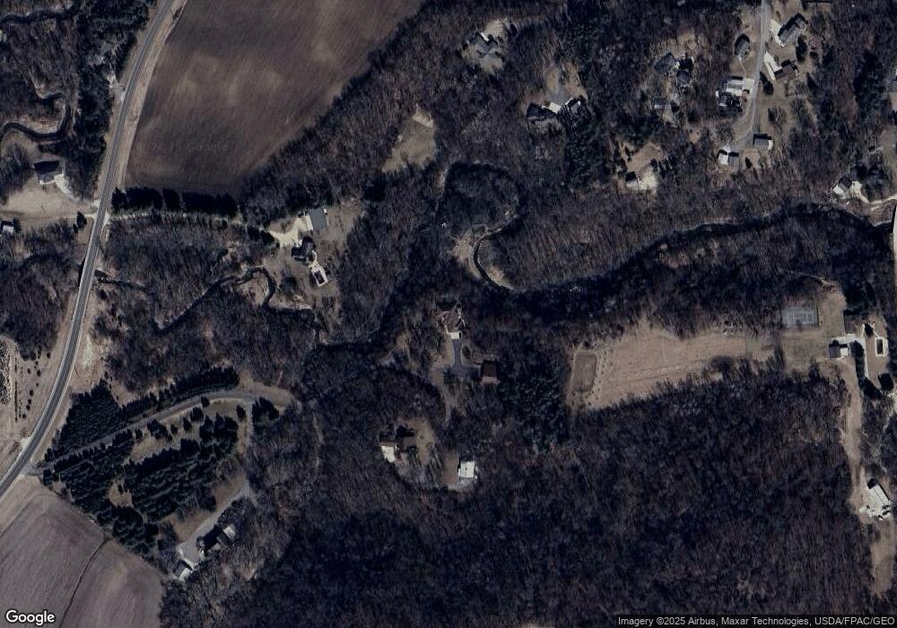
Map
Nearby Homes
- 1056 Birch Ave
- 912 Aurora Cir
- 936 Aurora Cir
- 921 Snowbird Dr
- 853 Aurora Cir
- 4739 Big Sky Ct
- 914 Snowbird Dr
- 980 Aurora Cir
- 910 Snowbird Dr
- 906 Snowbird Dr
- 4786 Mount Hood Ln
- TBD Mill Rd
- 808 Aurora Cir
- 4958 Chalet Ct
- 4990 Chalet Ct
- 4994 Chalet Ct
- 4986 Chalet Ct
- 4976 Chalet Ct
- 135 Kingswood Dr
- 232 Fern Ave
- 1303 Spring Creek Rd
- 1475 Spring Creek Rd
- 4449 Wiebusch Dr
- 1283 Reding Ave
- 4463 Wiebusch Dr
- 1503 Spring Creek Rd
- 1275 Reding Ave
- 1250 Reding Ave
- 1190 Reding Ave
- 4445 Wiebusch Dr
- 4435 Wiebusch Dr
- 4425 Wiebusch Dr
- 1372 Peaceful Ridge Rd
- 1205 Reding Ave
- 4415 Wiebusch Dr
- 1148 Nelson Ave
- 1262 Spring Creek Rd
- 4405 Wiebusch Dr
- 1302 Peaceful Ridge Rd
- 4418 Wiebusch Dr