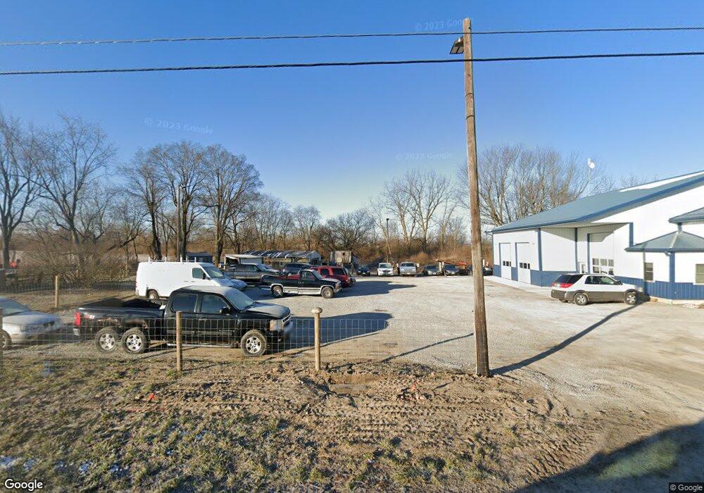
14073 State Route 31 Kenton, OH 43326
Estimated Value: $145,380
4
Beds
2
Baths
1,900
Sq Ft
$77/Sq Ft
Est. Value
About This Home
This home is located at 14073 State Route 31, Kenton, OH 43326 and is currently priced at $145,380, approximately $76 per square foot. 14073 State Route 31 is a home located in Hardin County with nearby schools including Kenton Elementary School, Kenton Middle School, and Kenton High School.
Ownership History
Date
Name
Owned For
Owner Type
Purchase Details
Closed on
Apr 26, 2018
Sold by
Nicholas Sheila A
Bought by
Mcnally Corey J and Mcnally Darla S
Current Estimated Value
Purchase Details
Closed on
Nov 21, 2017
Sold by
Estate Of Leon Nichols
Bought by
Nichols Shelia
Purchase Details
Closed on
Mar 18, 2005
Sold by
Bank Of National Assn
Bought by
Nicholas Leon A and Nicholas Sheila A
Purchase Details
Closed on
Apr 30, 1992
Purchase Details
Closed on
Jul 13, 1988
Create a Home Valuation Report for This Property
The Home Valuation Report is an in-depth analysis detailing your home's value as well as a comparison with similar homes in the area
Home Values in the Area
Average Home Value in this Area
Purchase History
| Date | Buyer | Sale Price | Title Company |
|---|---|---|---|
| Mcnally Corey J | $32,500 | None Available | |
| Nichols Shelia | -- | None Available | |
| Nicholas Leon A | $48,000 | -- | |
| -- | -- | -- | |
| -- | $59,000 | -- |
Source: Public Records
Tax History Compared to Growth
Tax History
| Year | Tax Paid | Tax Assessment Tax Assessment Total Assessment is a certain percentage of the fair market value that is determined by local assessors to be the total taxable value of land and additions on the property. | Land | Improvement |
|---|---|---|---|---|
| 2024 | $3,465 | $75,470 | $10,120 | $65,350 |
| 2023 | $3,465 | $75,470 | $10,120 | $65,350 |
| 2022 | $2,108 | $46,050 | $7,330 | $38,720 |
| 2021 | $1,125 | $24,050 | $7,330 | $16,720 |
| 2020 | $976 | $24,050 | $7,330 | $16,720 |
| 2019 | $2,418 | $62,840 | $7,120 | $55,720 |
| 2015 | $681 | $19,090 | $6,550 | $12,540 |
| 2014 | $5,531 | $19,090 | $6,550 | $12,540 |
| 2013 | $2,435 | $18,290 | $6,550 | $11,740 |
Source: Public Records
Map
Nearby Homes
- 13450 State Route 292
- 320 Letson Ave
- 727 S Detroit St
- 920 Cooper St
- 639 S Main St
- 510 Decatur St
- 508 Decatur St
- 115 Scioto St
- 11896 Parklane Dr
- 530 E Franklin St
- 414 Robinson Ave
- 513 E Franklin St
- 39 Grape St
- 121 S High St
- 79 Broadway St
- 509 E Carrol St
- 1 C Ct
- 215 N Main St
- 219 W Carrol St
- 233 N Main St
- 14073 State Route 31
- 14073 Sr
- 14084 State Route 31
- 14020 State Route 31
- 13927 State Route 31
- 13908 State Route 31
- 14267 State Route 31
- 13810 State Route 31
- 13890 State Route 292
- 14033 County Road 175
- 13770 State Route 292
- 13915 County Road 175
- 14052 State Route 292
- 14069 County Road 175
- 13720 State Route 292
- 14105 County Road 175
- 14147 County Road 175
- 13880 County Road 175
- 13758 County Road 175
- 14200 County Road 175