1408 Leas Way Hatfield, PA 19440
Estimated Value: $557,000 - $615,000
4
Beds
3
Baths
2,304
Sq Ft
$257/Sq Ft
Est. Value
About This Home
This home is located at 1408 Leas Way, Hatfield, PA 19440 and is currently estimated at $591,275, approximately $256 per square foot. 1408 Leas Way is a home located in Montgomery County with nearby schools including A. M. Kulp Elementary School, Pennfield Middle School, and North Penn Senior High School.
Ownership History
Date
Name
Owned For
Owner Type
Purchase Details
Closed on
Mar 31, 2005
Sold by
Shaedle Warren G and Shaedle Doris J
Bought by
Quirk Robert P and Quirk Melissa A
Current Estimated Value
Home Financials for this Owner
Home Financials are based on the most recent Mortgage that was taken out on this home.
Original Mortgage
$215,000
Outstanding Balance
$110,949
Interest Rate
5.78%
Mortgage Type
New Conventional
Estimated Equity
$480,326
Create a Home Valuation Report for This Property
The Home Valuation Report is an in-depth analysis detailing your home's value as well as a comparison with similar homes in the area
Home Values in the Area
Average Home Value in this Area
Purchase History
| Date | Buyer | Sale Price | Title Company |
|---|---|---|---|
| Quirk Robert P | $325,000 | -- |
Source: Public Records
Mortgage History
| Date | Status | Borrower | Loan Amount |
|---|---|---|---|
| Open | Quirk Robert P | $215,000 |
Source: Public Records
Tax History Compared to Growth
Tax History
| Year | Tax Paid | Tax Assessment Tax Assessment Total Assessment is a certain percentage of the fair market value that is determined by local assessors to be the total taxable value of land and additions on the property. | Land | Improvement |
|---|---|---|---|---|
| 2025 | $6,778 | $169,280 | -- | -- |
| 2024 | $6,778 | $169,280 | -- | -- |
| 2023 | $6,487 | $169,280 | $0 | $0 |
| 2022 | $6,275 | $169,280 | $0 | $0 |
| 2021 | $6,097 | $169,280 | $0 | $0 |
| 2020 | $5,641 | $160,400 | $48,380 | $112,020 |
| 2019 | $5,546 | $160,400 | $48,380 | $112,020 |
| 2018 | $5,547 | $160,400 | $48,380 | $112,020 |
| 2017 | $5,335 | $160,400 | $48,380 | $112,020 |
| 2016 | $5,272 | $160,400 | $48,380 | $112,020 |
| 2015 | $5,061 | $160,400 | $48,380 | $112,020 |
| 2014 | $5,061 | $160,400 | $48,380 | $112,020 |
Source: Public Records
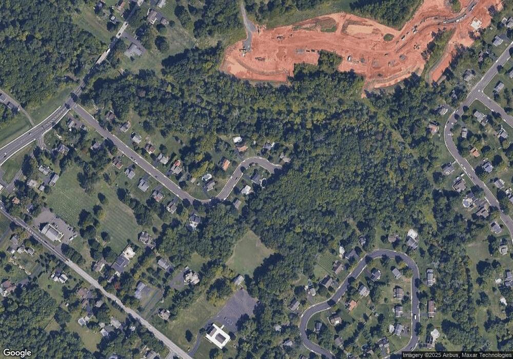
Map
Nearby Homes