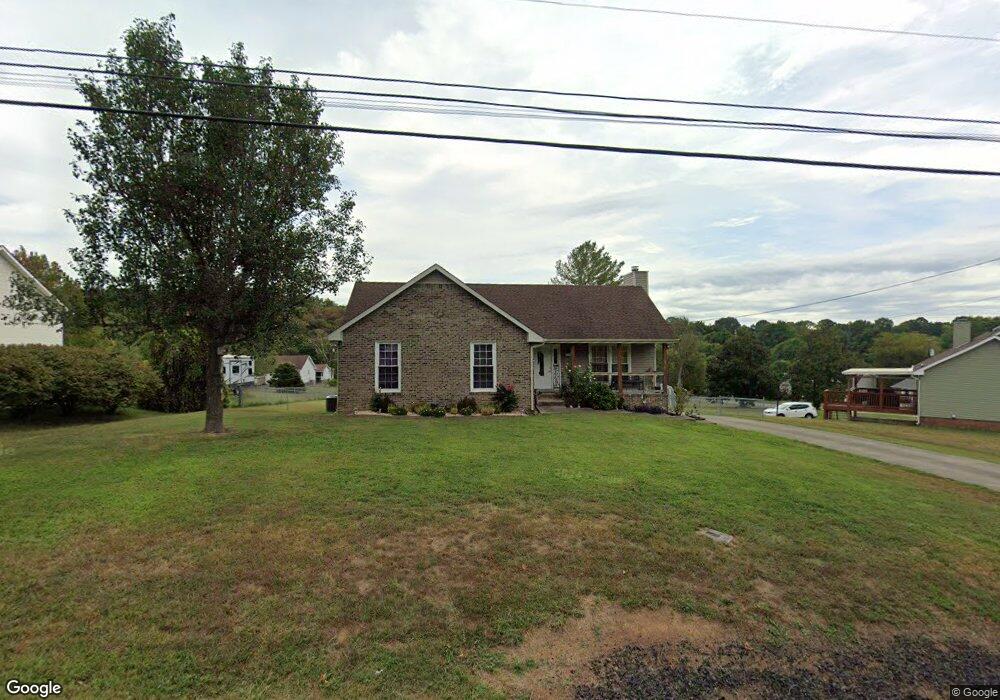
1408 McClardy Rd Clarksville, TN 37042
Estimated Value: $256,347 - $287,000
--
Bed
2
Baths
1,482
Sq Ft
$184/Sq Ft
Est. Value
About This Home
This home is located at 1408 McClardy Rd, Clarksville, TN 37042 and is currently estimated at $272,837, approximately $184 per square foot. 1408 McClardy Rd is a home located in Montgomery County with nearby schools including West Creek Elementary School, Kenwood Middle School, and Kenwood High School.
Ownership History
Date
Name
Owned For
Owner Type
Purchase Details
Closed on
Feb 27, 2007
Sold by
Gunnell Mark K
Bought by
Wimberly Kevin M
Current Estimated Value
Purchase Details
Closed on
May 14, 1999
Sold by
Lee Mathis Jerry
Bought by
Mark Gunnell
Home Financials for this Owner
Home Financials are based on the most recent Mortgage that was taken out on this home.
Original Mortgage
$92,800
Interest Rate
6.84%
Create a Home Valuation Report for This Property
The Home Valuation Report is an in-depth analysis detailing your home's value as well as a comparison with similar homes in the area
Home Values in the Area
Average Home Value in this Area
Purchase History
| Date | Buyer | Sale Price | Title Company |
|---|---|---|---|
| Wimberly Kevin M | $110,000 | -- | |
| Mark Gunnell | $91,000 | -- |
Source: Public Records
Mortgage History
| Date | Status | Borrower | Loan Amount |
|---|---|---|---|
| Open | Wimberly Kevin M | $98,821 | |
| Previous Owner | Mark Gunnell | $92,800 |
Source: Public Records
Tax History Compared to Growth
Tax History
| Year | Tax Paid | Tax Assessment Tax Assessment Total Assessment is a certain percentage of the fair market value that is determined by local assessors to be the total taxable value of land and additions on the property. | Land | Improvement |
|---|---|---|---|---|
| 2024 | $2,079 | $69,750 | $0 | $0 |
| 2023 | $2,079 | $40,150 | $0 | $0 |
| 2022 | $1,694 | $40,150 | $0 | $0 |
| 2021 | $1,694 | $40,150 | $0 | $0 |
| 2020 | $1,613 | $40,125 | $0 | $0 |
| 2019 | $1,613 | $40,125 | $0 | $0 |
| 2018 | $1,560 | $29,225 | $0 | $0 |
| 2017 | $449 | $36,175 | $0 | $0 |
| 2016 | $1,111 | $36,175 | $0 | $0 |
| 2015 | $1,525 | $36,175 | $0 | $0 |
| 2014 | $1,504 | $36,175 | $0 | $0 |
| 2013 | $1,378 | $31,450 | $0 | $0 |
Source: Public Records
Map
Nearby Homes
- 1412 McClardy Rd
- 1397 Shady Hill Ct
- 1354 Whitt Ln
- 1382 Whitt Ln
- 1073 Bobcat Dr
- 1300 Bear Ct
- 1478 McClardy Rd
- 209 Griffey Estates
- 842 Burley Barn Rd
- 164 Griffey Estates
- 865 Burley Barn Rd
- 867 Burley Barn Rd
- 822 Sugarcane Way
- 361 Burley Barn Rd
- 726 Buffalo Ford Dr
- 734 Buffalo Ford Dr
- 1030 Mile High Dr
- 1084 Harrison Way
- 923 Hedge Apple Dr
- 1026 Foxmoor Dr
- 1410 McClardy Rd
- 1501 Robertson Ct
- 1511 Robertson Ct
- 1509 Robertson Ct
- 1513 Robertson Ct
- 1407 McClardy Rd
- 1405 McClardy Rd
- 1502 Robertson Ct
- 1403 McClardy Rd
- 1414 McClardy Rd
- 1515 Robertson Ct
- 1504 Robertson Ct
- 1402 McClardy Rd
- 1411 McClardy Rd
- 1506 Robertson Ct
- 1514 Robertson Ct
- 1125 Justin Douglas Ct
- 1508 Robertson Ct
- 1512 Robertson Ct
- 1416 McClardy Rd