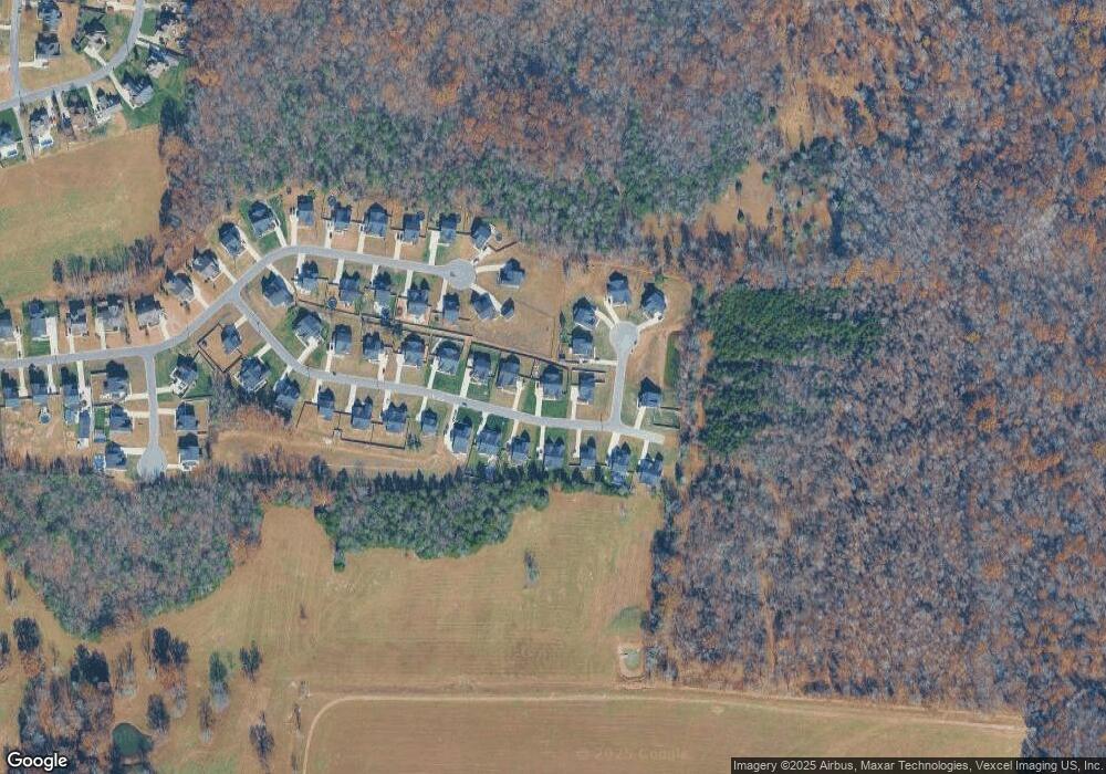
1409 Dawbarn Dr Murfreesboro, TN 37128
Estimated Value: $610,813 - $683,000
--
Bed
4
Baths
2,759
Sq Ft
$231/Sq Ft
Est. Value
About This Home
This home is located at 1409 Dawbarn Dr, Murfreesboro, TN 37128 and is currently estimated at $637,453, approximately $231 per square foot. 1409 Dawbarn Dr is a home located in Rutherford County with nearby schools including Rockvale Elementary School, Rockvale Middle School, and Rockvale High School.
Ownership History
Date
Name
Owned For
Owner Type
Purchase Details
Closed on
Apr 11, 2022
Sold by
Burris and Loretta
Bought by
Morning Light Trust
Current Estimated Value
Purchase Details
Closed on
Sep 21, 2021
Sold by
Nvr Inc
Bought by
Burris John and Burris Loretta
Home Financials for this Owner
Home Financials are based on the most recent Mortgage that was taken out on this home.
Original Mortgage
$168,000
Interest Rate
2.8%
Mortgage Type
New Conventional
Purchase Details
Closed on
Jun 3, 2021
Sold by
Midway Land Llc
Bought by
Nvr Inc and Ryan Homes
Purchase Details
Closed on
May 28, 2021
Sold by
Midway Land Llc
Bought by
Nvr Inc
Create a Home Valuation Report for This Property
The Home Valuation Report is an in-depth analysis detailing your home's value as well as a comparison with similar homes in the area
Home Values in the Area
Average Home Value in this Area
Purchase History
| Date | Buyer | Sale Price | Title Company |
|---|---|---|---|
| Morning Light Trust | -- | None Listed On Document | |
| Burris John | $550,325 | Settlement Svcs Of Nashhvill | |
| Nvr Inc | $75,000 | Settlement Services Of Nashv | |
| Nvr Inc | $75,000 | None Listed On Document |
Source: Public Records
Mortgage History
| Date | Status | Borrower | Loan Amount |
|---|---|---|---|
| Previous Owner | Burris John | $168,000 |
Source: Public Records
Tax History Compared to Growth
Tax History
| Year | Tax Paid | Tax Assessment Tax Assessment Total Assessment is a certain percentage of the fair market value that is determined by local assessors to be the total taxable value of land and additions on the property. | Land | Improvement |
|---|---|---|---|---|
| 2025 | $2,402 | $128,025 | $18,750 | $109,275 |
| 2024 | $2,402 | $128,025 | $18,750 | $109,275 |
| 2023 | $2,373 | $126,500 | $18,750 | $107,750 |
| 2022 | $2,044 | $126,500 | $18,750 | $107,750 |
| 2021 | $316 | $14,250 | $14,250 | $0 |
Source: Public Records
Map
Nearby Homes
- 1405 Dawbarn Dr
- 3904 Rowland Rd
- 3910 Rowland Rd
- 2835 Canfield Dr
- 2707 Holly Springs Dr
- 3909 Delzotto Dr
- 2614 Holly Springs Dr
- 2707 Congress Dr
- 3925 Delzotto Dr
- 3814 Carriage Dr
- 3261 Armstrong Valley Rd
- 1313 Round Rock Dr
- 1796 Whitus Rd
- 4999 Crescent Ln
- 4008 Michelle St
- 3880 Barfield Crescent Rd
- 4706 Barfield Crescent Rd
- 4024 Tawnya Charles Ln
- 109 Red Top Ct
- 4013 Tawnya Charles Ln
- 1408 Dawbarn Dr
- 1412 Dawbarn Dr
- 1415 Dawbarn Dr
- 1416 Dawbarn Dr
- 1404 Dawbarn Dr
- 1419 Dawbarn Dr
- 2709 Forestdowns Ct
- 1420 Dawbarn Dr
- 1632 Lila Dr
- 1348 Dawbarn Dr
- 2712 Forestdowns Ct
- 2705 Forestdowns Ct
- 1423 Dawbarn Dr
- 1424 Dawbarn Dr
- 1 Genoa
- 2701 Forestdowns Ct
- 1344 Dawbarn Dr
- 1635 Lila Dr
- 2702 Forestdowns Ct
- 1427 Dawbarn Dr
