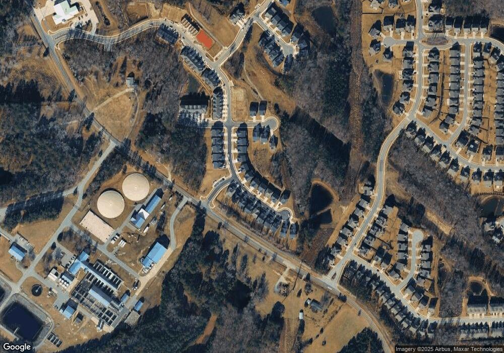
1409 Wimberly Rd Apex, NC 27523
Green Level NeighborhoodEstimated Value: $1,668,545
--
Bed
2
Baths
1,954
Sq Ft
$854/Sq Ft
Est. Value
About This Home
This home is located at 1409 Wimberly Rd, Apex, NC 27523 and is currently priced at $1,668,545, approximately $853 per square foot. 1409 Wimberly Rd is a home located in Wake County with nearby schools including Salem Elementary, Salem Middle, and Green Level High School.
Ownership History
Date
Name
Owned For
Owner Type
Purchase Details
Closed on
Mar 21, 2023
Sold by
Wellfield Development Llc
Bought by
Ashton Raleigh Residential Llc
Current Estimated Value
Purchase Details
Closed on
Mar 23, 2021
Sold by
Wolfe Billy Ray and Wolfe Alexia
Bought by
Welifield Development Llc
Home Financials for this Owner
Home Financials are based on the most recent Mortgage that was taken out on this home.
Original Mortgage
$3,729,500
Interest Rate
3%
Mortgage Type
Commercial
Create a Home Valuation Report for This Property
The Home Valuation Report is an in-depth analysis detailing your home's value as well as a comparison with similar homes in the area
Home Values in the Area
Average Home Value in this Area
Purchase History
| Date | Buyer | Sale Price | Title Company |
|---|---|---|---|
| Ashton Raleigh Residential Llc | $2,325,000 | -- | |
| Welifield Development Llc | $1,250,000 | None Available |
Source: Public Records
Mortgage History
| Date | Status | Borrower | Loan Amount |
|---|---|---|---|
| Previous Owner | Welifield Development Llc | $3,729,500 |
Source: Public Records
Tax History Compared to Growth
Tax History
| Year | Tax Paid | Tax Assessment Tax Assessment Total Assessment is a certain percentage of the fair market value that is determined by local assessors to be the total taxable value of land and additions on the property. | Land | Improvement |
|---|---|---|---|---|
| 2022 | $7,112 | $483,520 | $483,520 | $0 |
| 2021 | $6,840 | $688,896 | $483,520 | $205,376 |
| 2020 | $4,780 | $688,896 | $483,520 | $205,376 |
| 2019 | $4,367 | $532,212 | $382,620 | $149,592 |
| 2018 | $4,014 | $532,212 | $382,620 | $149,592 |
| 2017 | $3,804 | $532,212 | $382,620 | $149,592 |
| 2016 | $3,727 | $532,212 | $382,620 | $149,592 |
| 2015 | $3,421 | $489,651 | $338,425 | $151,226 |
| 2014 | $3,242 | $489,651 | $338,425 | $151,226 |
Source: Public Records
Map
Nearby Homes
- 2713 Tunstall Grove Dr
- 964 Double Helix Rd
- 966 Double Helix Rd
- 968 Double Helix Rd
- 2581 Vining Branch Way
- 2542 Vining Branch Way
- 2554 Vining Branch Way
- 2534 Vining Branch Way
- 717 Ahad Ct
- 2533 Sunnybranch Ln
- 7529 Creekbird Rd
- 713 Ct
- 705 Ahad Ct
- 818 Haybeck Ln
- 944 Steel Mill Ln
- 3212 Us 64 Hwy W
- 2809 U S Highway 64
- 729 Wimberly Rd
- 501 Lyndenbury Dr
- 103 Duncroft Ct
- 743 Mirkwood Ave
- 749 Mirkwood Ave
- 739 Mirkwood Ave
- 735 Mirkwood Ave
- 679 Mirkwood Ave Unit 98
- 656 Mirkwood Ave Unit 83
- 658 Mirkwood Ave
- 654 Mirkwood Ave
- 689 Mirkwood Ave
- 673 Mirkwood Ave
- 671 Mirkwood Ave Unit 94
- 759 Mirkwood Ave
- 731 Mirkwood Ave
- 2705 Kerley Cir
- 763 Mirkwood Ave
- 2713 Kerley Cir
- 727 Mirkwood Ave
- 1405 Wimberly Rd
- 2709 Kerley Cir
- 769 Mirkwood Ave
