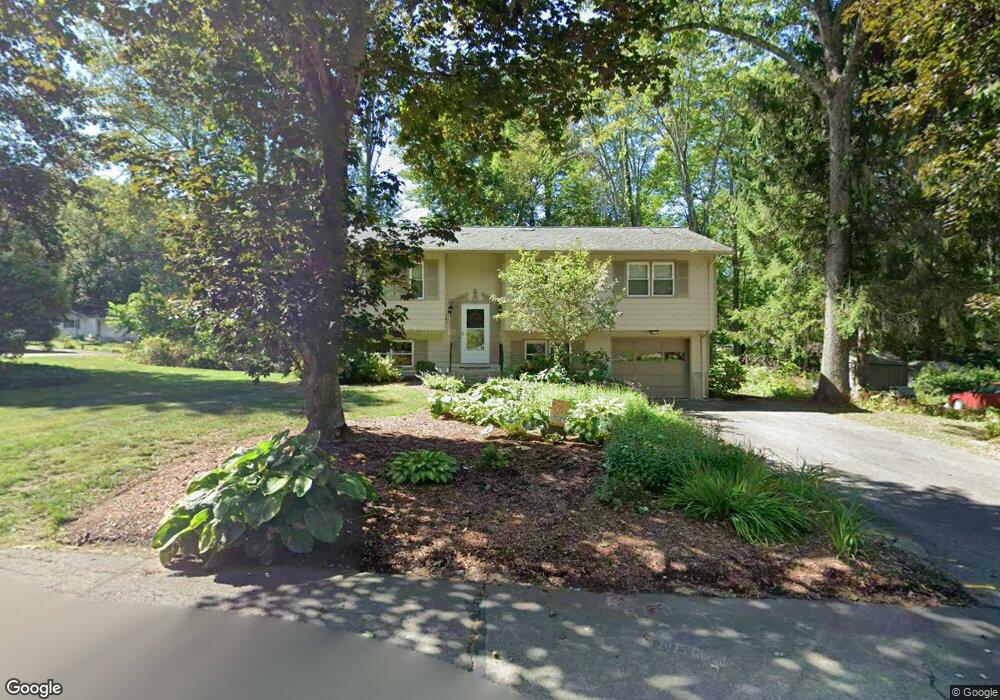
141 Acrebrook Dr Florence, MA 01062
Florence NeighborhoodEstimated Value: $379,000 - $432,000
3
Beds
1
Bath
1,104
Sq Ft
$357/Sq Ft
Est. Value
About This Home
This home is located at 141 Acrebrook Dr, Florence, MA 01062 and is currently estimated at $393,677, approximately $356 per square foot. 141 Acrebrook Dr is a home located in Hampshire County with nearby schools including Northampton High School, Hilltown Cooperative Charter Public School, and The Montessori School of Northampton.
Ownership History
Date
Name
Owned For
Owner Type
Purchase Details
Closed on
May 19, 2023
Sold by
Noonan Michael and Noonan Sylvia
Bought by
Smith Gerald and Smith Allison
Current Estimated Value
Purchase Details
Closed on
Aug 15, 1984
Bought by
Noonan Michael
Create a Home Valuation Report for This Property
The Home Valuation Report is an in-depth analysis detailing your home's value as well as a comparison with similar homes in the area
Home Values in the Area
Average Home Value in this Area
Purchase History
| Date | Buyer | Sale Price | Title Company |
|---|---|---|---|
| Smith Gerald | -- | None Available | |
| Noonan Michael | -- | None Available | |
| Noonan Michael | $66,000 | -- |
Source: Public Records
Mortgage History
| Date | Status | Borrower | Loan Amount |
|---|---|---|---|
| Previous Owner | Noonan Michael | $75,000 | |
| Previous Owner | Noonan Michael | $60,000 | |
| Previous Owner | Noonan Michael | $30,000 |
Source: Public Records
Tax History
| Year | Tax Paid | Tax Assessment Tax Assessment Total Assessment is a certain percentage of the fair market value that is determined by local assessors to be the total taxable value of land and additions on the property. | Land | Improvement |
|---|---|---|---|---|
| 2025 | $5,172 | $371,300 | $122,100 | $249,200 |
| 2024 | $5,069 | $333,700 | $122,100 | $211,600 |
| 2023 | $4,340 | $274,000 | $111,000 | $163,000 |
| 2022 | $4,329 | $242,000 | $111,000 | $131,000 |
| 2021 | $4,007 | $230,700 | $106,000 | $124,700 |
| 2020 | $3,876 | $230,700 | $106,000 | $124,700 |
| 2019 | $3,625 | $208,700 | $91,000 | $117,700 |
| 2018 | $3,543 | $207,900 | $91,000 | $116,900 |
| 2017 | $3,470 | $207,900 | $91,000 | $116,900 |
| 2016 | $3,360 | $207,900 | $91,000 | $116,900 |
| 2015 | $3,400 | $215,200 | $91,000 | $124,200 |
| 2014 | $3,312 | $215,200 | $91,000 | $124,200 |
Source: Public Records
Map
Nearby Homes
- 296 Ryan Rd
- 815 Burts Pit Rd
- 723 Lot B Ryan Rd
- 72 Emerson Way
- 42 Clark St
- 589 Florence Rd
- 635 Florence Rd
- 697 Florence Rd
- 37 Landy Ave
- 967 Florence Rd
- 67 Park St Unit A
- 76 Maple St
- 14 Meadow St
- 296 Old Wilson Rd
- 404 Sylvester Rd
- 832 Westhampton Rd
- 44 Sheffield Ln
- 63 Riverside Dr
- 32 Stilson Ave
- 20-11 Sylvester Rd
- 125 Acrebrook Dr
- 44 Beattie Dr
- 36 Beattie Dr
- 144 Acrebrook Dr
- 128 Acrebrook Dr
- 136 Acrebrook Dr
- 152 Acrebrook Dr
- 117 Acrebrook Dr
- 160 Acrebrook Dr
- 120 Acrebrook Dr
- 28 Beattie Dr
- 168 Acrebrook Dr
- 43 Beattie Dr
- 112 Acrebrook Dr
- 35 Beattie Dr
- 164 Overlook Dr
- 156 Overlook Dr
- 20 Beattie Dr
- 148 Overlook Dr
- 176 Acrebrook Dr
Your Personal Tour Guide
Ask me questions while you tour the home.