141 Algonquin Rd Enfield, NH 03748
Estimated Value: $775,000 - $864,754
3
Beds
3
Baths
2,149
Sq Ft
$381/Sq Ft
Est. Value
About This Home
This home is located at 141 Algonquin Rd, Enfield, NH 03748 and is currently estimated at $818,189, approximately $380 per square foot. 141 Algonquin Rd is a home located in Grafton County with nearby schools including Enfield Village School, Indian River School, and Mascoma Valley Regional High School.
Ownership History
Date
Name
Owned For
Owner Type
Purchase Details
Closed on
Oct 16, 2007
Sold by
Ingrid Butterfield T
Bought by
Considine William J and Considine Claudia E
Current Estimated Value
Home Financials for this Owner
Home Financials are based on the most recent Mortgage that was taken out on this home.
Original Mortgage
$230,000
Outstanding Balance
$145,686
Interest Rate
6.49%
Mortgage Type
Purchase Money Mortgage
Estimated Equity
$672,503
Create a Home Valuation Report for This Property
The Home Valuation Report is an in-depth analysis detailing your home's value as well as a comparison with similar homes in the area
Home Values in the Area
Average Home Value in this Area
Purchase History
| Date | Buyer | Sale Price | Title Company |
|---|---|---|---|
| Considine William J | $500,000 | -- |
Source: Public Records
Mortgage History
| Date | Status | Borrower | Loan Amount |
|---|---|---|---|
| Open | Considine William J | $230,000 |
Source: Public Records
Tax History Compared to Growth
Tax History
| Year | Tax Paid | Tax Assessment Tax Assessment Total Assessment is a certain percentage of the fair market value that is determined by local assessors to be the total taxable value of land and additions on the property. | Land | Improvement |
|---|---|---|---|---|
| 2024 | $12,847 | $759,700 | $429,000 | $330,700 |
| 2023 | $11,940 | $439,600 | $234,300 | $205,300 |
| 2022 | $11,253 | $437,000 | $234,300 | $202,700 |
| 2021 | $10,973 | $437,000 | $234,300 | $202,700 |
| 2020 | $11,122 | $437,000 | $234,300 | $202,700 |
| 2015 | $10,205 | $406,900 | $236,500 | $170,400 |
| 2014 | $10,255 | $442,800 | $281,200 | $161,600 |
| 2013 | $9,440 | $442,800 | $281,200 | $161,600 |
| 2012 | $8,215 | $404,700 | $281,200 | $123,500 |
Source: Public Records
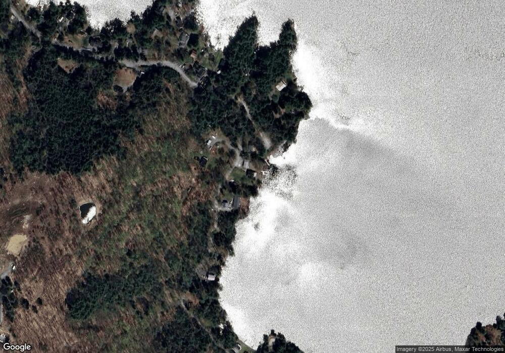
Map
Nearby Homes
- 0 Grafton Pond Rd Unit 64-1
- 62 Palmer Rd
- 453 Rt 4 Dr
- 0 Oak Hill Rd Unit 1B
- 20 Bonardi Dr
- 672-3 Bog Rd
- 461 Bog Rd
- Lot 1 Nh Route 4a
- Lot 2 Nh Route 4a
- Lot 4 Nh Route 4a
- 639 Bog Rd
- 672 Bog Rd
- 13 Lark Place
- 303 Road Round the Rd
- 0 Lovejoy Brook Rd
- 21 Shore Rd
- 12 Cherry Ln
- 64 High Pond Rd
- 25 Union St
- 295 Frye Ln
- 137 Algonquin Rd
- 143 Algonquin Rd
- 129 Algonquin Rd
- 121 Algonquin Rd
- 140 Algonquin Rd
- 117 Algonquin Rd
- 133 Algonquin Rd
- 113 Algonquin Rd
- 119 Algonquin Rd
- 171 Algonquin Rd
- 109 Algonquin Rd
- 190 Algonquin Rd
- 10 Rollins Point Rd
- 98 Algonquin Rd
- 187 Algonquin Rd
- 153 Algonquin Rd
- 12 Rollins Point Rd
- 189 Algonquin Rd
- 5 Rollins Point Rd
- 93 Algonquin Rd