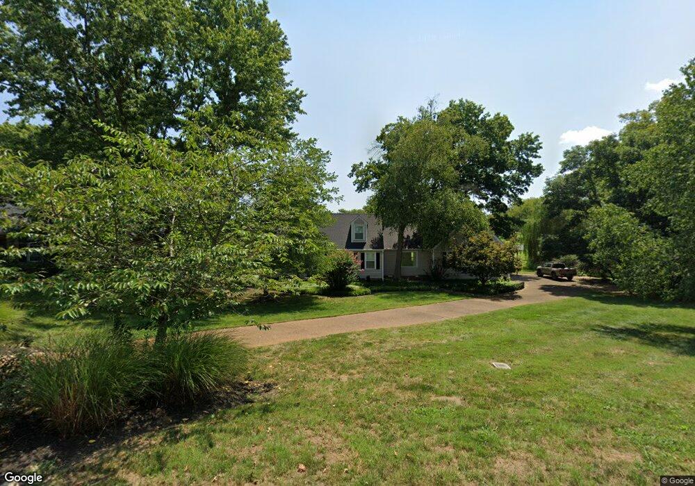
141 Baltusrol Rd Franklin, TN 37069
Estimated Value: $758,422 - $932,000
--
Bed
3
Baths
2,839
Sq Ft
$295/Sq Ft
Est. Value
About This Home
This home is located at 141 Baltusrol Rd, Franklin, TN 37069 and is currently estimated at $838,606, approximately $295 per square foot. 141 Baltusrol Rd is a home located in Williamson County with nearby schools including Grassland Elementary School, Grassland Middle School, and Franklin High School.
Ownership History
Date
Name
Owned For
Owner Type
Purchase Details
Closed on
Nov 14, 2003
Sold by
Royse Dale A and Royse Wendy S
Bought by
Westerman Steven L and Westerman Elizabeth B
Current Estimated Value
Home Financials for this Owner
Home Financials are based on the most recent Mortgage that was taken out on this home.
Original Mortgage
$194,000
Outstanding Balance
$84,409
Interest Rate
5.12%
Mortgage Type
New Conventional
Estimated Equity
$754,197
Purchase Details
Closed on
Jul 31, 2001
Sold by
Mcfadden David L and Mcfadden Patsy D
Bought by
Royse Dale A and Royse Wendy S
Home Financials for this Owner
Home Financials are based on the most recent Mortgage that was taken out on this home.
Original Mortgage
$150,000
Interest Rate
7.09%
Create a Home Valuation Report for This Property
The Home Valuation Report is an in-depth analysis detailing your home's value as well as a comparison with similar homes in the area
Home Values in the Area
Average Home Value in this Area
Purchase History
| Date | Buyer | Sale Price | Title Company |
|---|---|---|---|
| Westerman Steven L | $242,500 | -- | |
| Royse Dale A | $218,000 | Centennial Title Company Inc |
Source: Public Records
Mortgage History
| Date | Status | Borrower | Loan Amount |
|---|---|---|---|
| Open | Westerman Steven L | $194,000 | |
| Previous Owner | Royse Dale A | $150,000 | |
| Closed | Westerman Steven L | $36,375 |
Source: Public Records
Tax History Compared to Growth
Tax History
| Year | Tax Paid | Tax Assessment Tax Assessment Total Assessment is a certain percentage of the fair market value that is determined by local assessors to be the total taxable value of land and additions on the property. | Land | Improvement |
|---|---|---|---|---|
| 2024 | $2,293 | $121,975 | $31,250 | $90,725 |
| 2023 | $2,293 | $121,975 | $31,250 | $90,725 |
| 2022 | $2,293 | $121,975 | $31,250 | $90,725 |
| 2021 | $2,293 | $121,975 | $31,250 | $90,725 |
| 2020 | $2,163 | $97,450 | $23,750 | $73,700 |
| 2019 | $2,163 | $97,450 | $23,750 | $73,700 |
| 2018 | $2,095 | $97,450 | $23,750 | $73,700 |
| 2017 | $2,095 | $97,450 | $23,750 | $73,700 |
| 2016 | $2,095 | $97,450 | $23,750 | $73,700 |
| 2015 | -- | $81,800 | $21,250 | $60,550 |
| 2014 | -- | $81,800 | $21,250 | $60,550 |
Source: Public Records
Map
Nearby Homes
- 123 Saint Andrews Dr
- 6211 Temple Rd
- 137 Timberline Dr
- 238 Saint Andrews Dr
- 212 Timberline Ct
- 416 Winchester Dr
- 156 N Berwick Ln
- 159 N Berwick Ln
- 805 Meadow Ridge Ct
- 5621 Traceside Dr
- 162 N Berwick Ln
- 5649 Traceside Dr
- 5233 Timber Gap Dr
- 808 Carsten St
- 6007 Temple Rd
- 405 Wexford Ct
- 704 Trace Glen Ct
- 505 Leonard Ridge Ct
- 412 Sandcastle Rd
- 1316 McQuiddy Rd
- 137 Baltusrol Rd
- 147 Baltusrol Rd
- 136 Baltusrol Rd
- 131 Baltusrol Rd
- 132 Baltusrol Rd
- 142 Baltusrol Rd
- 151 Baltusrol Rd
- 106 Baltusrol Rd
- 127 Baltusrol Rd
- 154 Baltusrol Rd
- 104 Baltusrol Rd
- 121 Baltusrol Rd
- 163 Baltusrol Rd
- 165 Deercrest Cir
- 106 Doral Dr
- 102 Baltusrol Rd
- 167 Deercrest Cir
- 158 Baltusrol Rd
- 115 Baltusrol Rd
- 137 Carnousti Dr