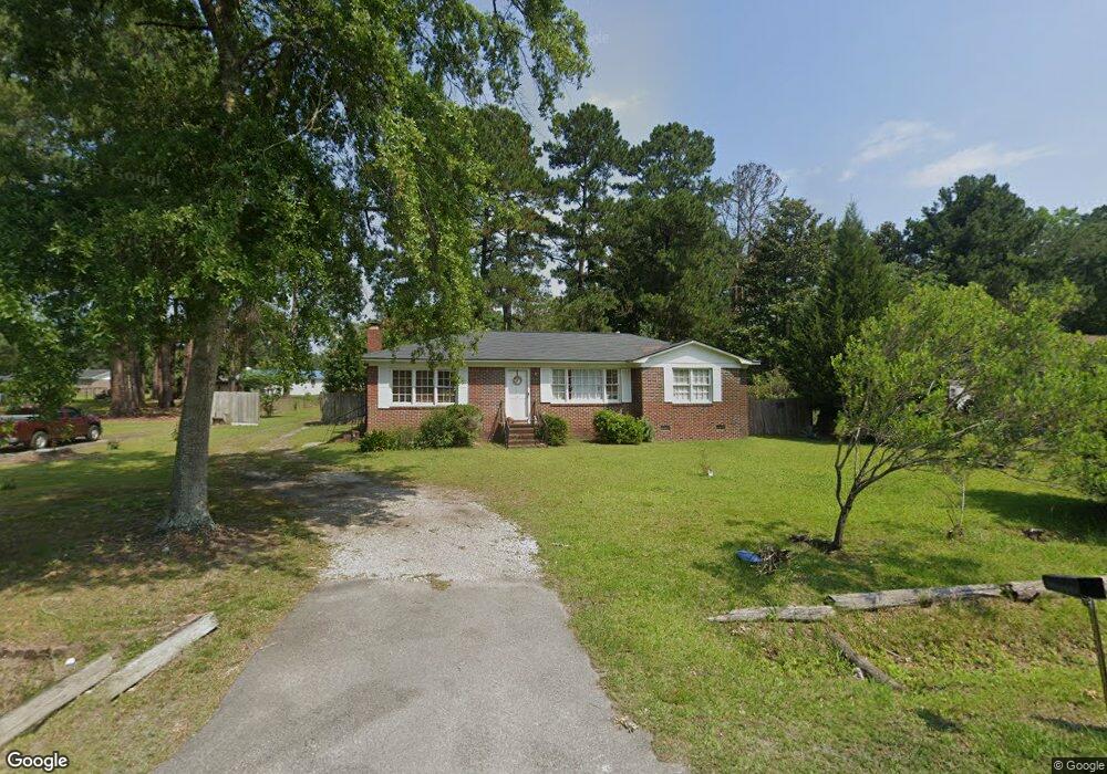
141 David St Walterboro, SC 29488
Estimated Value: $161,000 - $199,000
3
Beds
1
Bath
1,390
Sq Ft
$133/Sq Ft
Est. Value
About This Home
This home is located at 141 David St, Walterboro, SC 29488 and is currently estimated at $184,643, approximately $132 per square foot. 141 David St is a home located in Colleton County with nearby schools including Forest Hills Elementary School, Colleton County Middle, and Colleton County High School.
Ownership History
Date
Name
Owned For
Owner Type
Purchase Details
Closed on
May 24, 2007
Sold by
Walker Paul
Bought by
Brown Aston and Brown Cora
Current Estimated Value
Home Financials for this Owner
Home Financials are based on the most recent Mortgage that was taken out on this home.
Original Mortgage
$88,000
Outstanding Balance
$53,528
Interest Rate
6.17%
Mortgage Type
Purchase Money Mortgage
Estimated Equity
$131,115
Purchase Details
Closed on
Jan 16, 2007
Sold by
Teasdell Gregory
Bought by
Walker Paul
Create a Home Valuation Report for This Property
The Home Valuation Report is an in-depth analysis detailing your home's value as well as a comparison with similar homes in the area
Purchase History
| Date | Buyer | Sale Price | Title Company |
|---|---|---|---|
| Brown Aston | $89,000 | None Available | |
| Walker Paul | $31,000 | None Available |
Source: Public Records
Mortgage History
| Date | Status | Borrower | Loan Amount |
|---|---|---|---|
| Open | Brown Aston | $88,000 |
Source: Public Records
Tax History
| Year | Tax Paid | Tax Assessment Tax Assessment Total Assessment is a certain percentage of the fair market value that is determined by local assessors to be the total taxable value of land and additions on the property. | Land | Improvement |
|---|---|---|---|---|
| 2024 | $895 | $87,800 | $8,500 | $79,300 |
| 2023 | $848 | $87,800 | $8,500 | $79,300 |
| 2022 | $838 | $87,800 | $8,500 | $79,300 |
| 2021 | $834 | $87,800 | $8,500 | $79,300 |
| 2020 | $839 | $87,800 | $8,500 | $79,300 |
| 2019 | $839 | $87,800 | $8,500 | $79,300 |
| 2018 | $836 | $3,512 | $340 | $3,172 |
| 2017 | $803 | $3,512 | $340 | $3,172 |
| 2016 | $803 | $3,510 | $340 | $3,170 |
| 2015 | -- | $3,510 | $340 | $3,170 |
| 2014 | -- | $3,510 | $340 | $3,170 |
Source: Public Records
Map
Nearby Homes
- 108 Franklin St
- 1375 Peurifoy Rd
- 840 Brittle Bank Rd
- 0 Peurifoy Rd Unit 25510565
- 0 Peurifoy Rd Unit 25024277
- 0 Peurifoy Rd Unit 25512581
- 0 Peurifoy Rd Unit 25028409
- 905 Peurifoy Rd
- 0 Brittlebank Rd
- 710 Gadsden Loop
- Lot 21 Gadsden Loop
- Lot 22 Gadsden Loop
- 141 Toya St
- 89 Toya St
- 71 Herndon St Unit Tract B-6
- 313 Pine Needle Rd
- 0 Enterprise St
- 0 Fox Field Rd
- 309 Pine Needle Rd
- 203 Poplar St
Your Personal Tour Guide
Ask me questions while you tour the home.