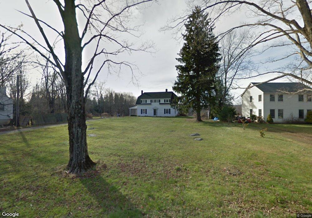
141 Maple St Litchfield, CT 06759
Estimated Value: $342,000 - $530,000
3
Beds
2
Baths
2,106
Sq Ft
$210/Sq Ft
Est. Value
About This Home
This home is located at 141 Maple St, Litchfield, CT 06759 and is currently estimated at $443,079, approximately $210 per square foot. 141 Maple St is a home located in Litchfield County with nearby schools including Center School, Litchfield Intermediate School, and Litchfield High School.
Ownership History
Date
Name
Owned For
Owner Type
Purchase Details
Closed on
Jan 22, 2009
Sold by
Stauckers 2Nd Joe
Bought by
Mazaik Kellie
Current Estimated Value
Home Financials for this Owner
Home Financials are based on the most recent Mortgage that was taken out on this home.
Original Mortgage
$75,000
Outstanding Balance
$48,235
Interest Rate
5.51%
Estimated Equity
$394,844
Create a Home Valuation Report for This Property
The Home Valuation Report is an in-depth analysis detailing your home's value as well as a comparison with similar homes in the area
Home Values in the Area
Average Home Value in this Area
Purchase History
| Date | Buyer | Sale Price | Title Company |
|---|---|---|---|
| Mazaik Kellie | $156,000 | -- | |
| Mazaik Kellie | $156,000 | -- |
Source: Public Records
Mortgage History
| Date | Status | Borrower | Loan Amount |
|---|---|---|---|
| Open | Mazaik Kellie | $75,000 | |
| Closed | Mazaik Kellie | $75,000 |
Source: Public Records
Tax History
| Year | Tax Paid | Tax Assessment Tax Assessment Total Assessment is a certain percentage of the fair market value that is determined by local assessors to be the total taxable value of land and additions on the property. | Land | Improvement |
|---|---|---|---|---|
| 2025 | $4,212 | $210,600 | $71,670 | $138,930 |
| 2024 | $3,896 | $210,600 | $71,670 | $138,930 |
| 2023 | $4,175 | $156,360 | $65,180 | $91,180 |
| 2022 | $4,190 | $156,360 | $65,180 | $91,180 |
| 2021 | $4,316 | $156,360 | $65,180 | $91,180 |
| 2020 | $4,331 | $156,360 | $65,180 | $91,180 |
| 2019 | $4,409 | $156,360 | $65,180 | $91,180 |
| 2018 | $4,693 | $169,440 | $72,380 | $97,060 |
| 2017 | $4,677 | $169,440 | $72,380 | $97,060 |
| 2016 | $4,524 | $169,440 | $72,380 | $97,060 |
| 2015 | -- | $169,440 | $72,380 | $97,060 |
| 2014 | $4,270 | $169,440 | $72,380 | $97,060 |
Source: Public Records
Map
Nearby Homes
- 700 Bantam Rd
- 28 Trumbull St
- 161 Circle Dr
- 38 Old Turnpike Rd
- 137 Old South Rd
- 107 Island Trail
- 44 South St
- 7 Hill Top Rd
- 91 North St
- 44 Bantam Lake Heights
- 415 South St
- 262 Stoddard Rd
- 00 Torrington Rd
- 124 North St
- 28 Headquarters Rd
- 115 Alain White Rd
- 204 Goodhouse Rd
- 10 Gate Post Ln
- 11 W Chestnut Hill Rd
- 374 Torrington Rd
Your Personal Tour Guide
Ask me questions while you tour the home.